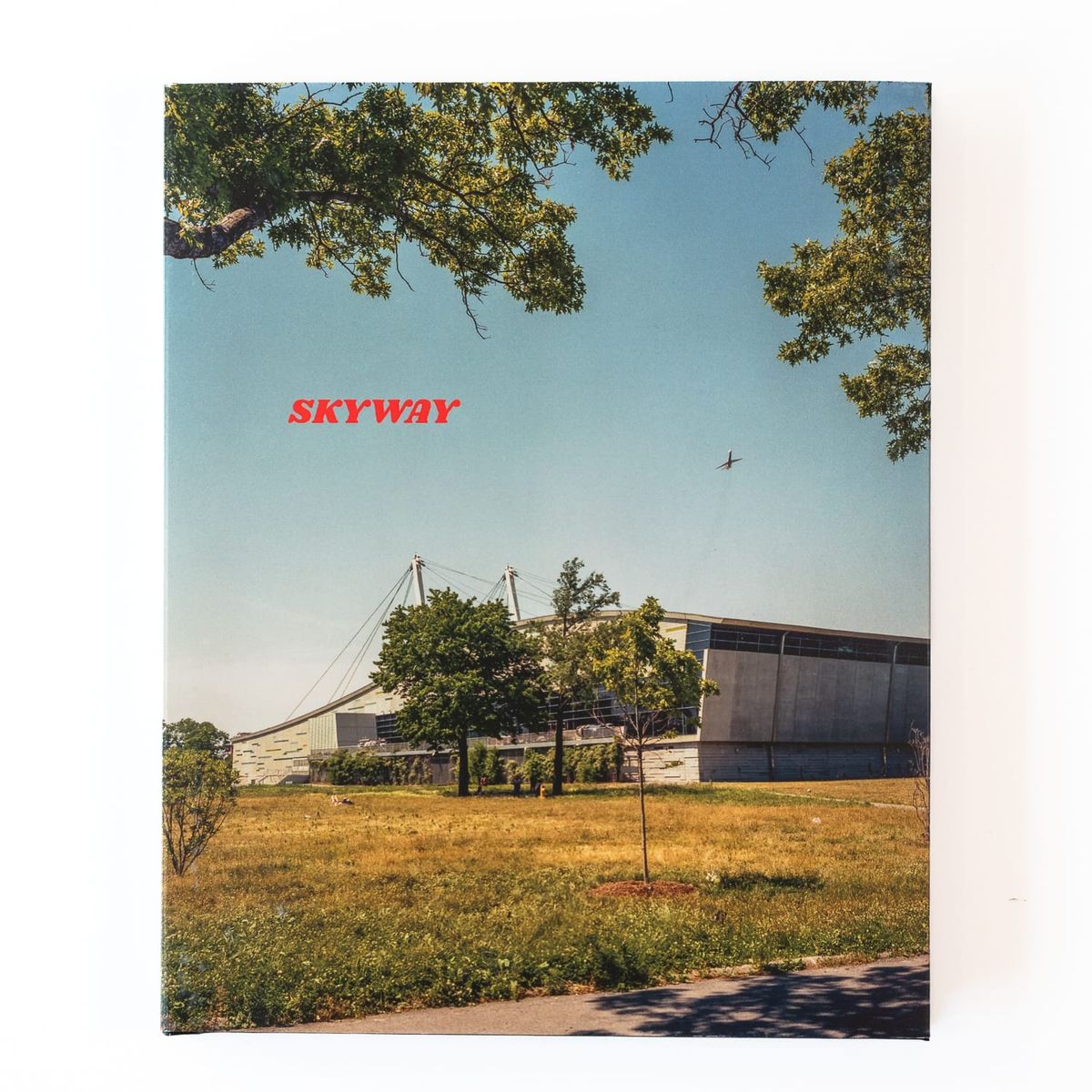
Skyway: From La Guardia to JFK
When I started photographing in Los Angeles around 2004, I worked the way many amateur photographers start: out walking and making photographs of whatever I found visually intriguing.
In that approach, public spaces were the subject by default, simply because that was where I was. When I moved to New York in 2009, I carried that approach with me.
In those first years, I still felt like a tourist, and my photographs reflected that feeling for the most part, until I stumbled upon a strange boulder on the corner of the street. This became the basis for my project The Boulder at Paidge Ave.
A to B
At some point around this time, the photographer John MaClean sent me a few of his small, conceptual books. One of them was titled A to B, a book of 42 photographs he made on 37 walks between the site of Newgate Prison and the Tyburn Tree. I don’t know the significance of these locations. I guess I probably should have asked at some point. Despite my lack of understanding, I found the book compelling in its simplicity.
Sometimes all it takes is that type of inspiration to change the course of your work. I don’t fight it or try to understand, I just go with it.
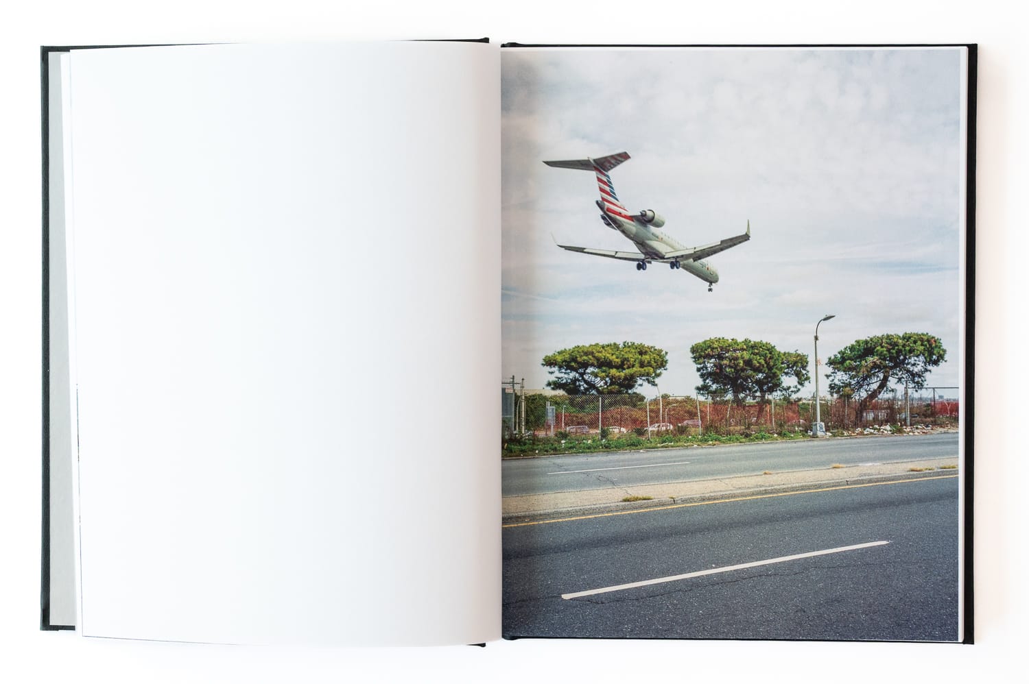
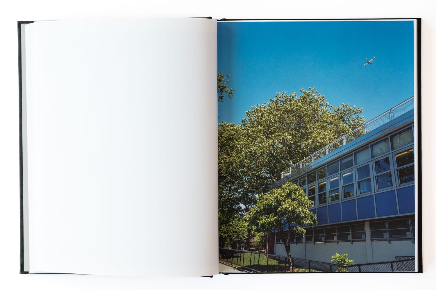
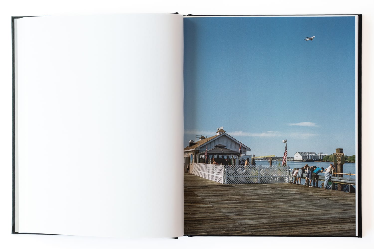
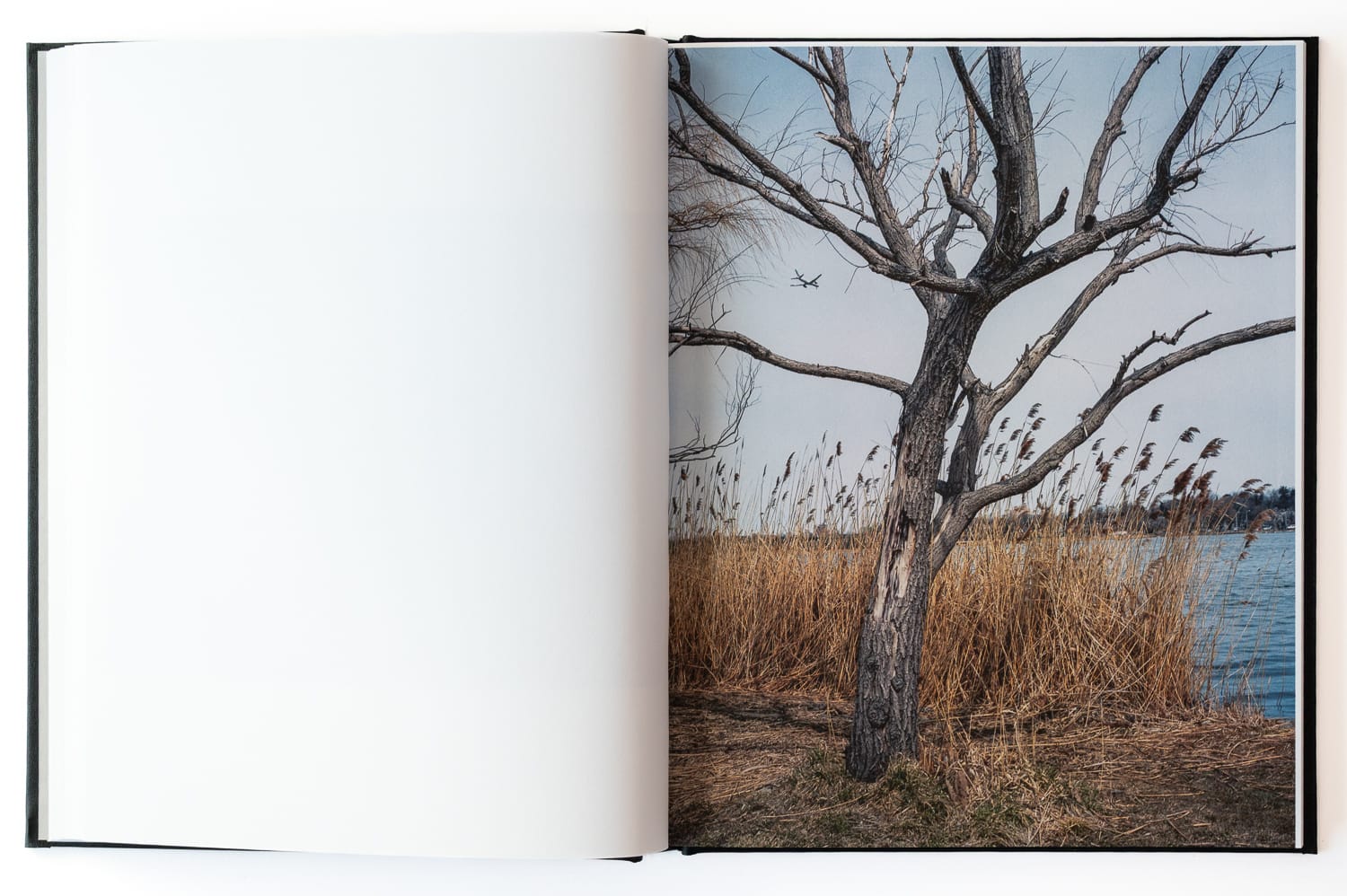
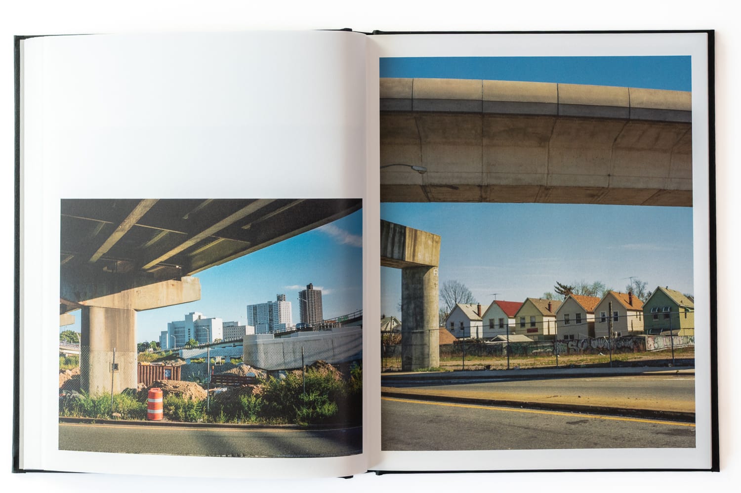
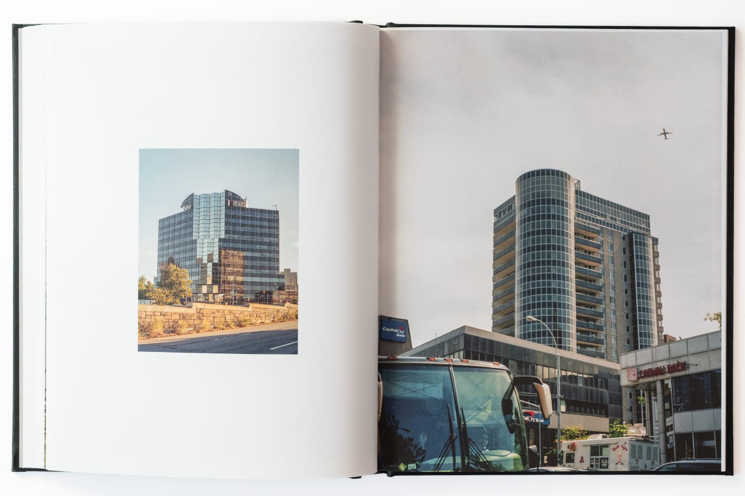
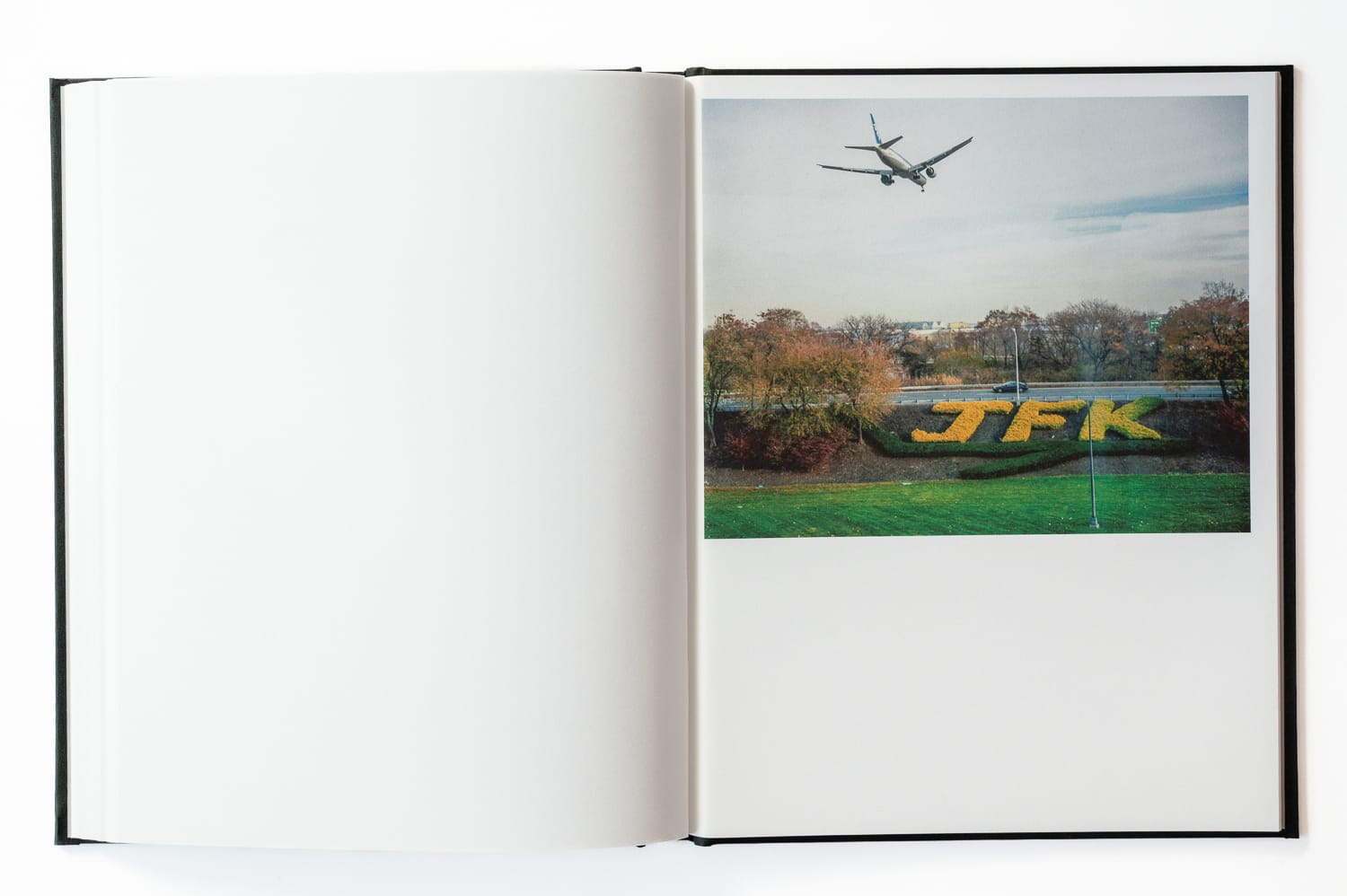
Around that same time in 2013, I was living in Astoria, Queens and had become accustomed to the constant air traffic over the borough. I became fascinated by the fact that two of the largest airports in the country sat a few miles apart in the same borough.
Flight traffic is a constant of daily life there, woven into the rhythm of the neighborhoods below. On one of my walks when I was probably a bit too stoned, I became amused by the notion that you couldn’t take a direct flight from La Guardia to JFK.
I thought to myself, “I should take a cab to La Guardia and then walk to JFK.”
That became the basis for the project. I wasn’t yet in my marathon walking form, so the actual walk took me a few weekends. I started in chunks and would pick up where I left off for each outing.
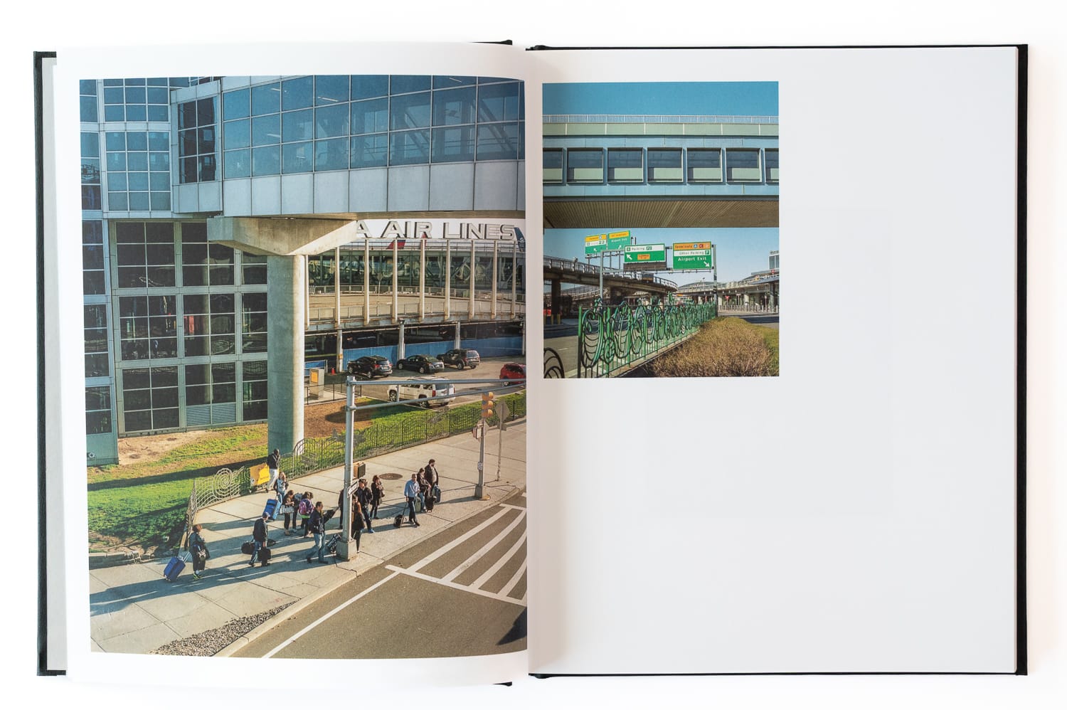
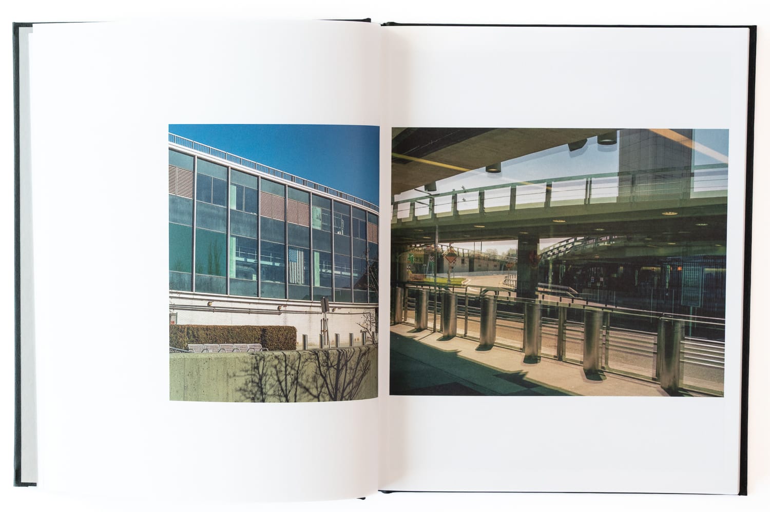
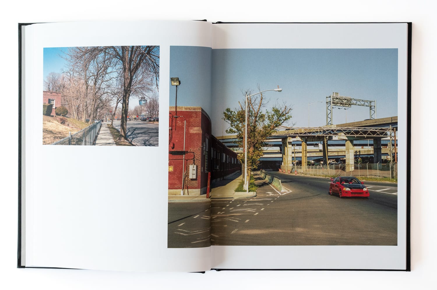
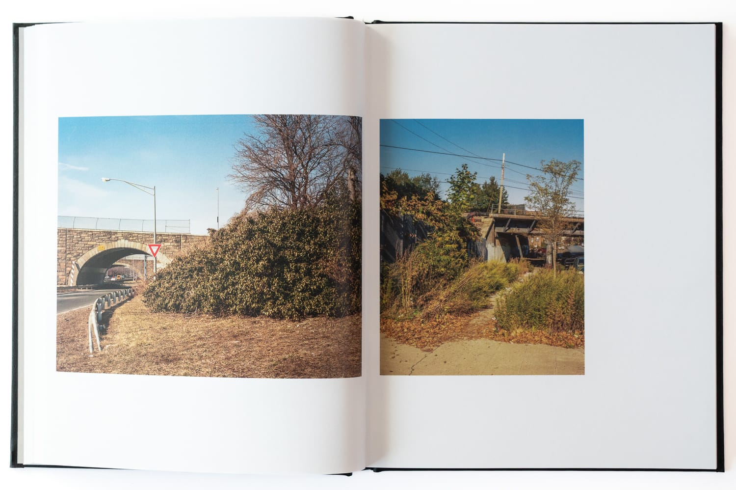
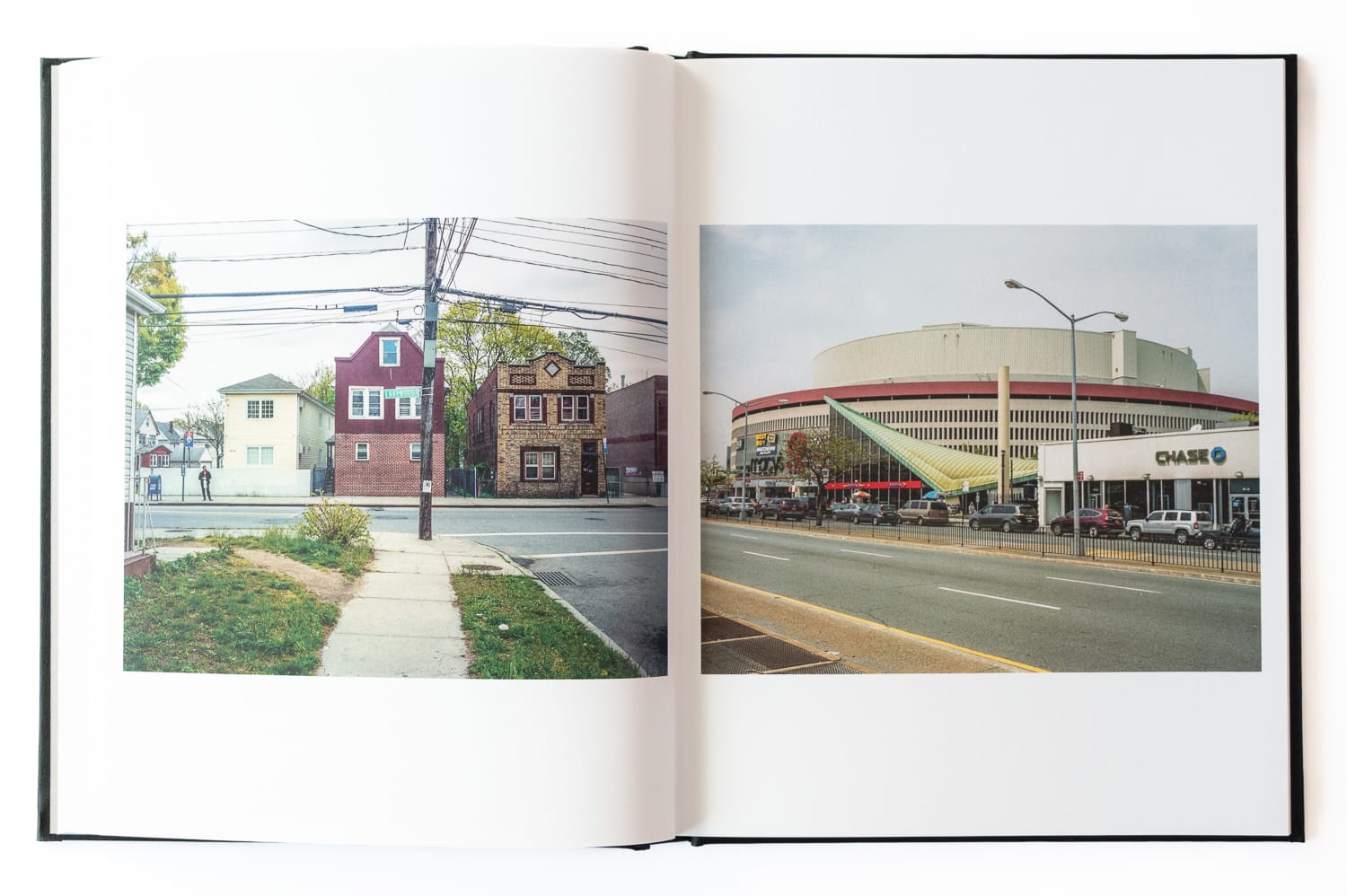
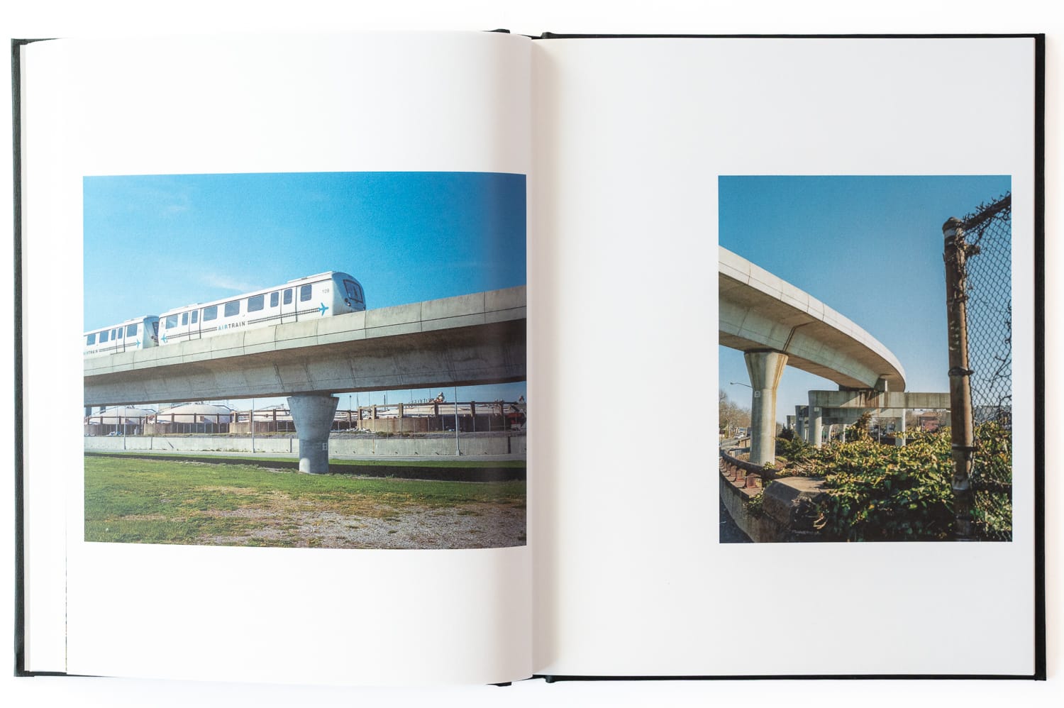
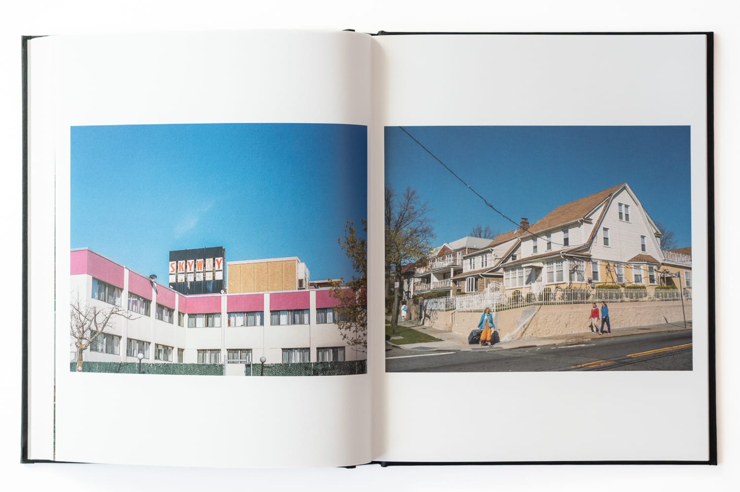
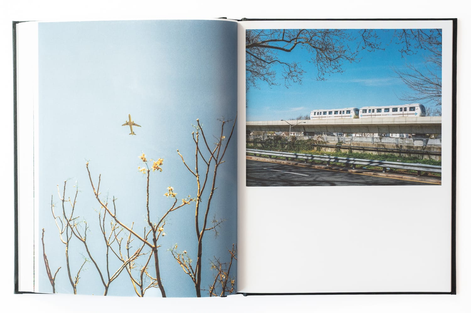
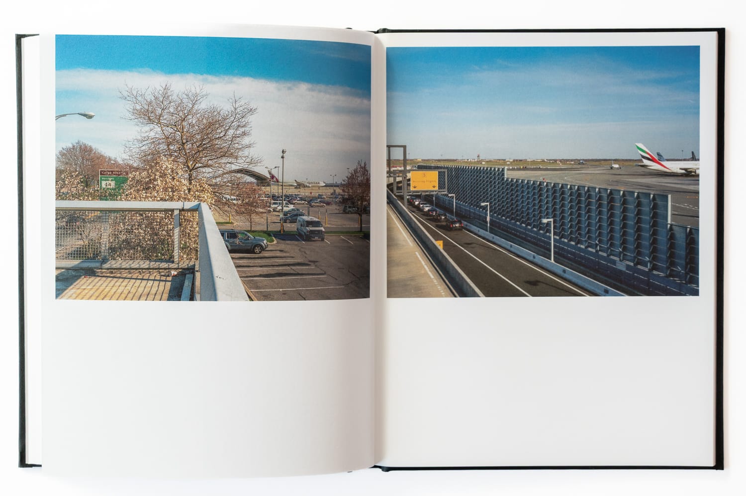
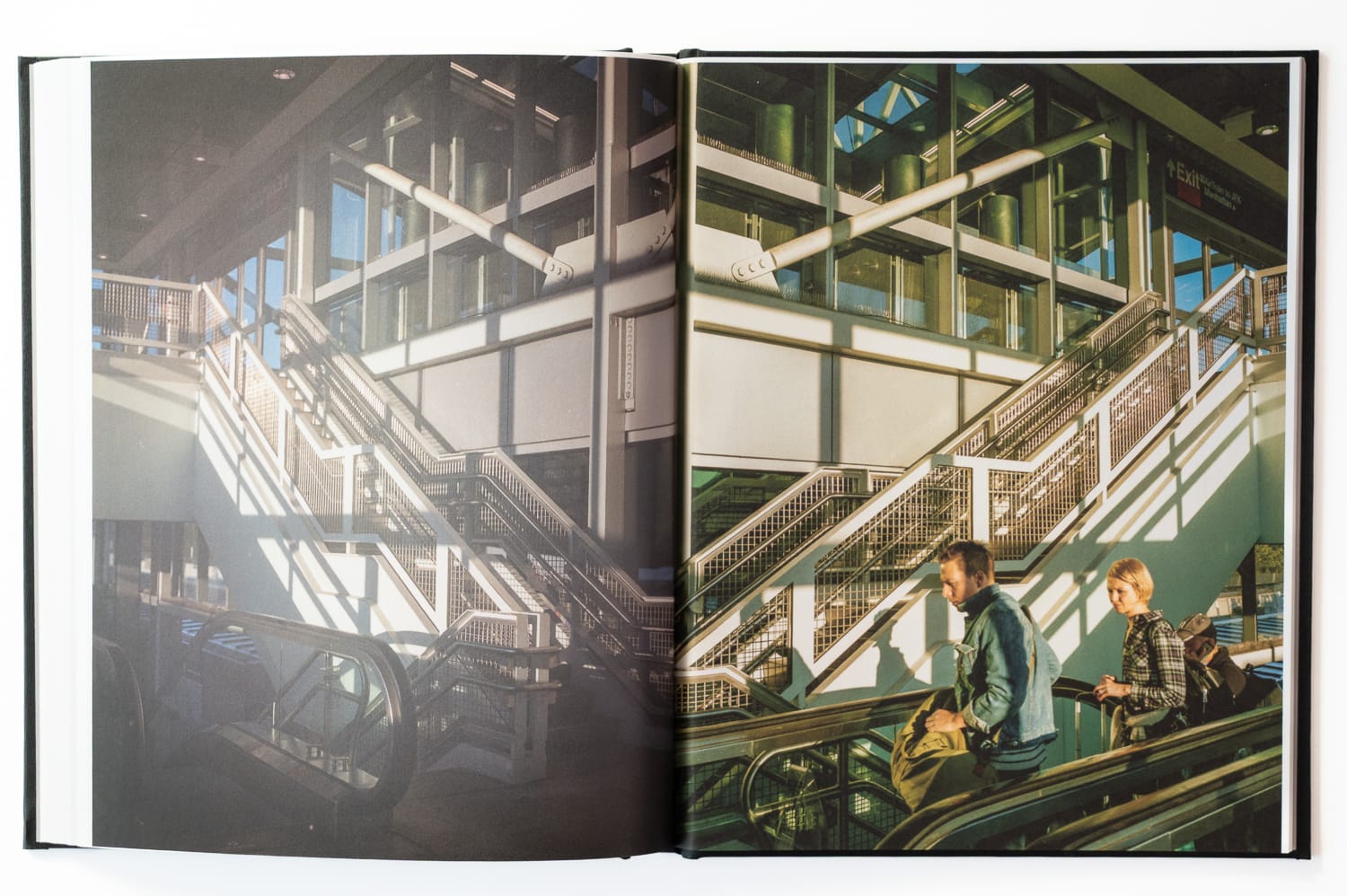
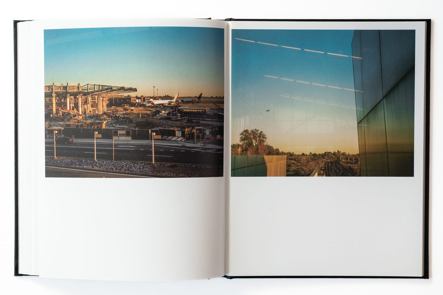
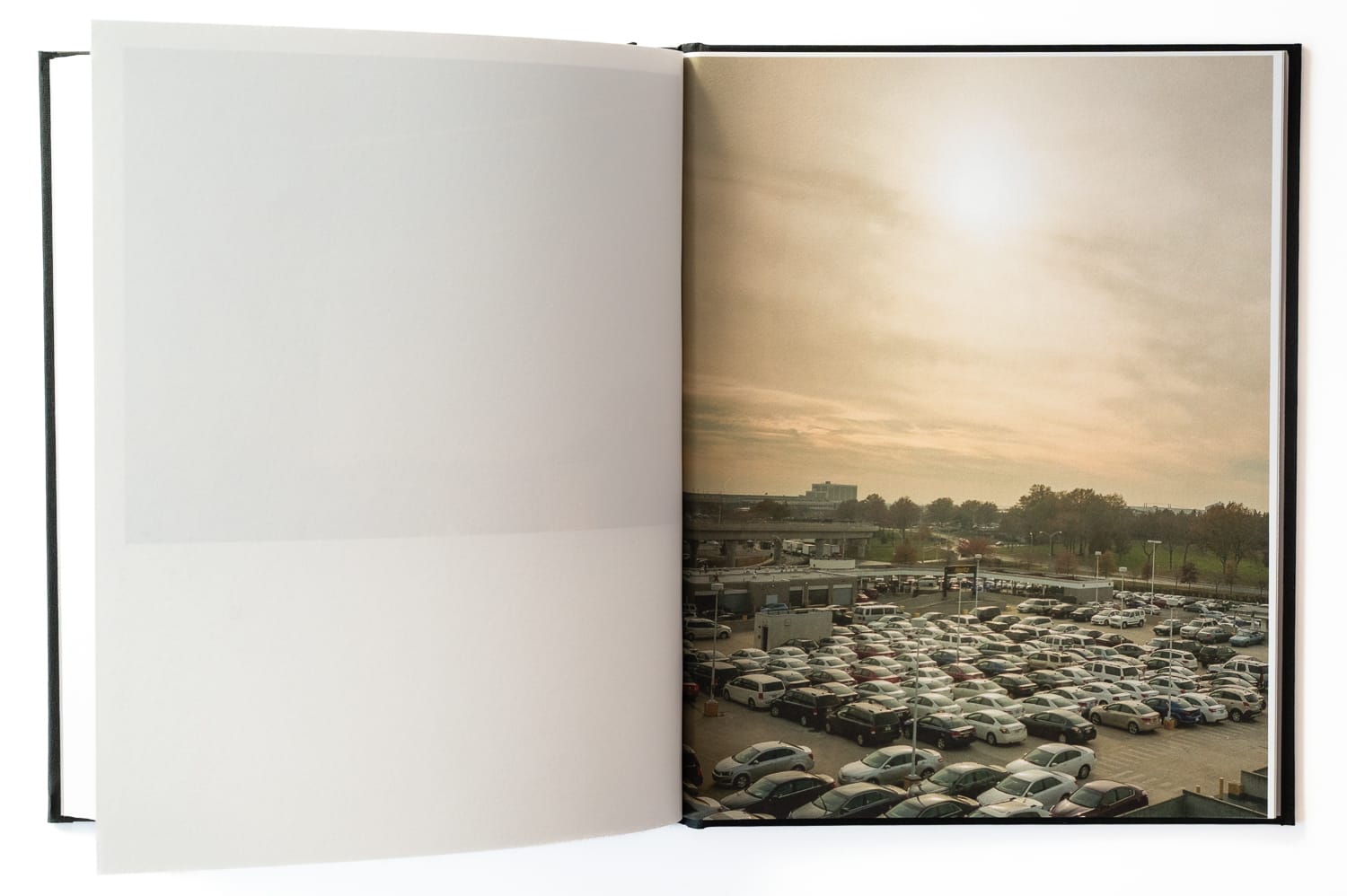
Point A to Point B was the structure I had been missing. The project would become whatever I discovered in between. The walks took place over 2013 and 2014, navigating the pedestrian routes that cross the landscape between the two airports, through infrastructure corridors, residential neighborhoods, the southern edges of Flushing Meadows, and the Air Train approach to JFK. Airports organize the territory around them at a scale that exceeds their footprint.
Tracing these routes on foot allowed me to document that structural layout from the pavement up, observing where massive infrastructure intersects with the neighborhoods and green spaces that have long lived in its shadow.
The first structured walk
This was my first dedicated approach to a walk. It was not yet clean. I let ideas in along the way, and it lacked the strict ordering of the projects that followed, the counted walks, the fixed sequences. But it was the beginning of that method.
Over the years I have edited the project many times and built a few different book dummies. Only now do I feel I have captured in the edit an atmosphere I was feeling while I made the walks.
Of all the transit work I have created in New York, this is the only book that attempts to incorporate air travel. That is part of what sets it apart from the other volumes focusing on the geography of transit infrastructure.
Skyway spawned several other projects, and really, from that point forward they all became interconnected in a manner that began to give form to my current approach of working on multiple volumes.
View all of the book spreads here.
Selected Spreads
I’m a photographer based in Minneapolis working on long-duration projects centered on walking, cities, and public space. This newsletter shares periodic dispatches from that work, along with selected images and related references. Selected work also appears on Instagram.