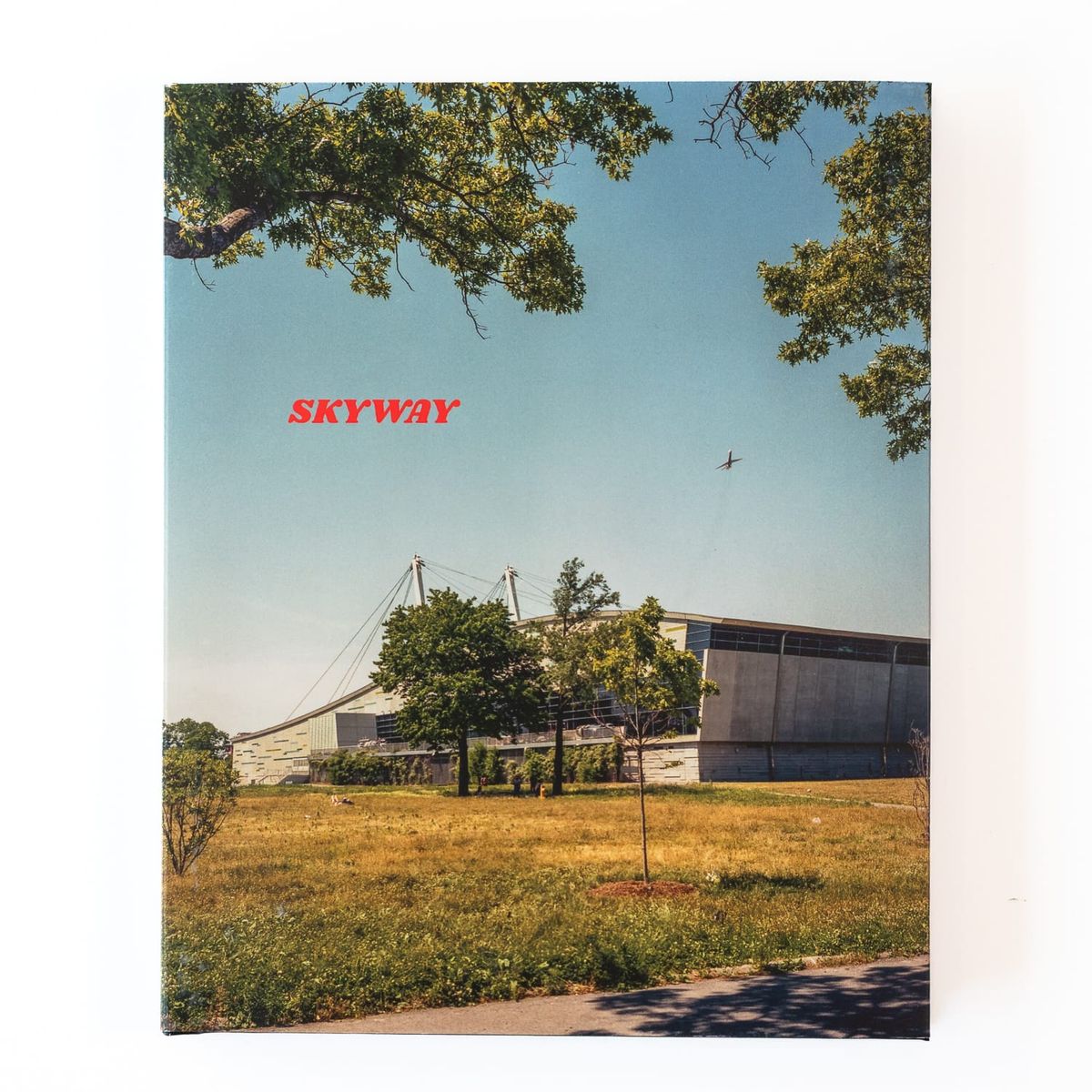
Skyway
Statement
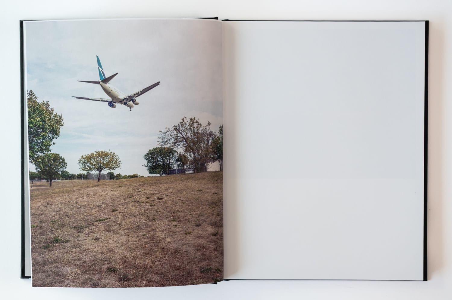
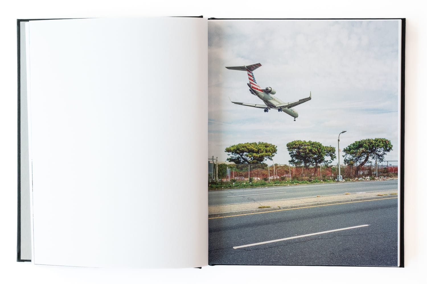
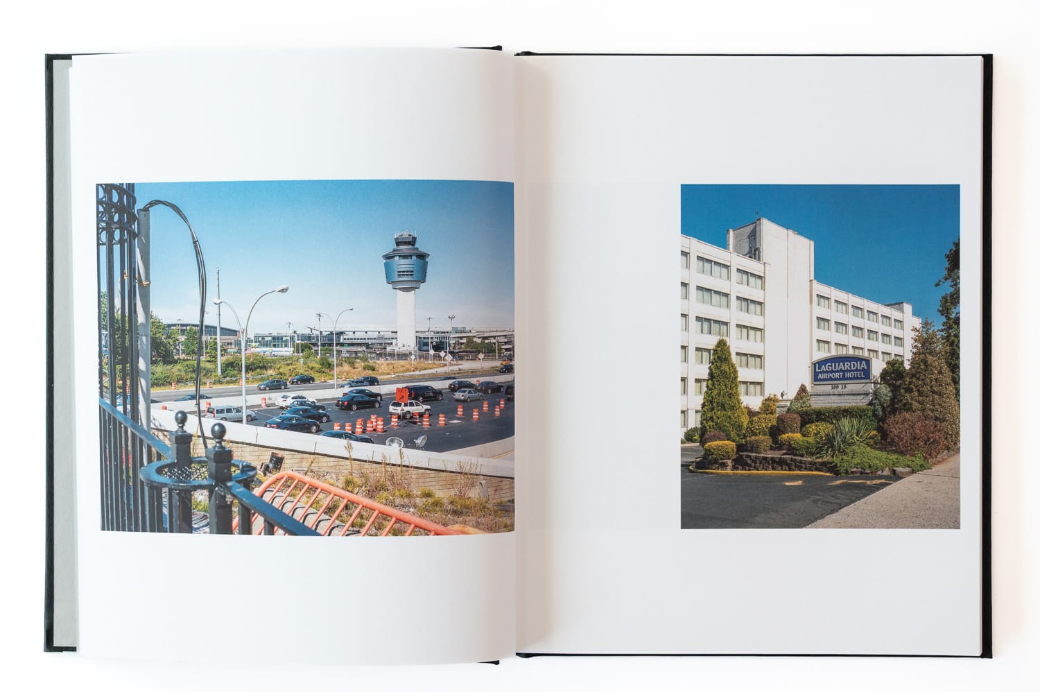
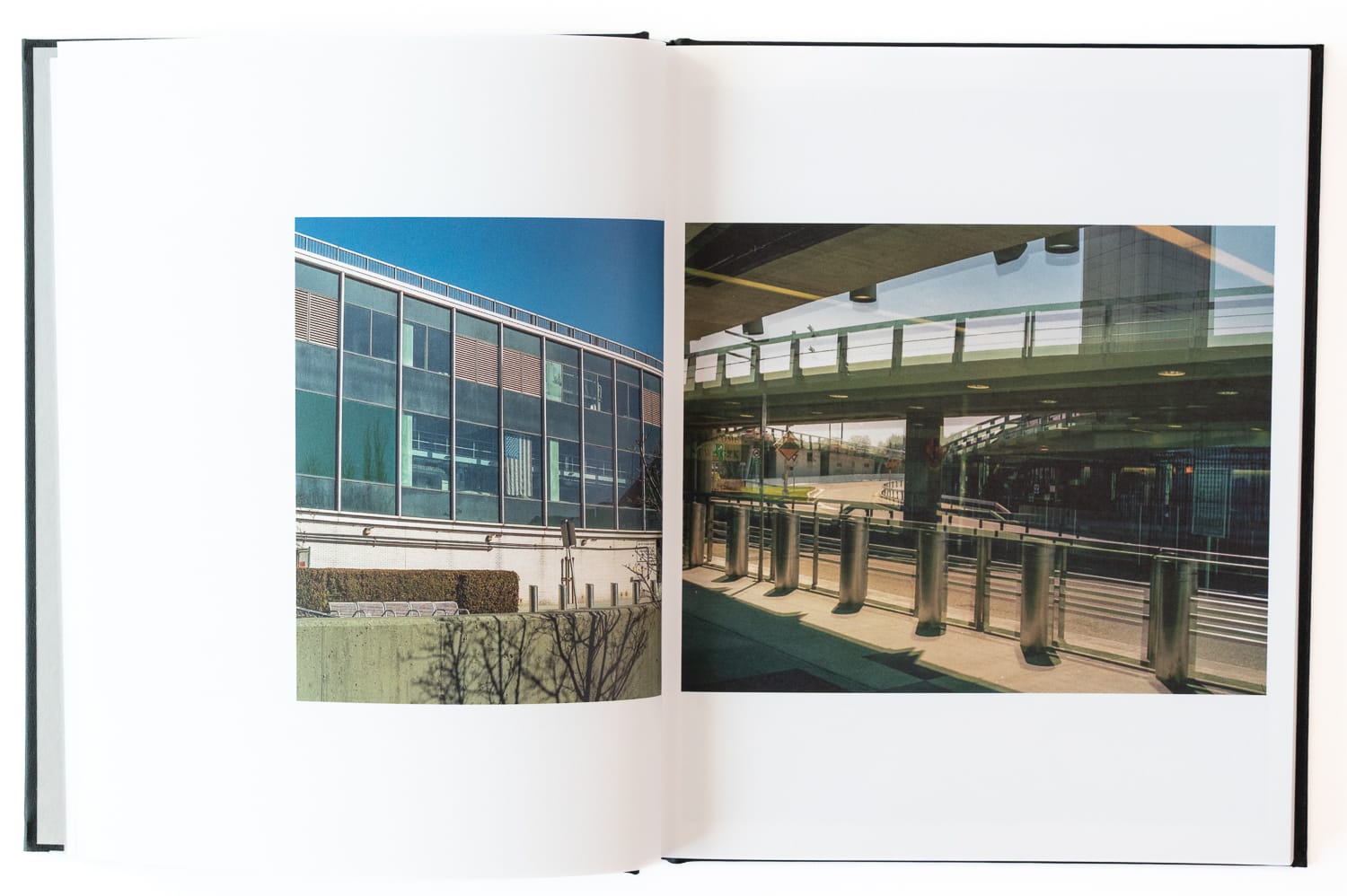
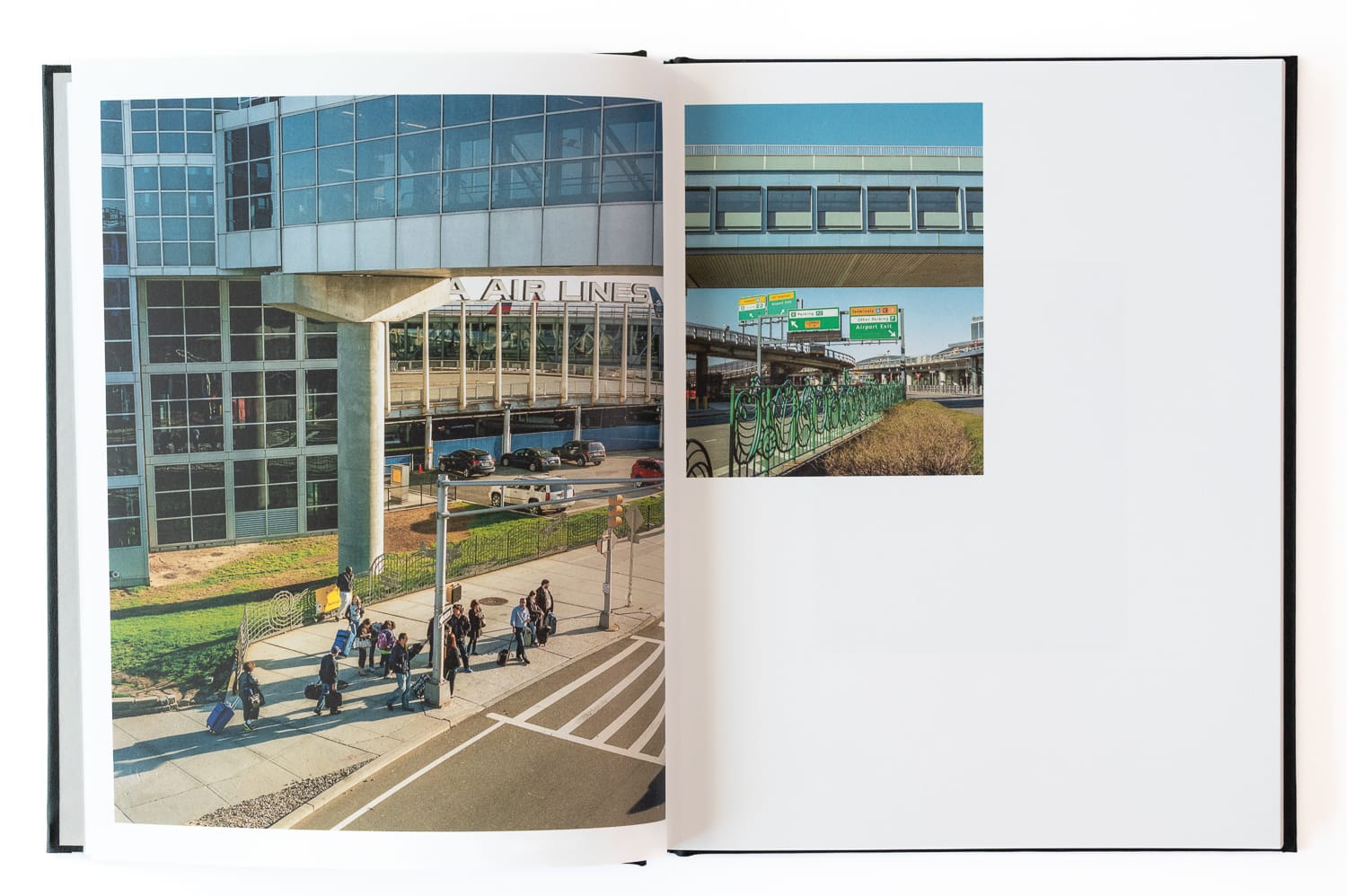
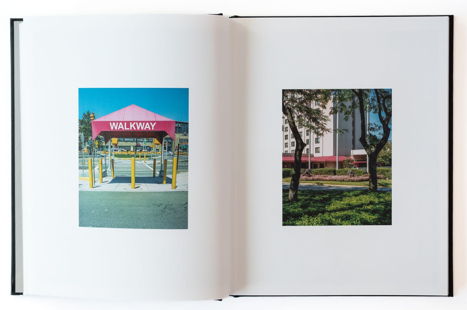
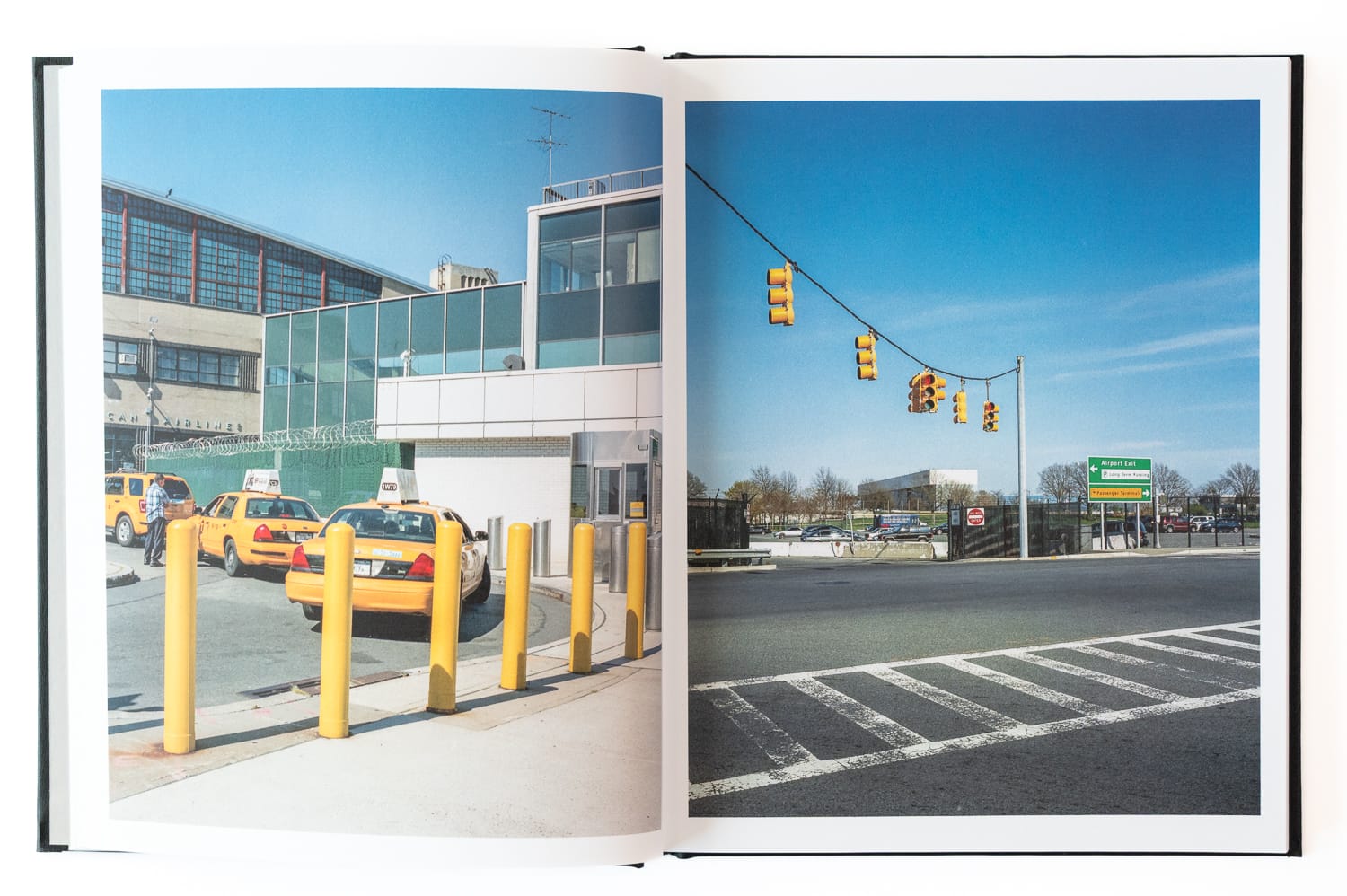
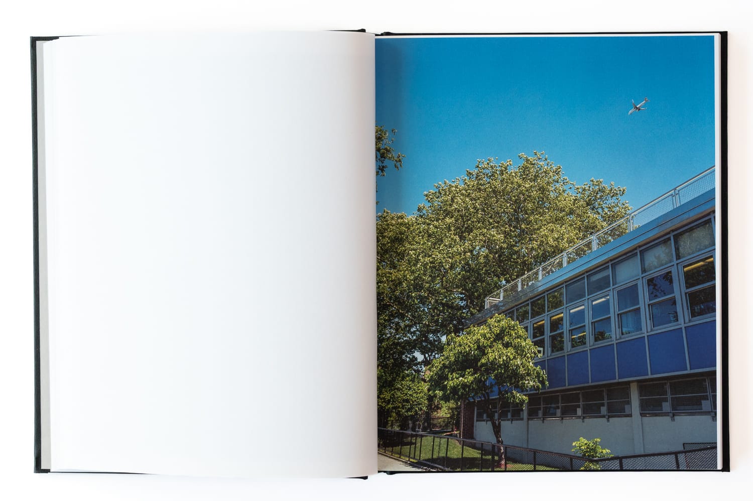
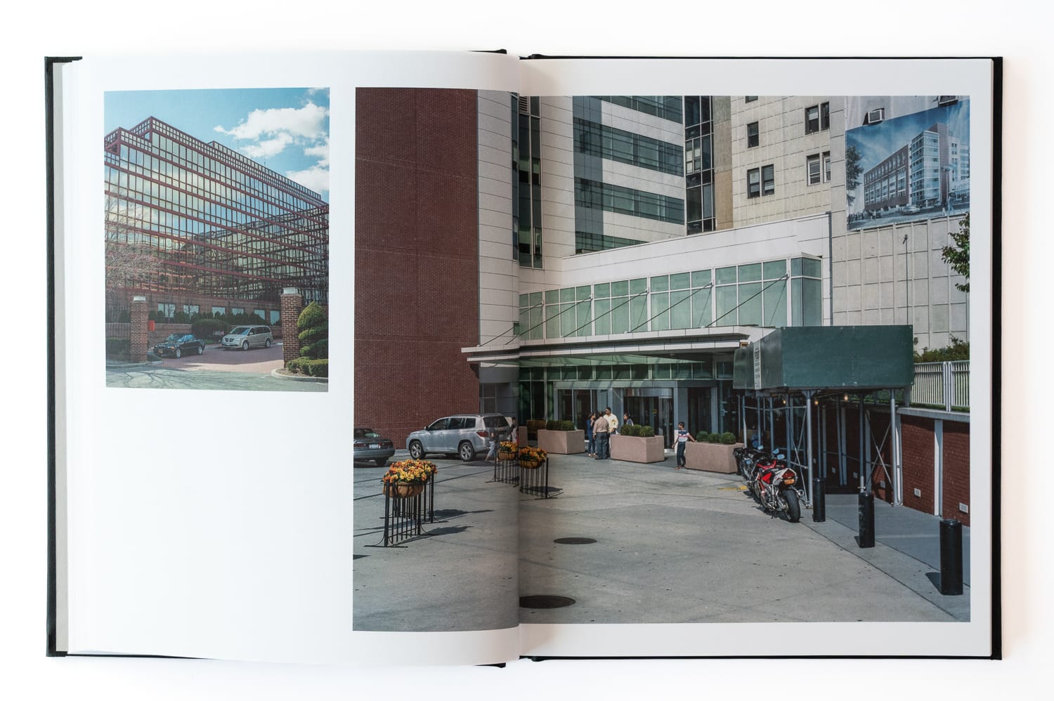
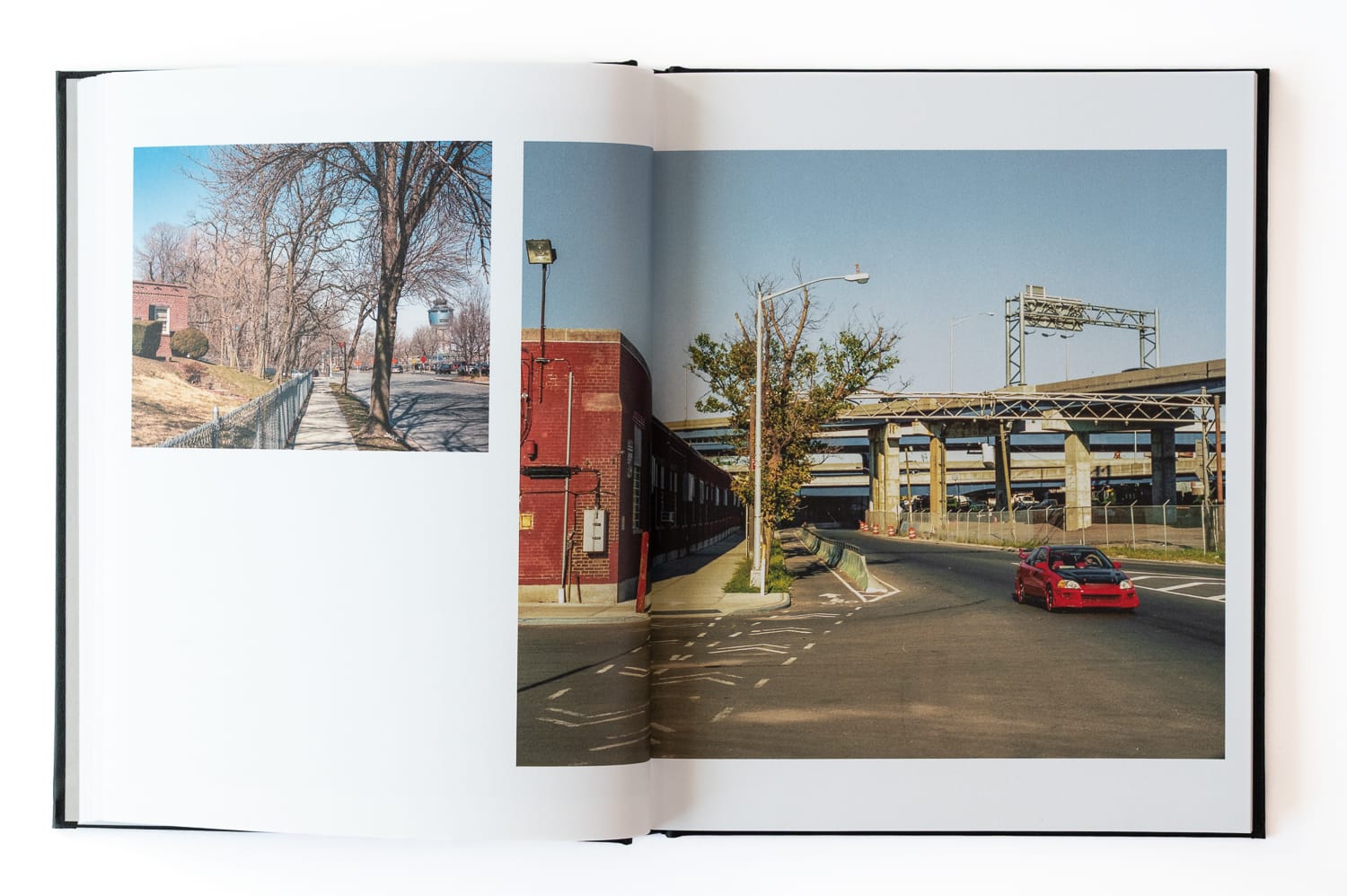
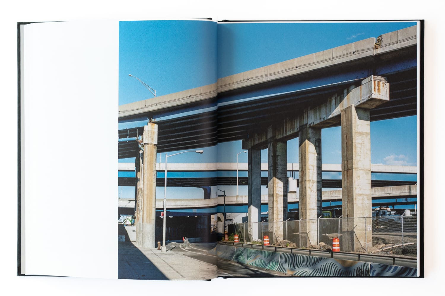
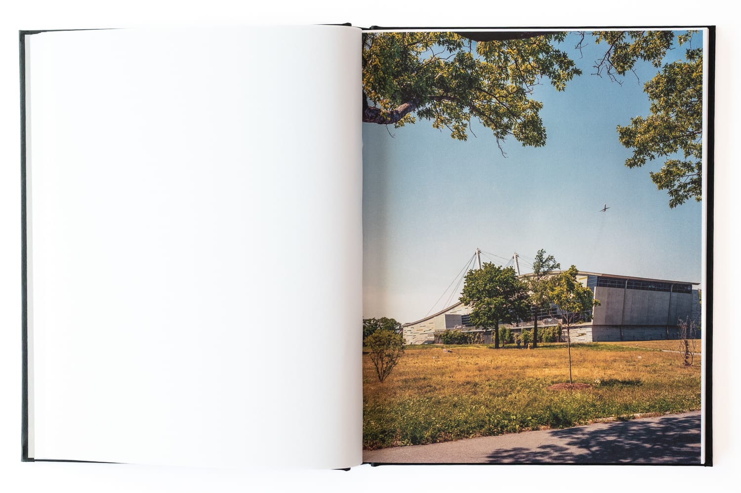
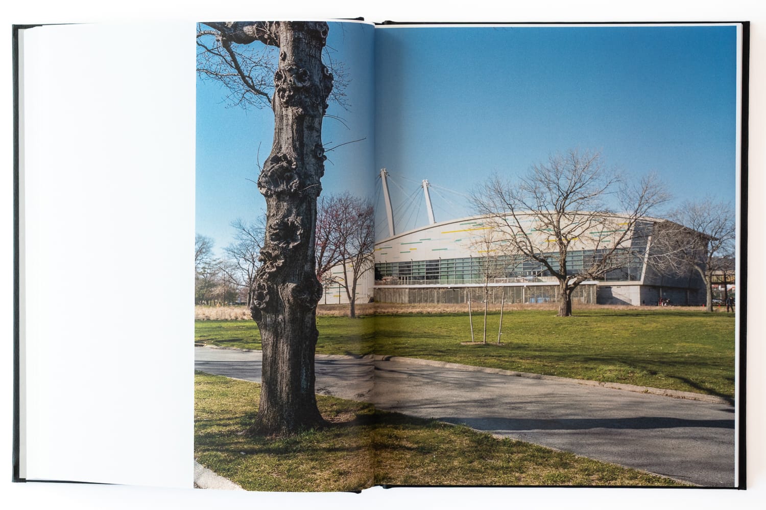
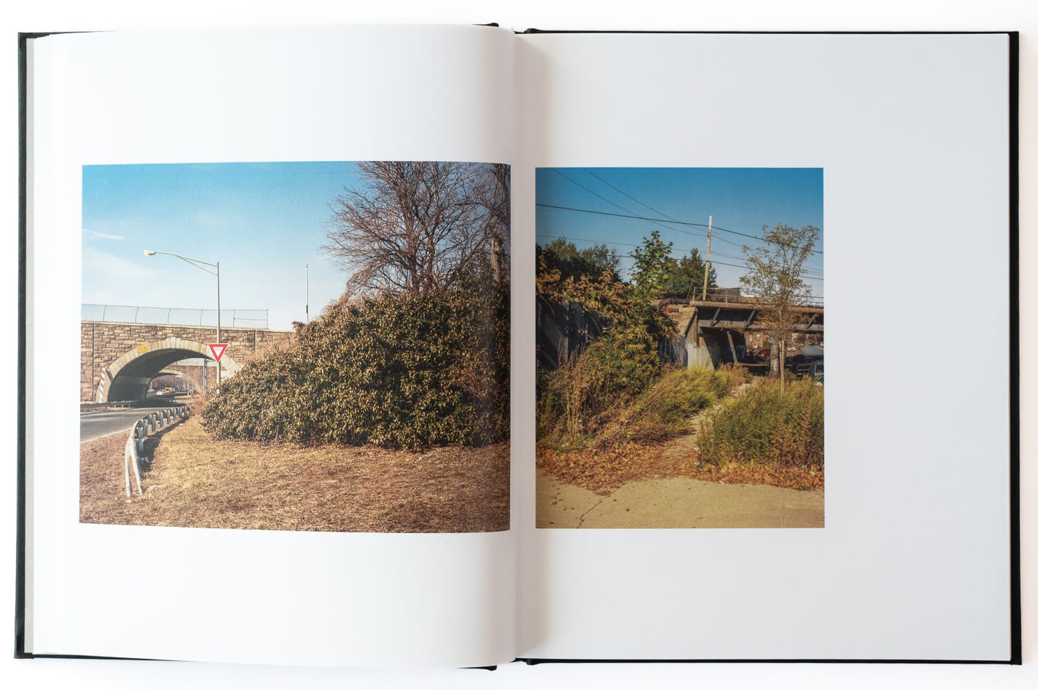
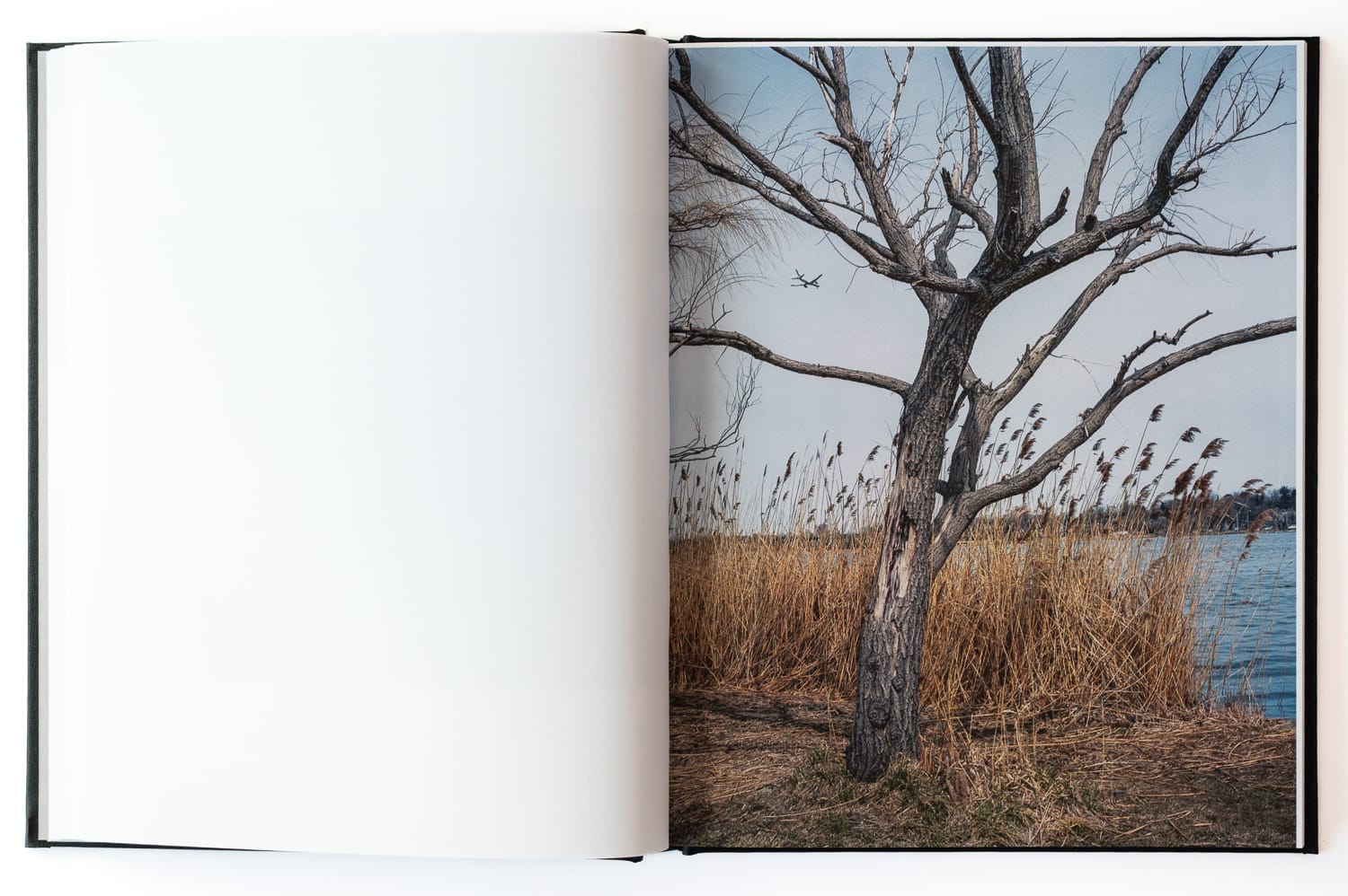
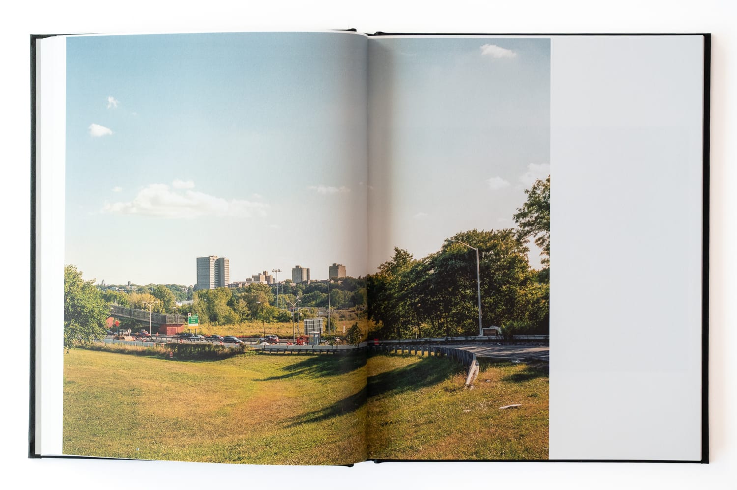
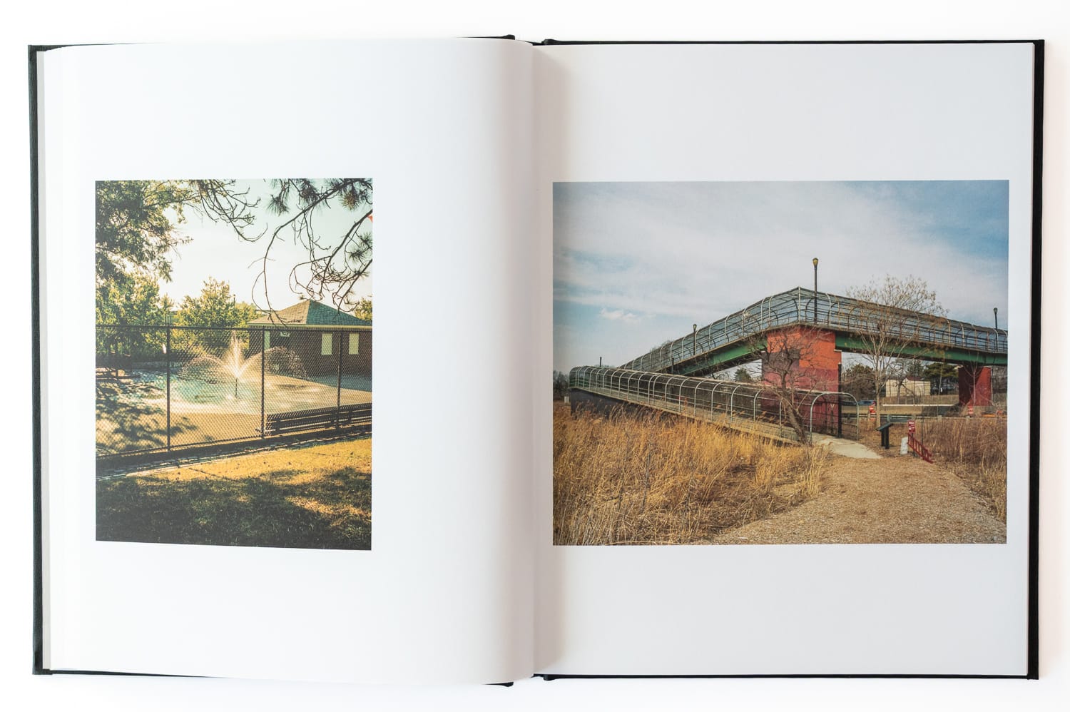
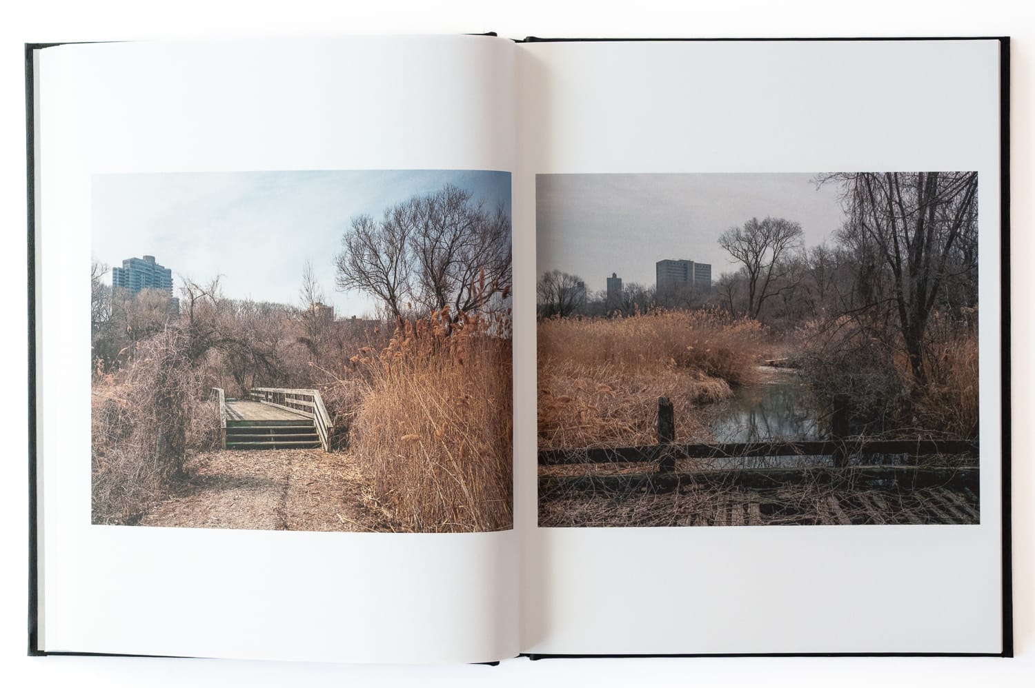
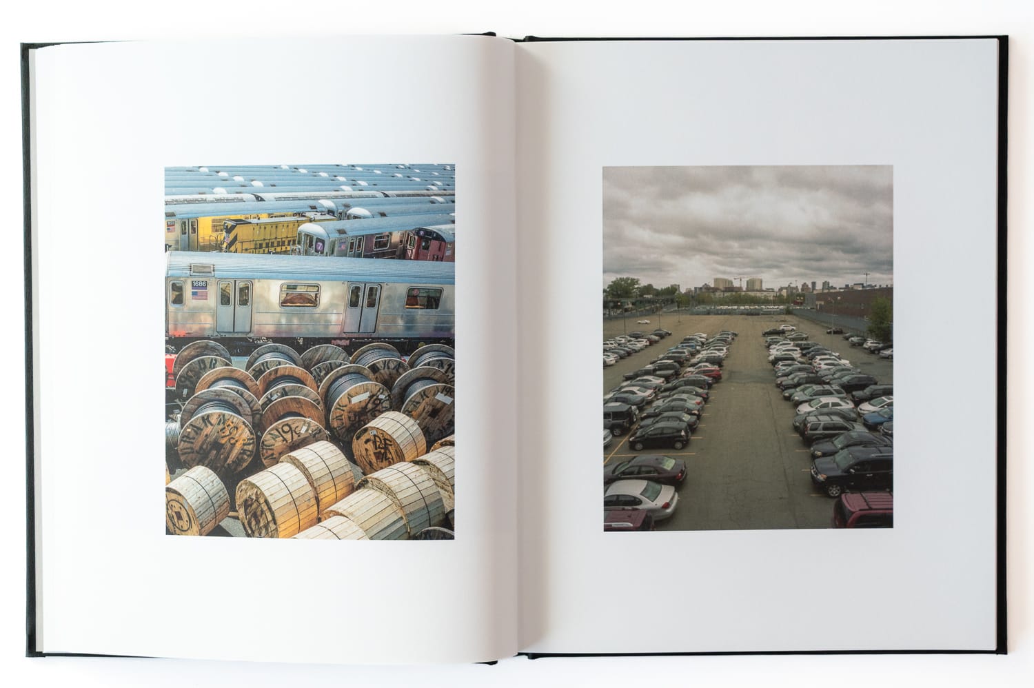
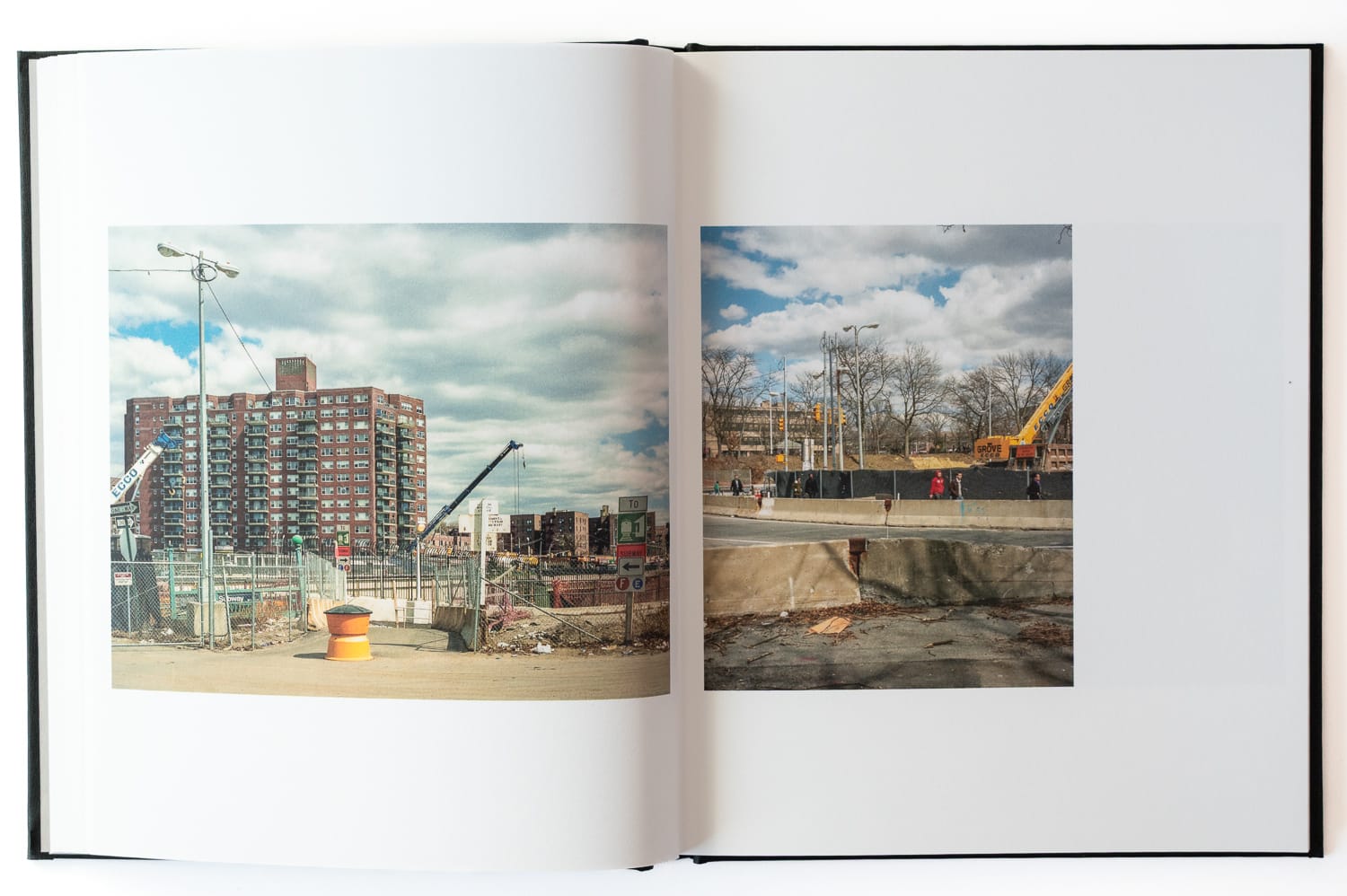
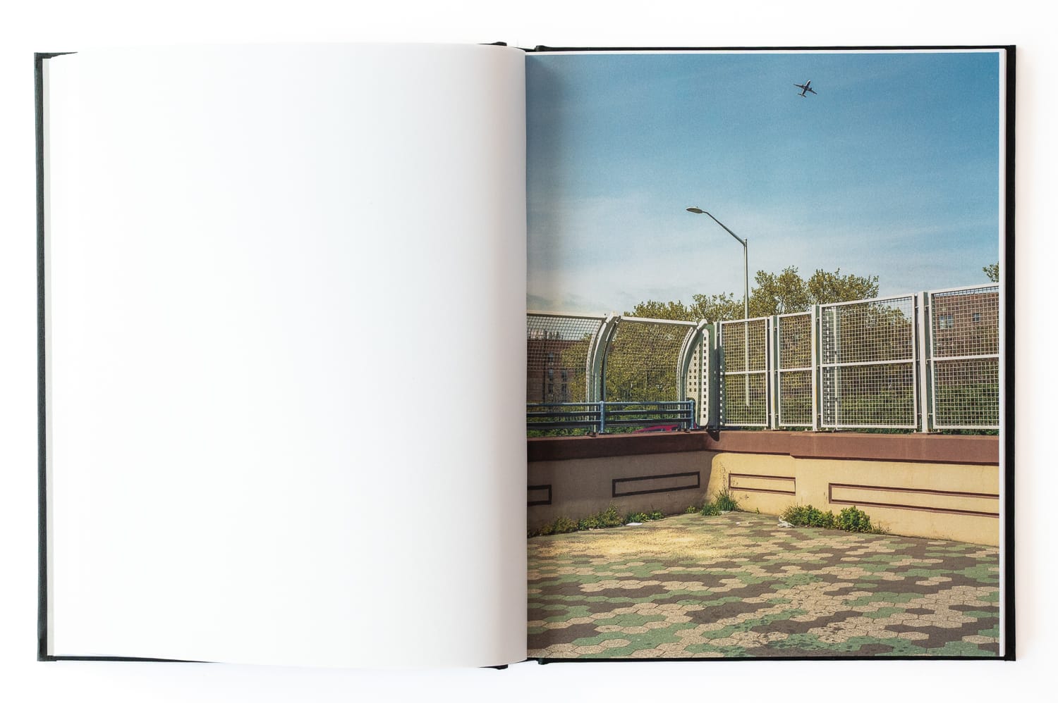
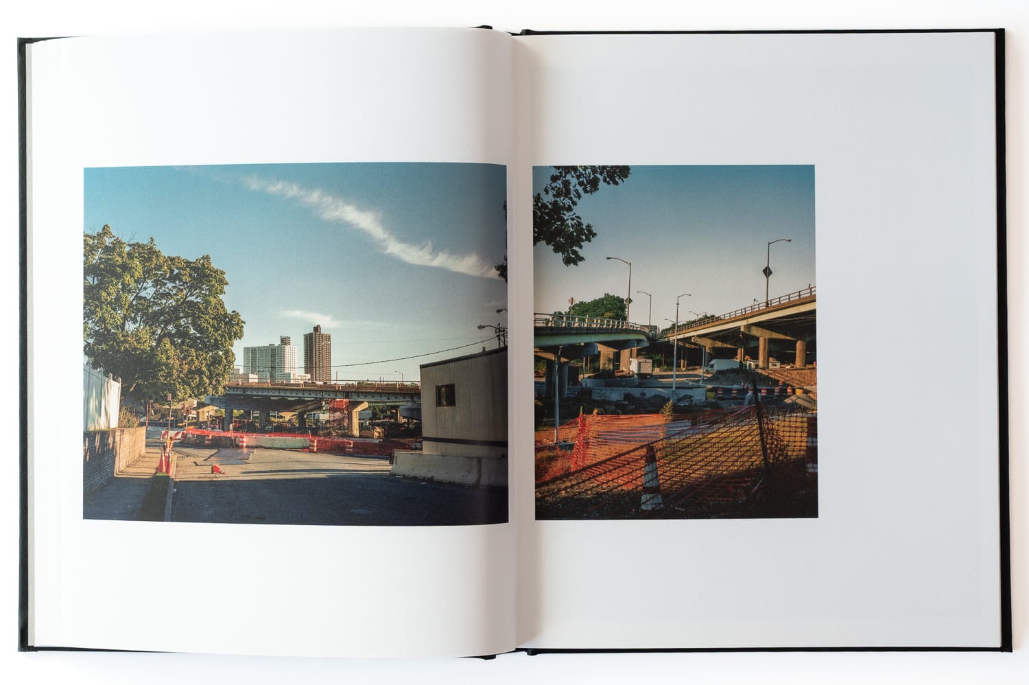
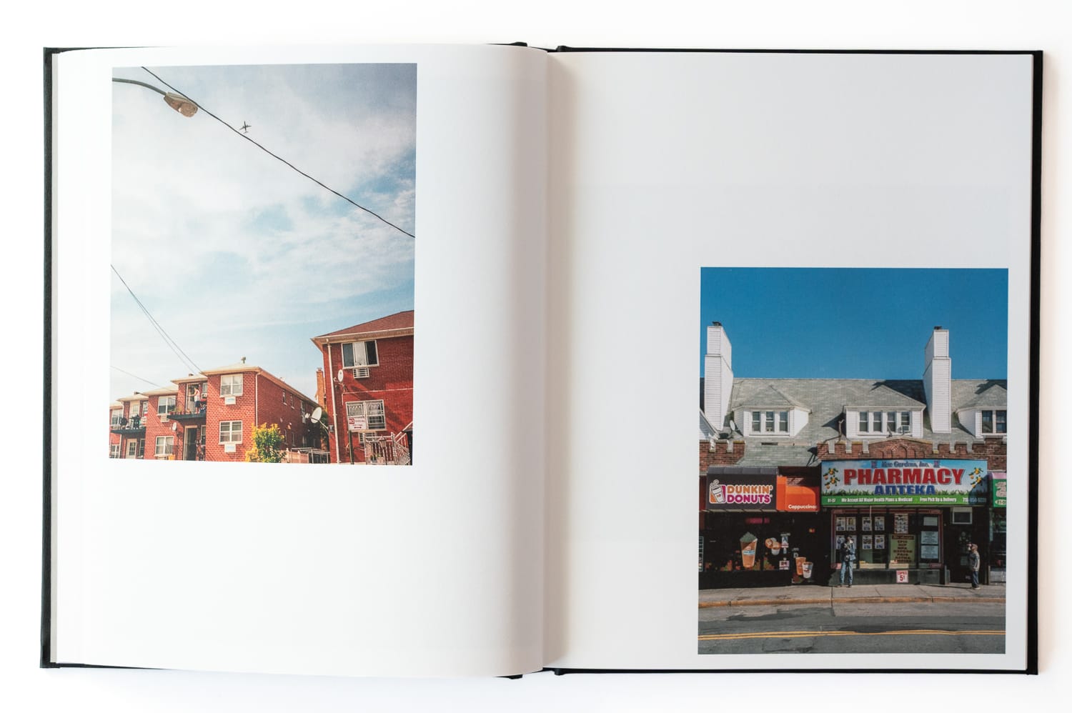
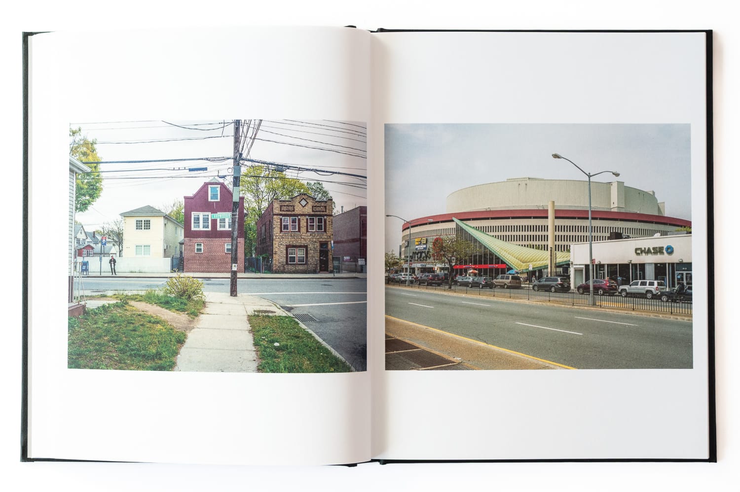
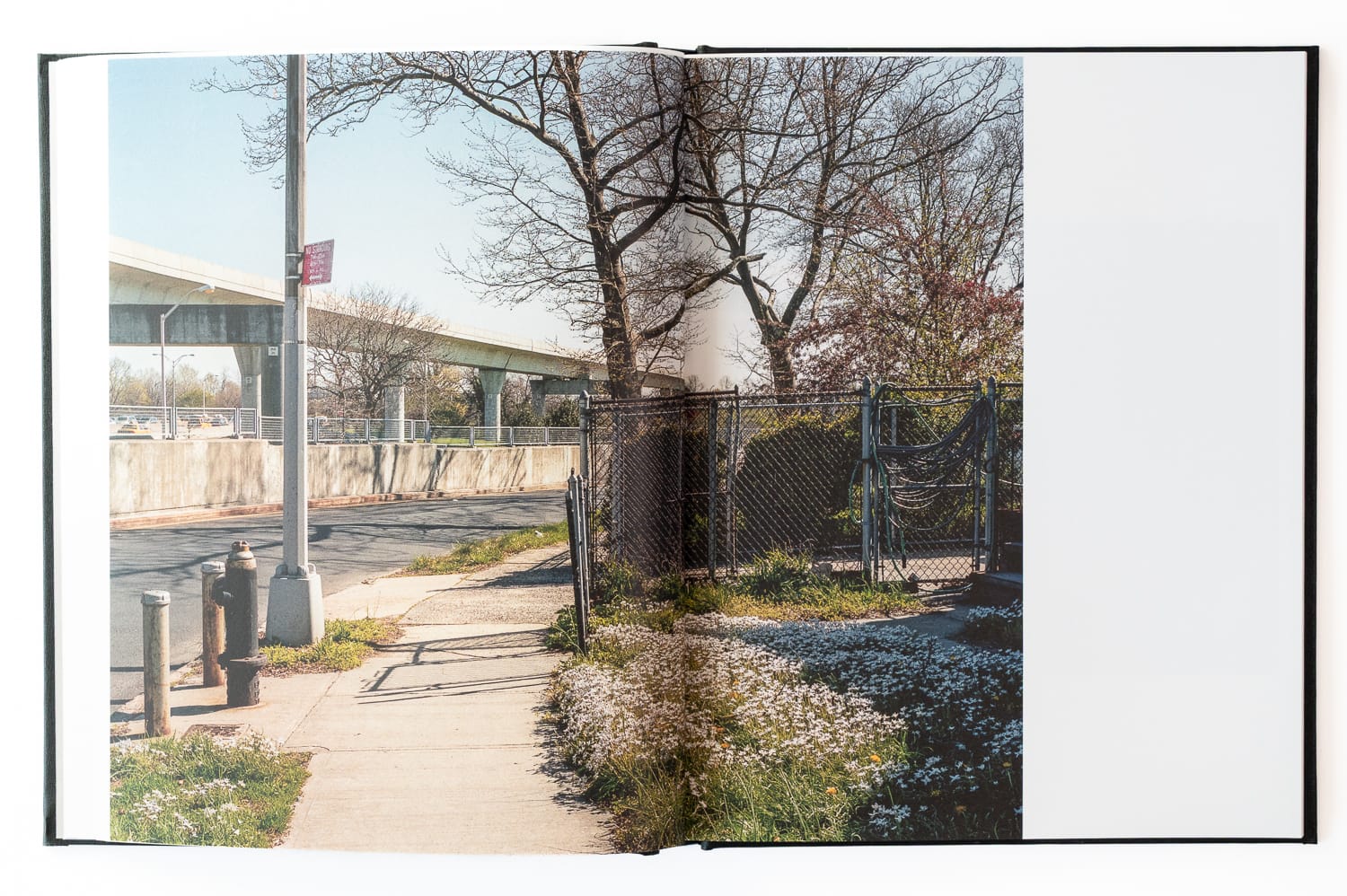
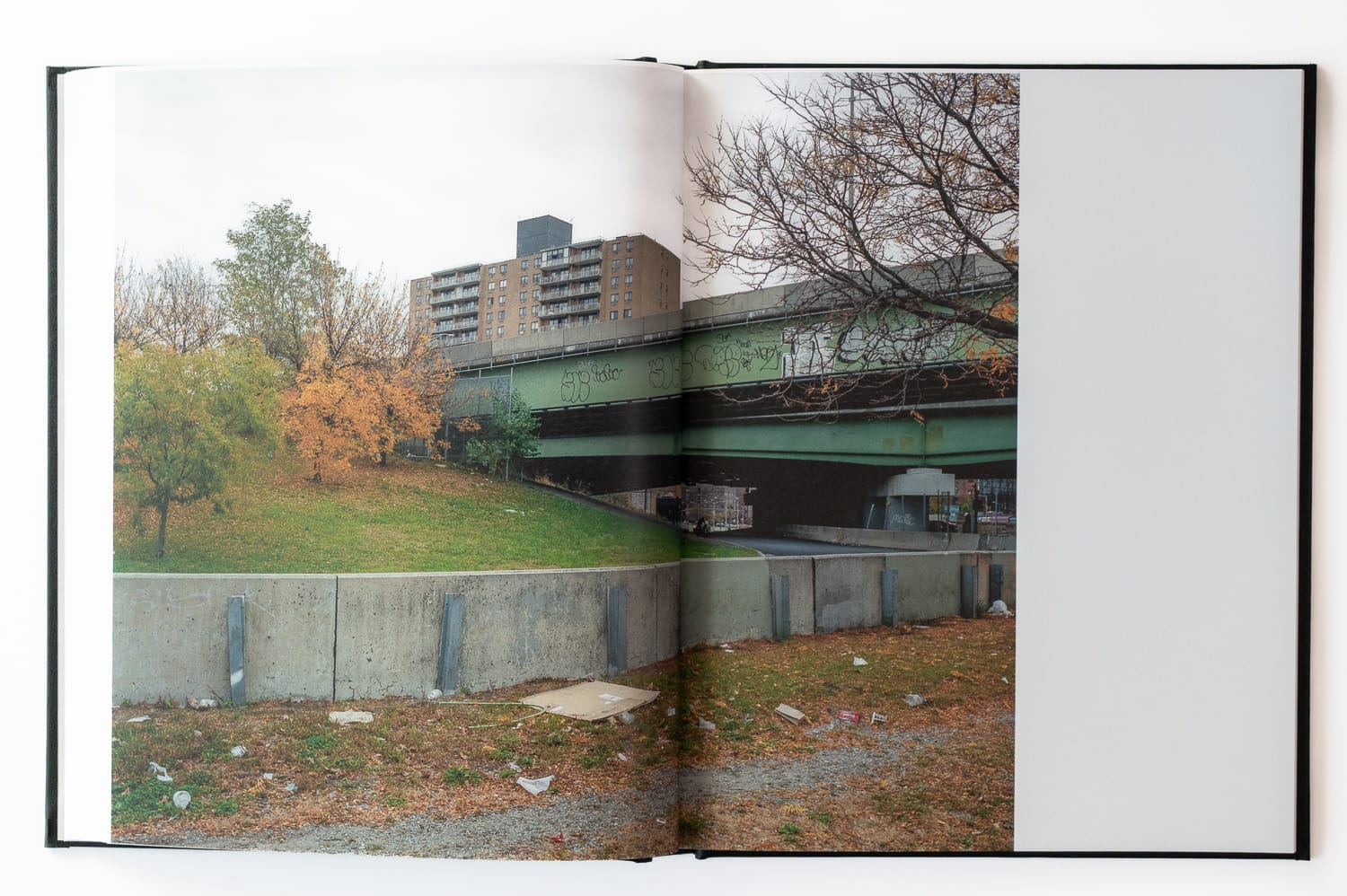
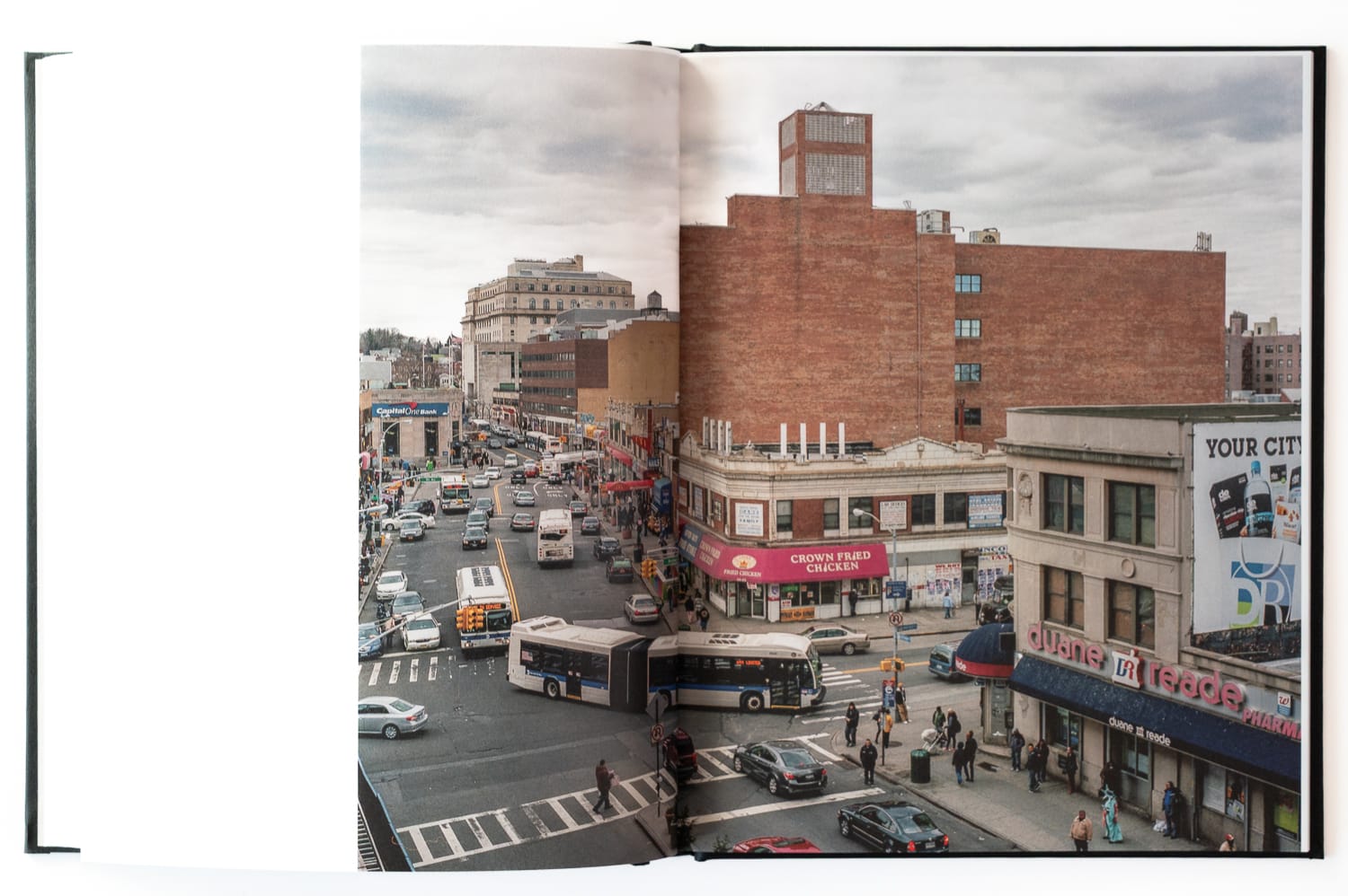
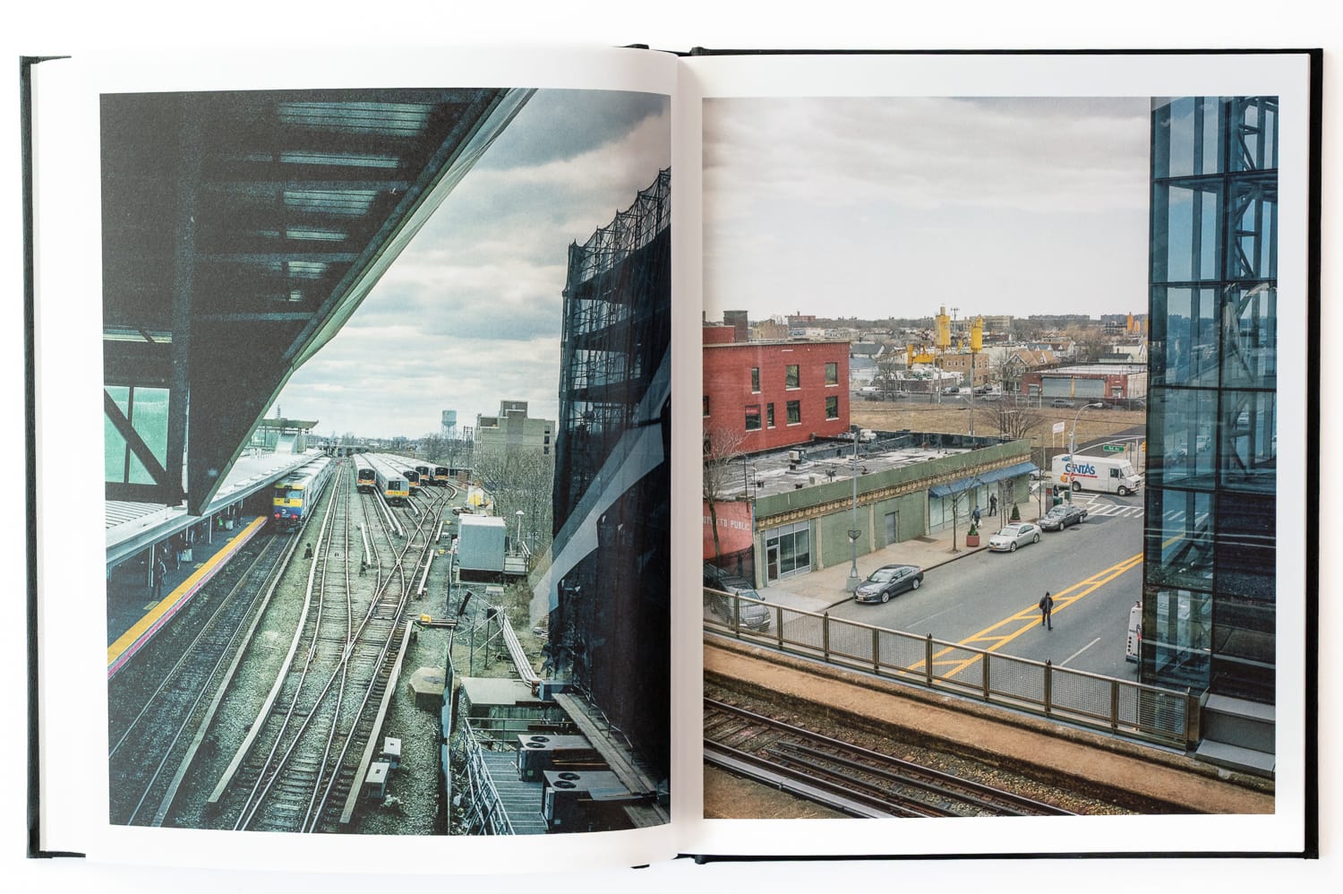
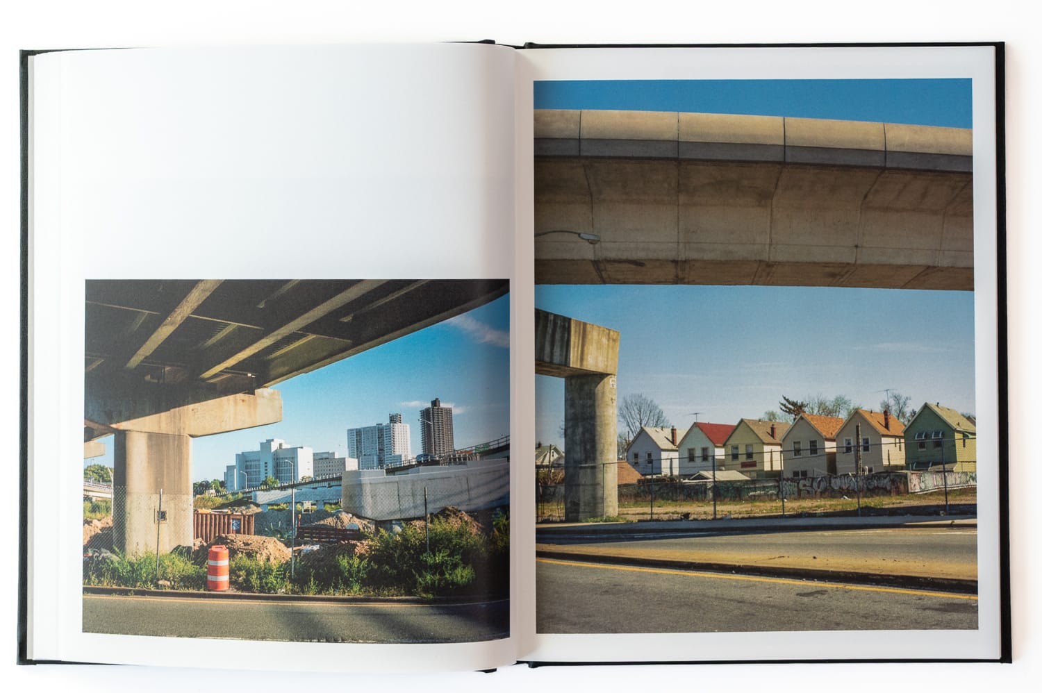
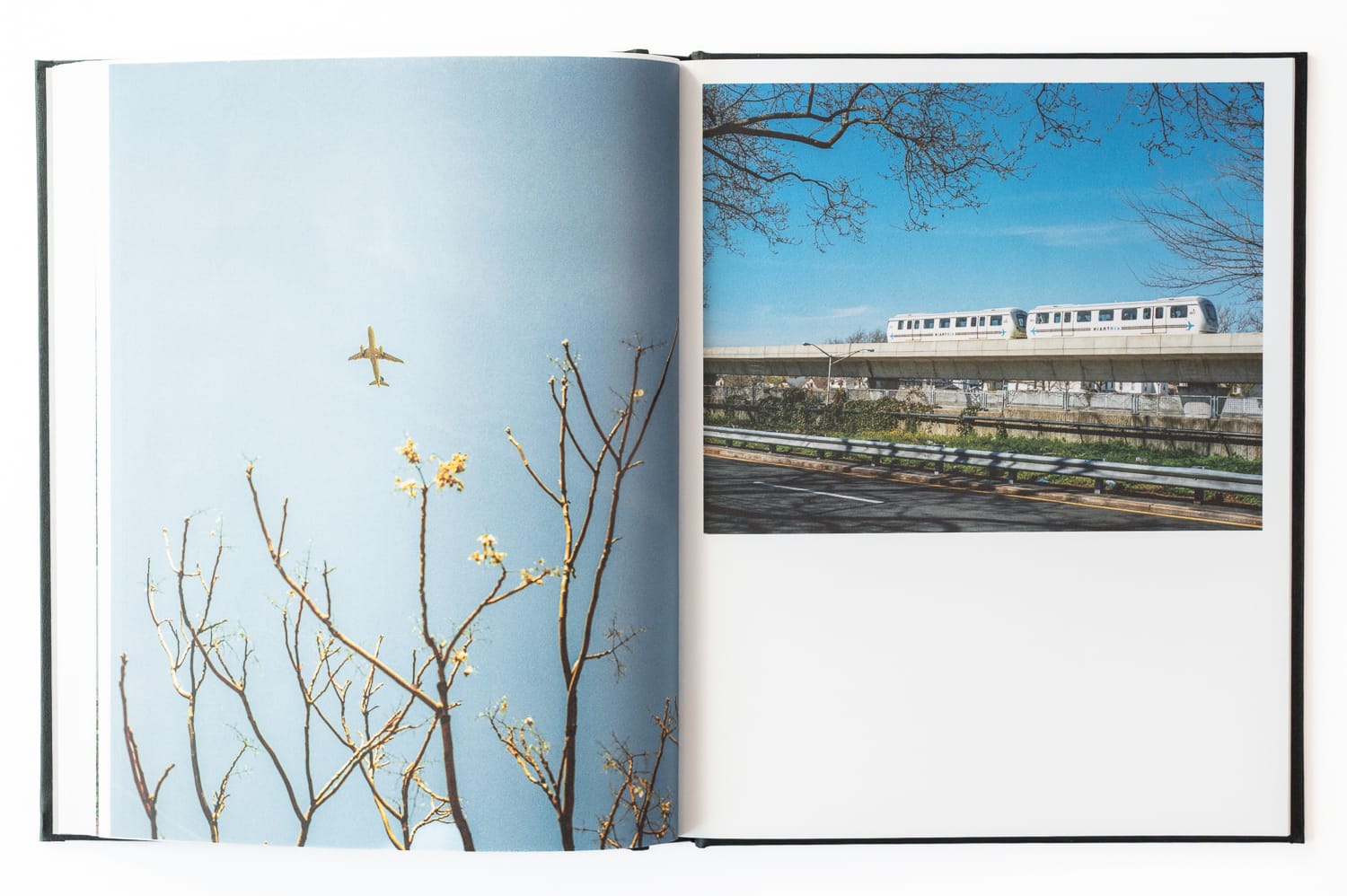
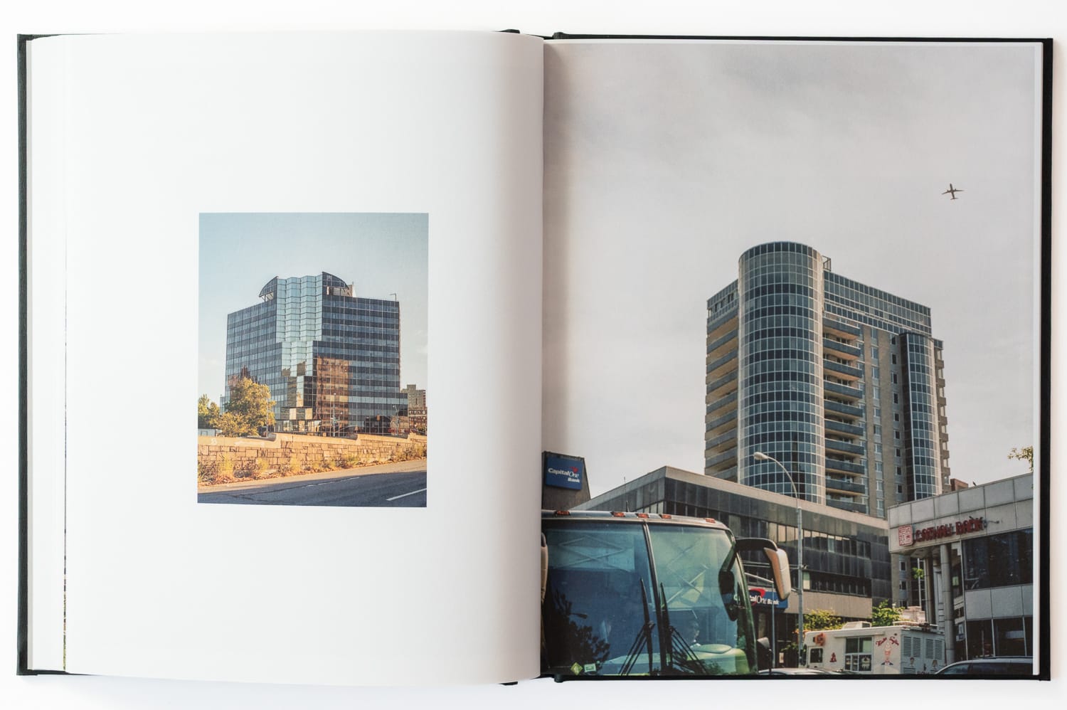
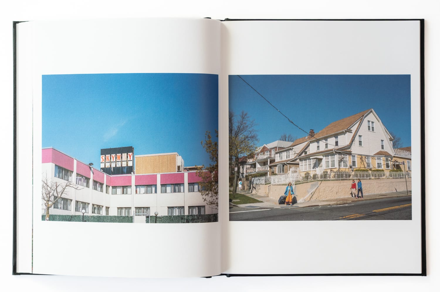
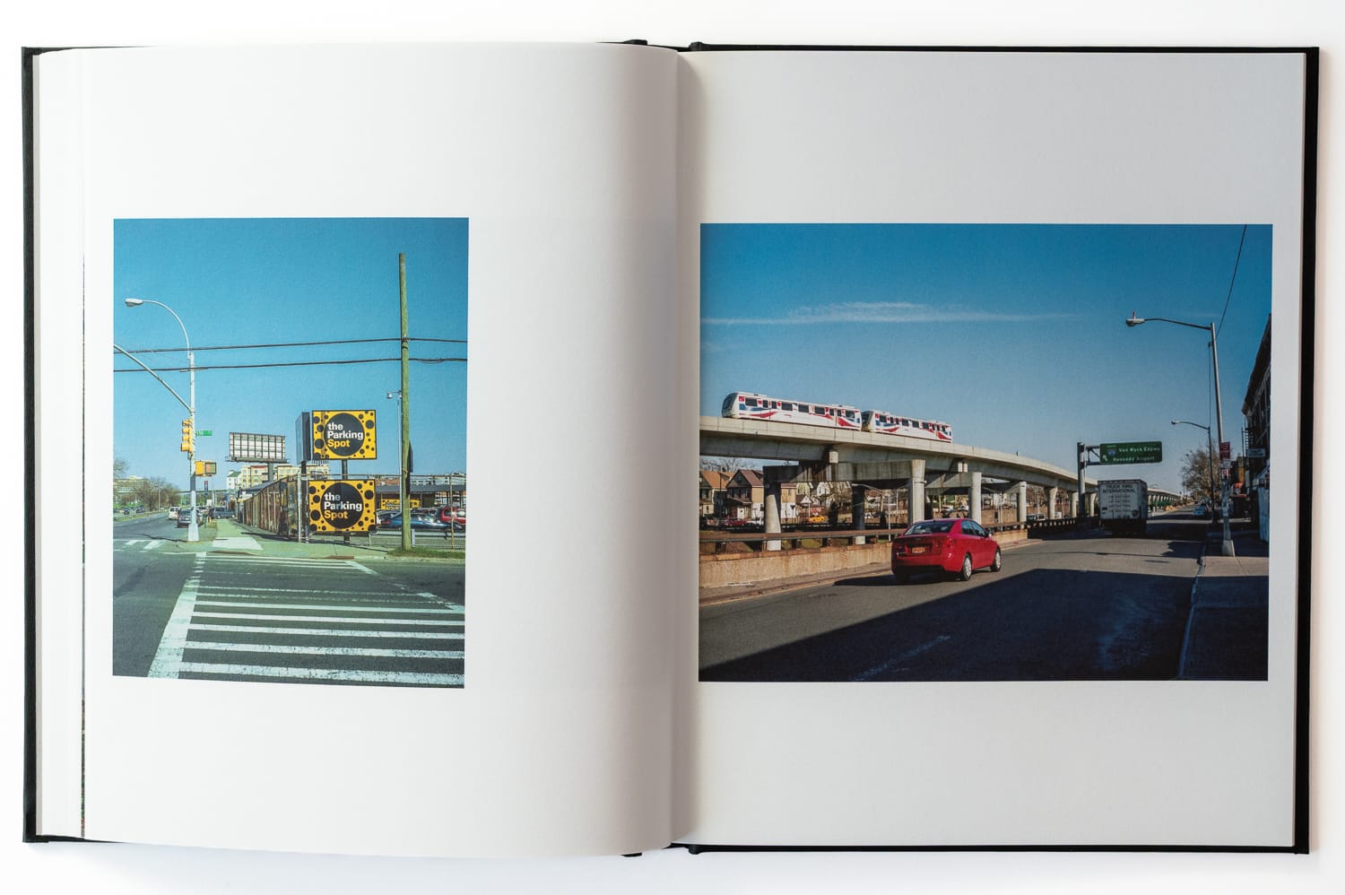
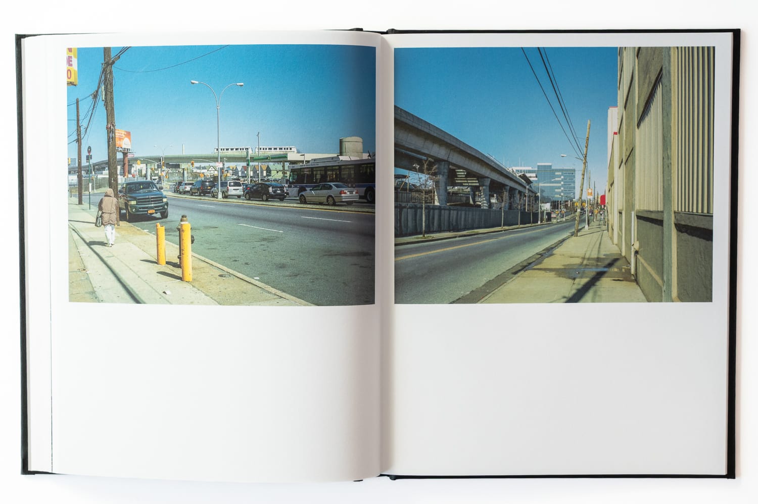
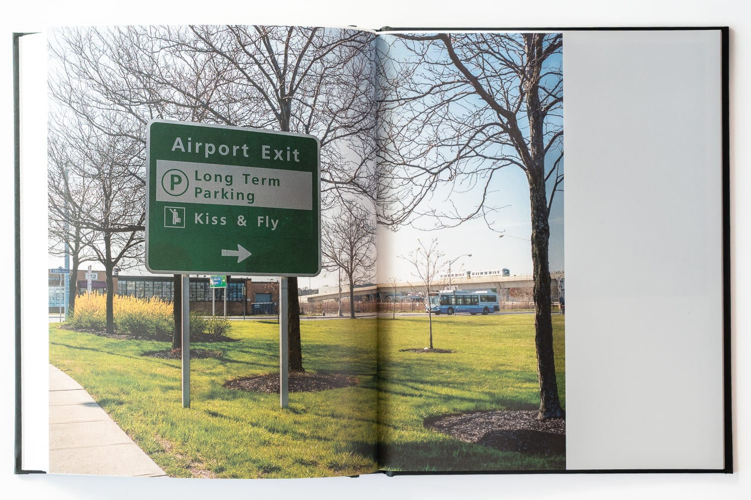
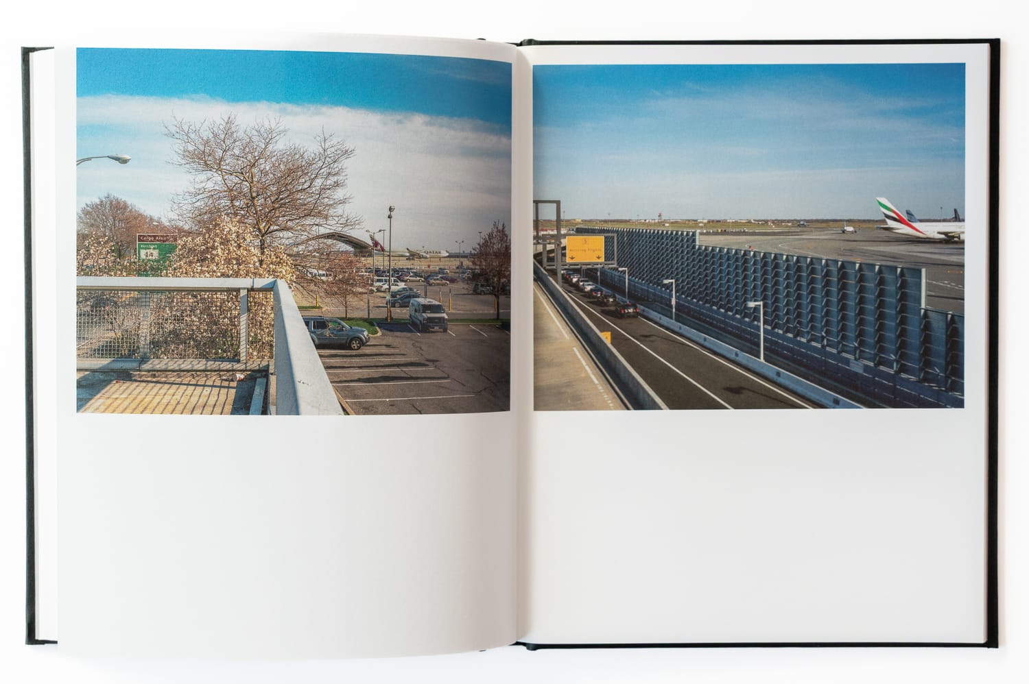
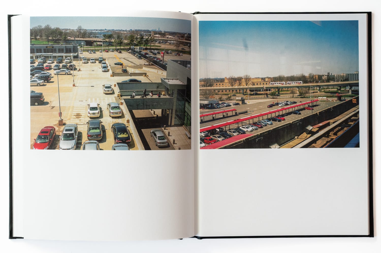
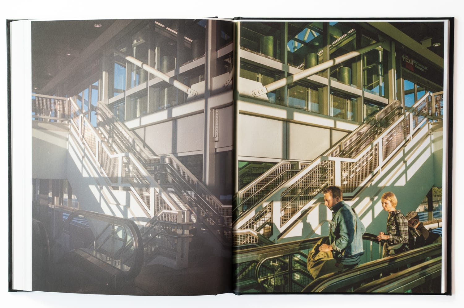
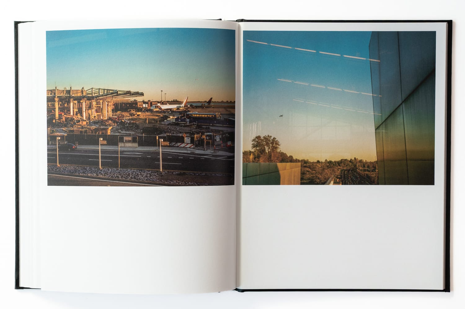
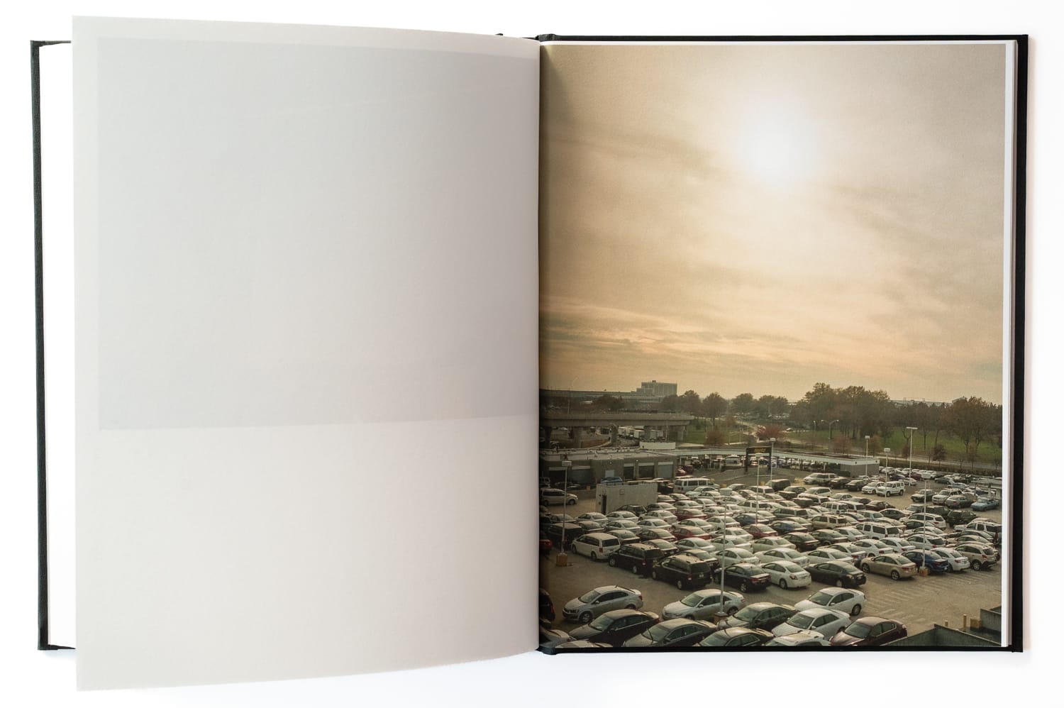
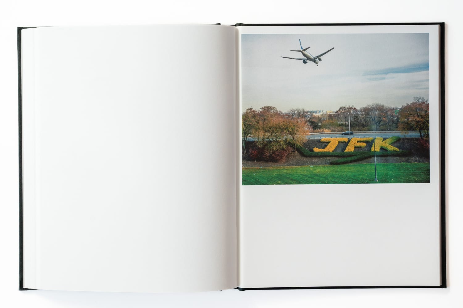
Western Queens contains two of the largest airports in the United States within a few miles of each other. Flight traffic is a constant of daily life there, woven into the rhythm of the neighborhoods below. Skyway began with a simple premise: it is not possible to fly between LaGuardia and JFK, but it is possible to walk between them.
The premise gave me a structure I had not worked with before, a point A and a point B, and a project that became whatever I found in the territory between them. The walks took place over 2013 and 2014, navigating the pedestrian routes that cross the landscape between the two airports, through infrastructure corridors, residential neighborhoods, the southern edges of Flushing Meadows, and the Air Train approach to JFK. Airports organize the territory around them at a scale that exceeds their footprint. Walking offered a way to register that organization at ground level, where the systems meet the streets, parks, and houses that have absorbed their presence over decades.


I’m a photographer based in Minneapolis working on long-duration projects centered on walking, cities, and public space. This newsletter shares periodic dispatches from that work, along with selected images and related references. Selected work also appears on Instagram.