Books: 7 Train & Queens Giant + New MPLS Essays

Over the last few months, I’ve found myself winding down in the evenings by scrolling through Instagram Reels more often than I’d like to admit. For all of Instagram’s flaws, my feed is surprisingly well-tuned to what I care about most: good art and thoughtful photography. My reels are full of artists talking about their process — how they work, why they work — and I find those glimpses both inspiring and educational.
If I tried to distill all the advice I’ve absorbed, it might come down to this: build your practice so you can do something productive every day, but accept that you’ll never really know when the results will appear.
During walking season, though, sitting in front of the computer to edit, organize, and write is harder. If there’s a choice, I’d rather be outside walking and making photographs. In that sense, I’m working on my projects every week, but lately it feels like the backlog of material I’ve gathered is finally catching up to my ability to synthesize it into something shareable. It’s always taken me time. I think that’s healthy: having too much work means there’s more to sift through, more to discard, and more that can become the scaffolding for whatever comes next.
I’m starting to see the finish line for the body of work I produced while in New York. Over the last few years, I've been building a framework for this collection of projects as I think more about how I want to present it as a unified piece. For now, the working title is "NYC Public Realm (2009-2021): A Multi-project study of New York’s pedestrian networks, transit systems, green spaces, and urban mythologies."
During this process, a new artist statement naturally evolved as I worked through the ideas, and I feel for the first time since I started my journey into photography and art, I have a statement that aligns with my objectives and intuition.
I use photography as a learning tool to help me understand how we navigate the geography of American cities. My projects focus on the public realm, transit networks, and urban green spaces. Creating photographs sparks further research into urbanism, design, and infrastructure, which in turn shapes how my projects evolve over time. Walking is central to the practice—a cinematic, ritualistic experience that slows me down and sharpens observation. Over time, returning to the same routes creates a diachronic view of the city landscape.
I'm sure I'll continue to refine it over time, especially as I work on the essay that will accompany NYC Public Realm. Somewhat related, photographer Rob Stephenson, whose currently documenting all of 'The Neighborhoods' in New York City reached out to see if I had any photos of Sunnyside for his lates entry for the project. I had to dig around a bit in the archive but I was able to locate a small selection. Rob's ambitious project, and detailed research are certainly an inspiration, so I encourage you to check out his work.
At the same time, I’m still producing new work here in Minneapolis, publishing essays on Streets.mn in my role as a board member and social media editor. It offers me another way to connect with the urbanism community, and has already shifted the way I want pursue the Minneapolis projects.
The work continues. For now, here are the latest projects and essays fresh from the studio...
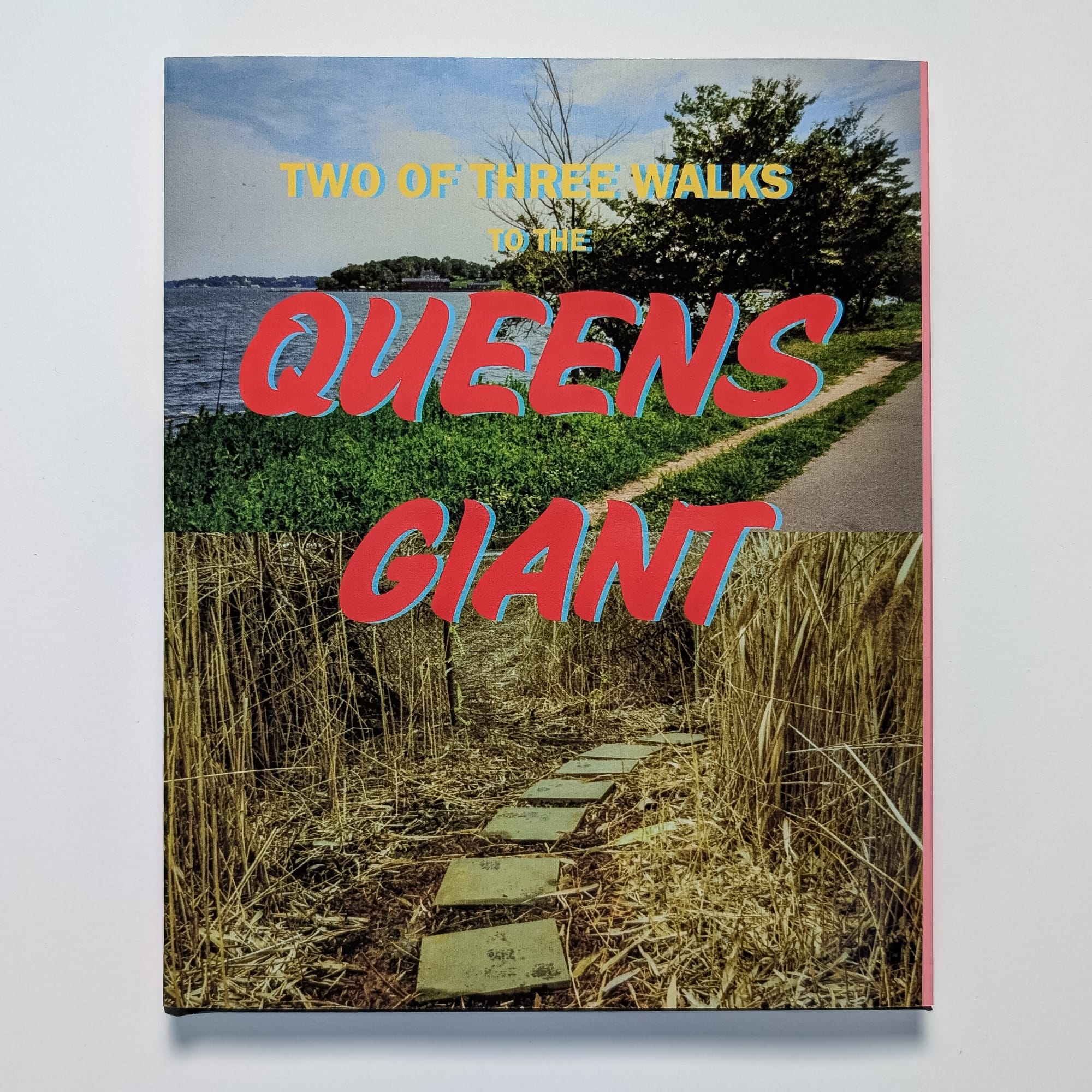
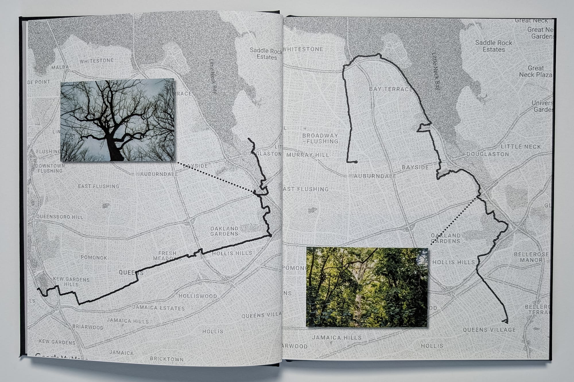
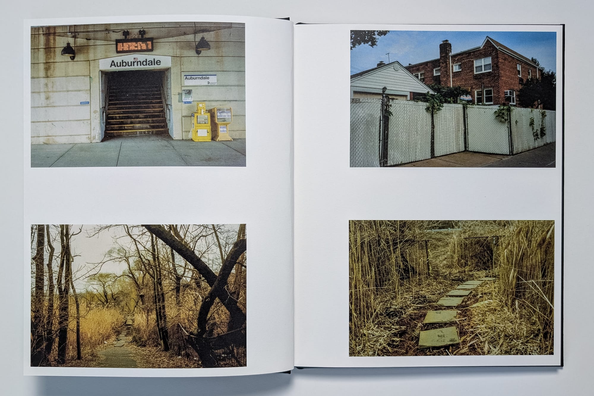
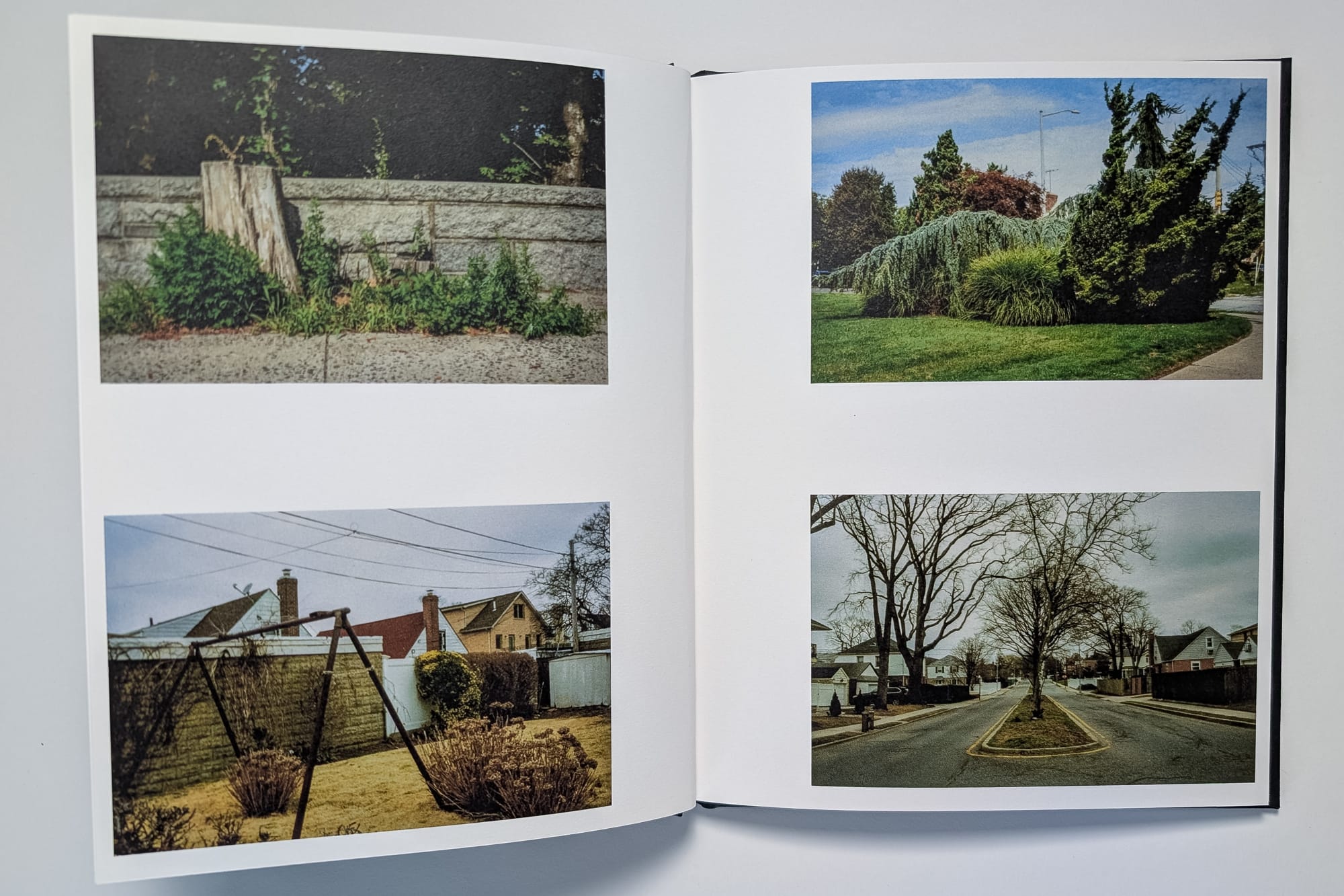
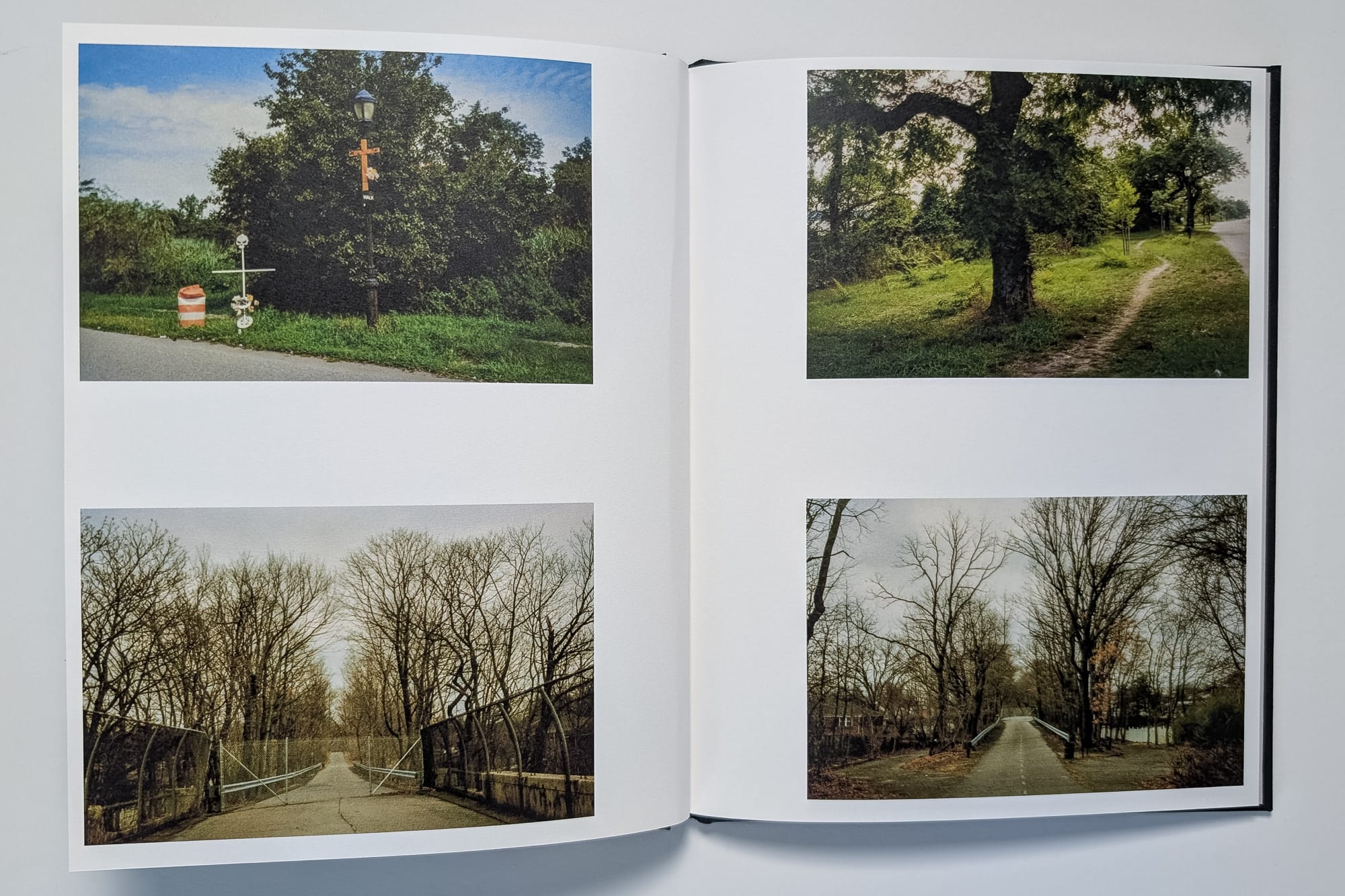
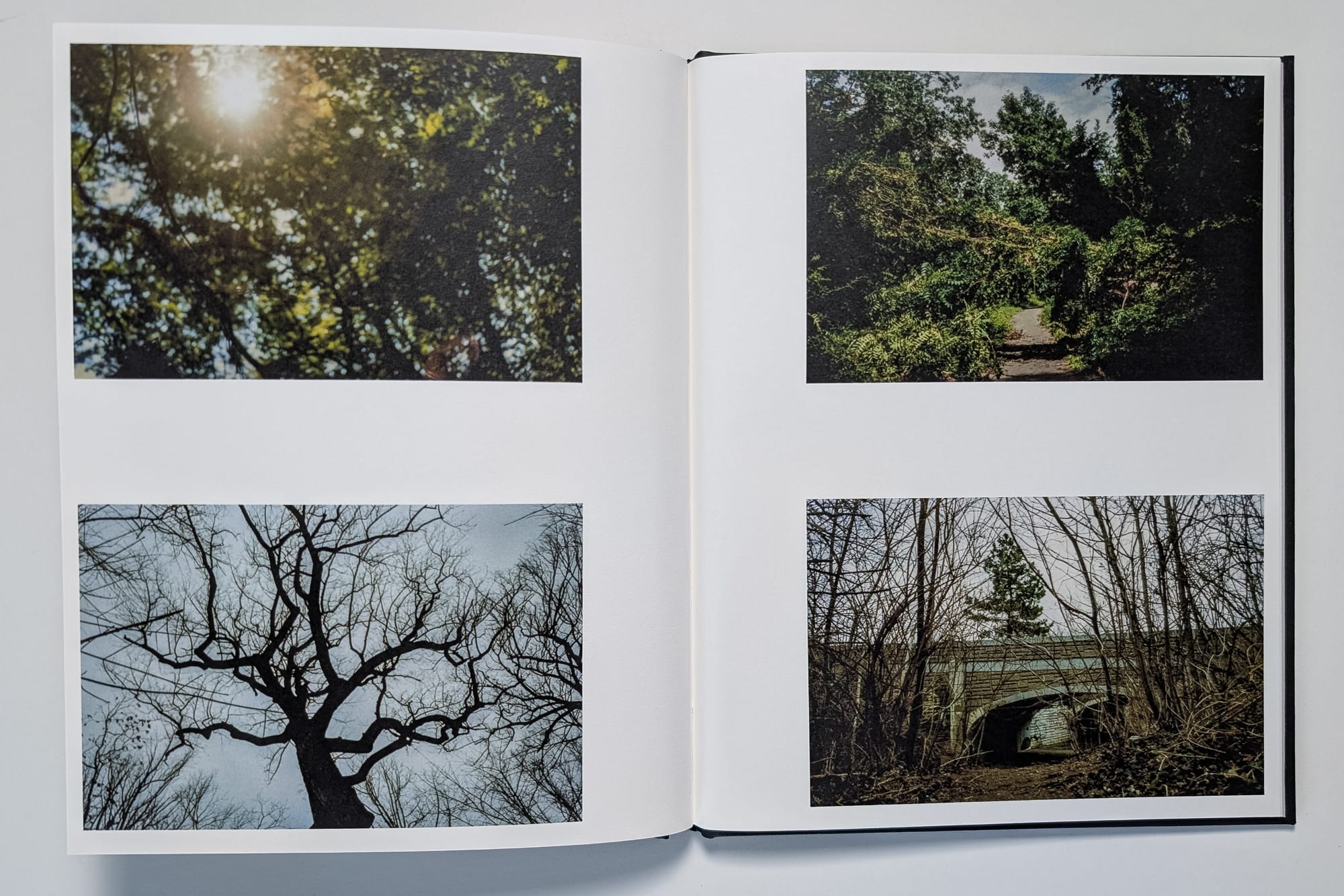
This project began as part of a broader exploration into New York City’s parks and trees, which I started back in 2017. During my research, I learned about the Queens Giant, New York City's oldest and tallest tree, tucked away in Alley Pond Park. An article in The New York Times described it as “a true wonder of the city,” quoting Parks Commissioner Adrian Benepe: “There is something to be said for leaving it in a bit of obscurity. It’s part of the reason it has survived this long. If everyone is attracted to it, it increases the chance of something bad happening to it.”
You can view all of the spreads and the rest of the text here: https://photography.bryanformhals.com/book-two-of-three-walks-to-the-queens-giant/
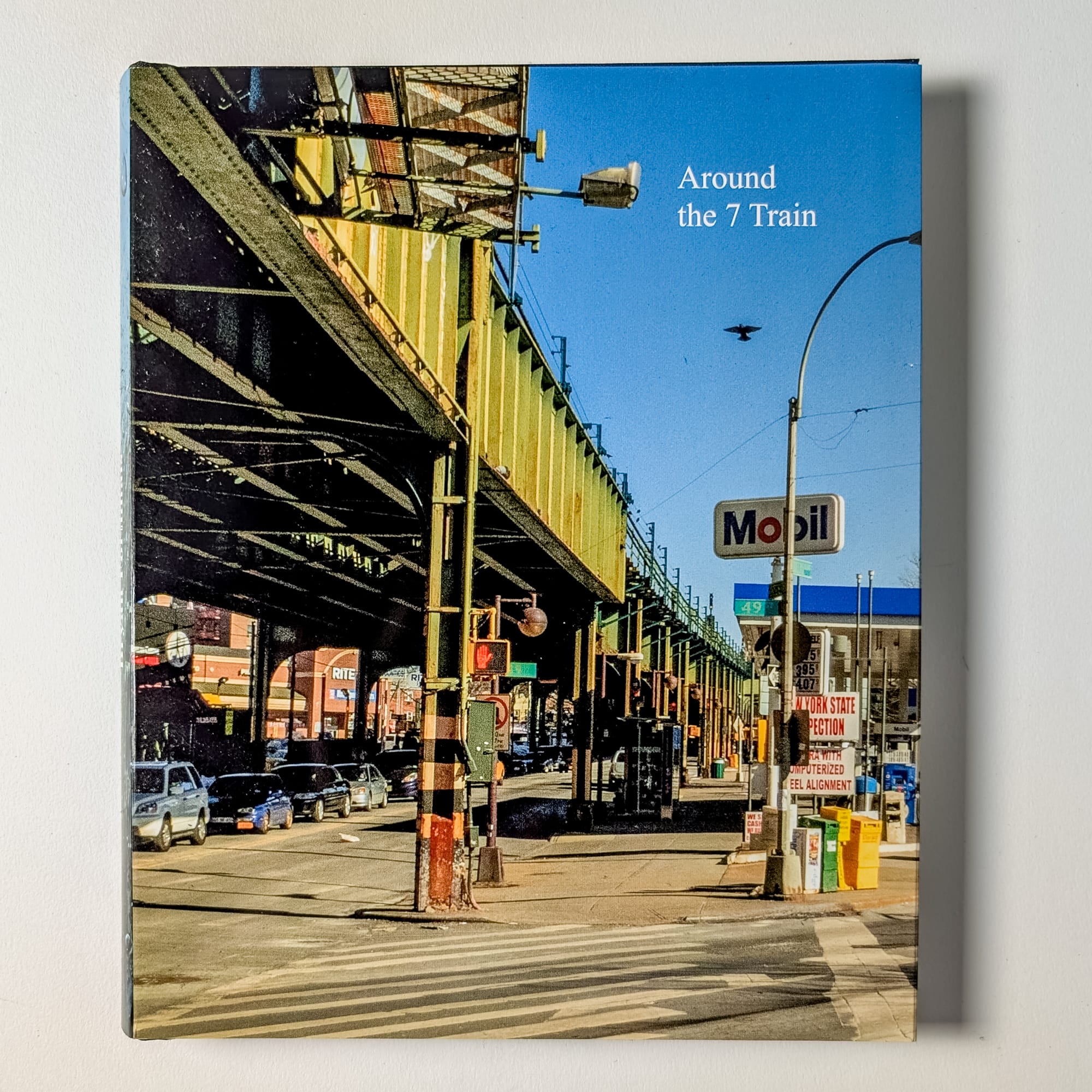
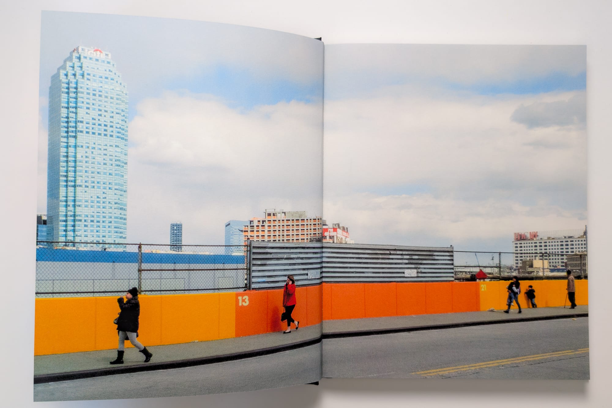
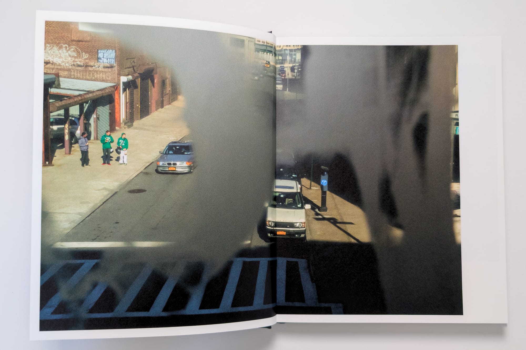
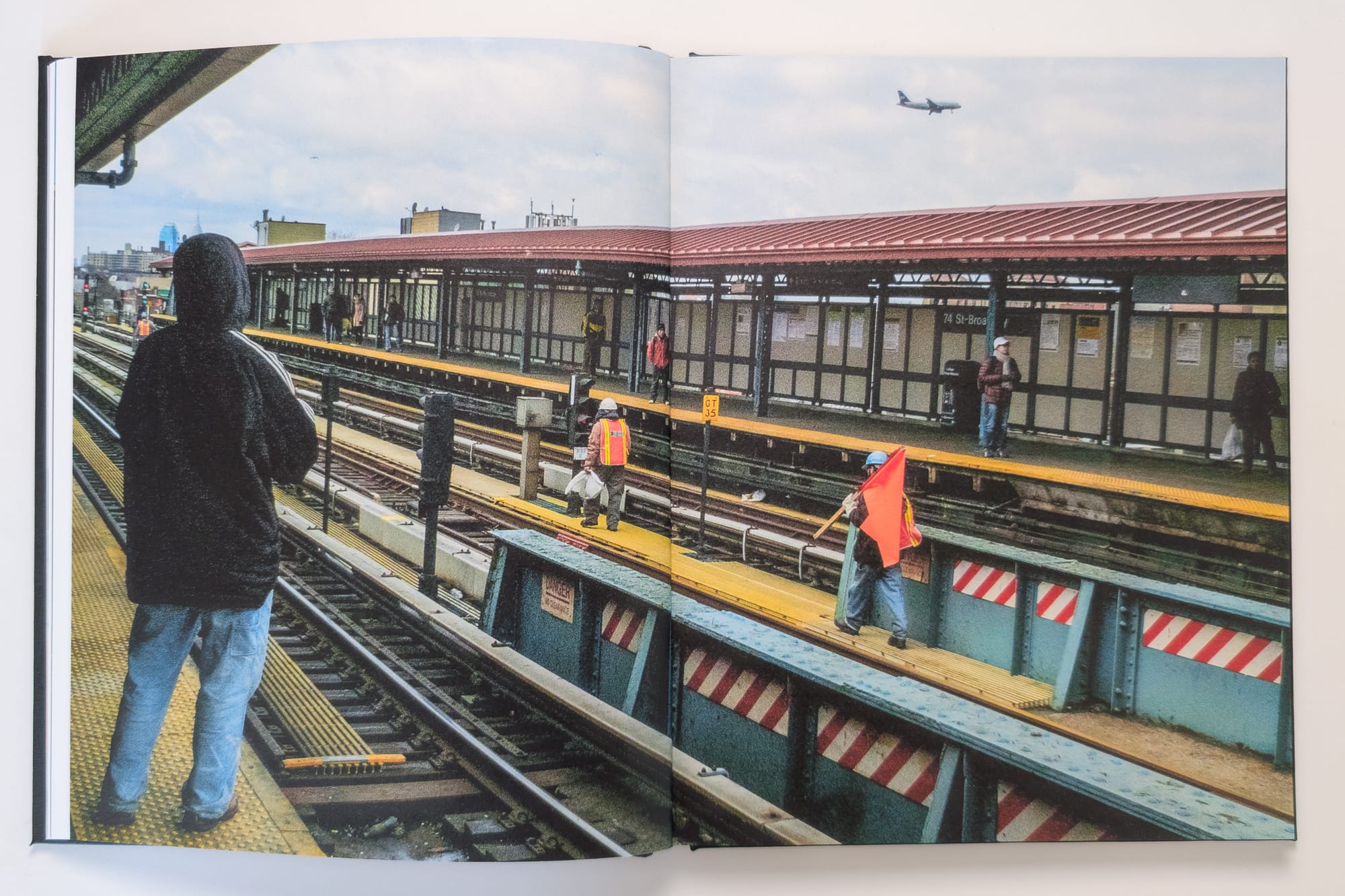
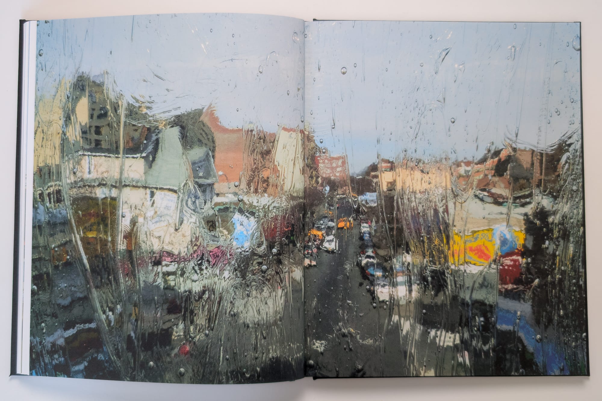
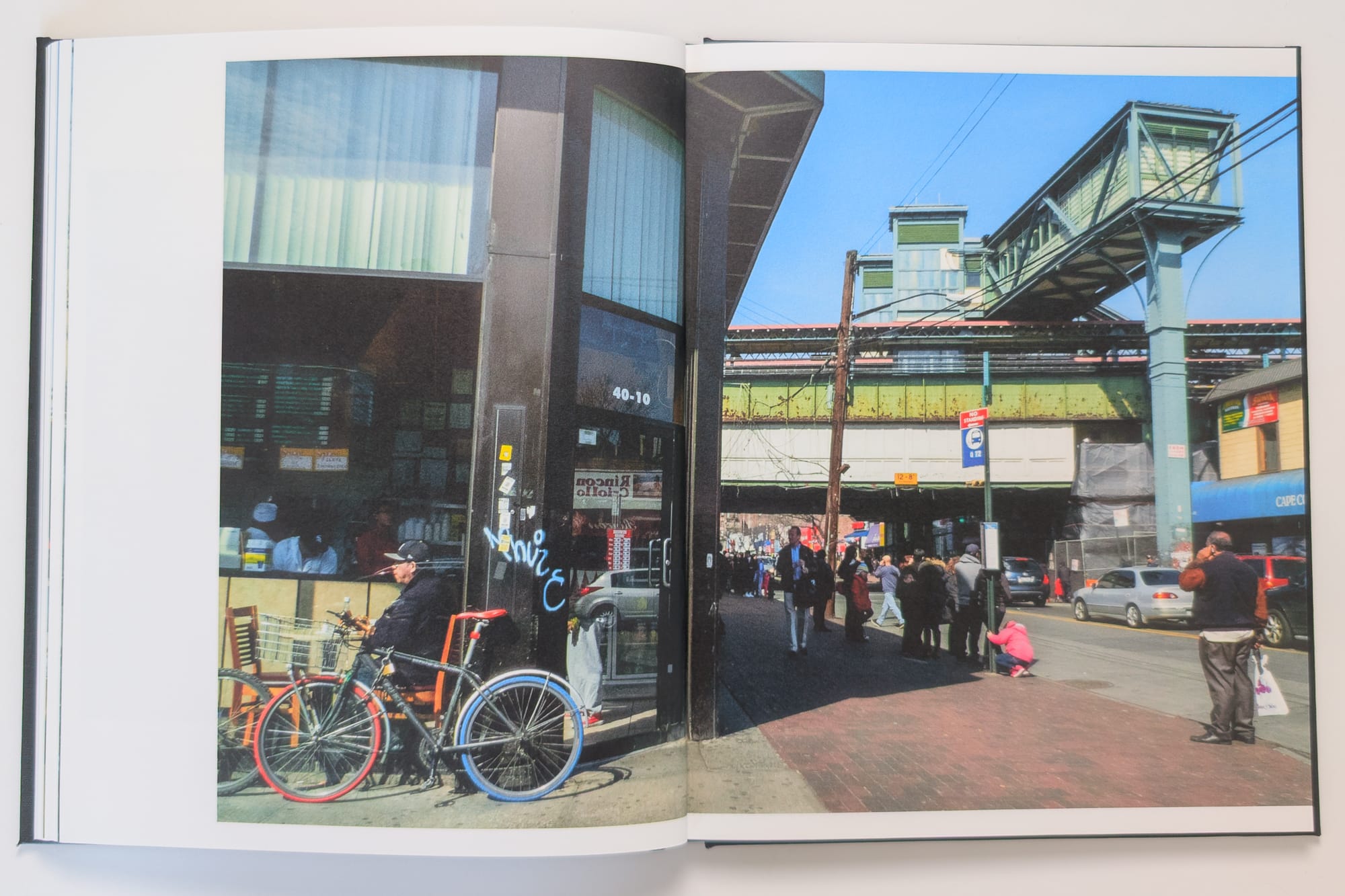
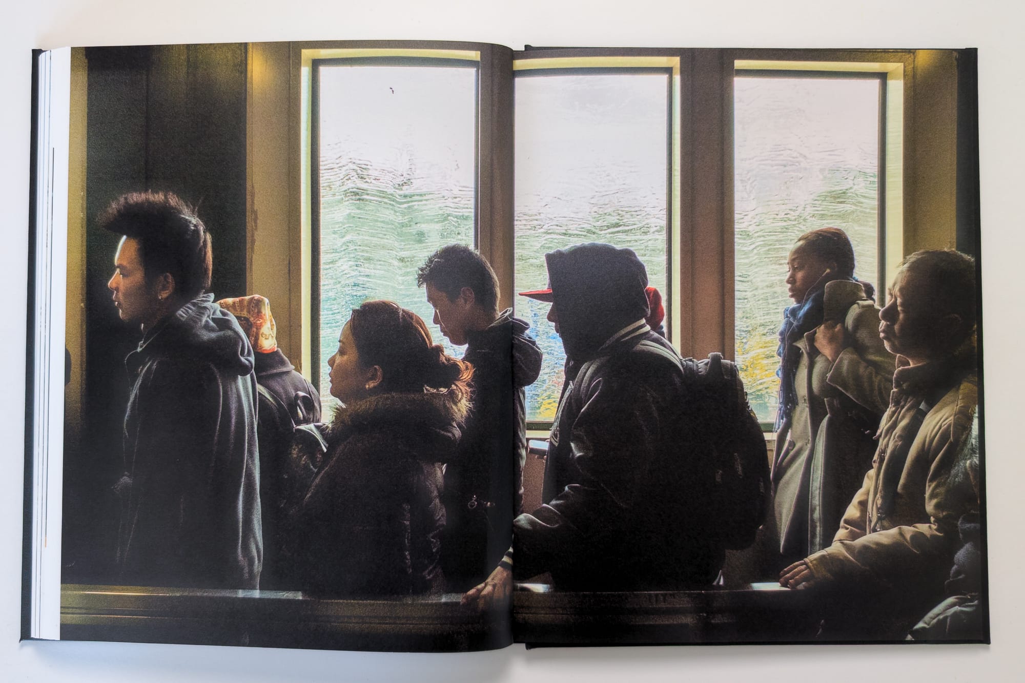
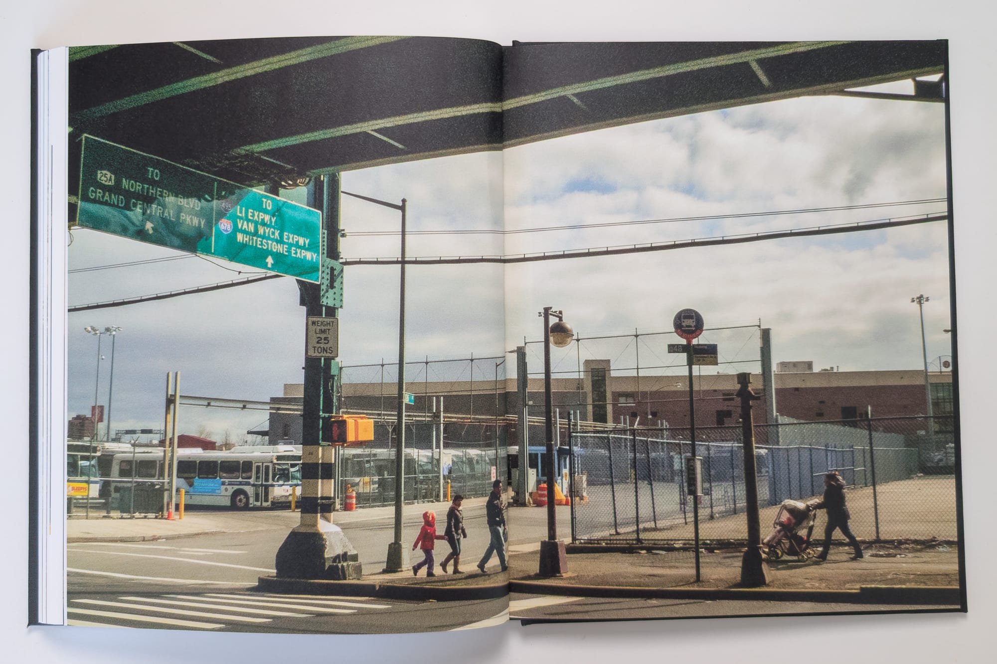
The 7 Train, often called the "International Express," traverses the most diverse neighborhoods in Queens, New York City. Much of its route is elevated, most notably above Roosevelt Avenue, a major commercial corridor. This elevated structure significantly shapes the borough's landscape and geography.
The project began in 2012, after moving to Astoria. On a day off from work, I decided to walk the length of the 7 train, from Long Island City (LIC) to Flushing. The initial walk led to several more during the first six months of 2013. I would get on at 52nd St station, right by my apartment, and ride for a few stops before disembarking to walk along the line and surrounding blocks.
You can view all of the spreads and the rest of the text here: https://photography.bryanformhals.com/around-the-7-train-photobook/
A Visit to the Minnesota Landscape Arboretum via SW Transit
A visit to the Minnesota Landscape Arboretum has been on my to-do list since I relocated to the Twin Cities a couple of years ago. Initially, when I looked at the map, I envisioned walking the 20 miles from Downtown Minneapolis over two days, but that idea soon faded due to too many unknowns along the route. When I scheduled a weeklong staycation in May, I was determined to finally make the trip.
I had recently read a Minnesota Star Tribune article by Greta Kaul about unique suburban walks, highlighting the trails in Jonathan, a planned community just west of Chaska. Intrigued by the town’s utopian vision, I realized from studying the map that walking from the East Creek SouthWest (SW) Transit station to the Arboretum would likely be feasible.
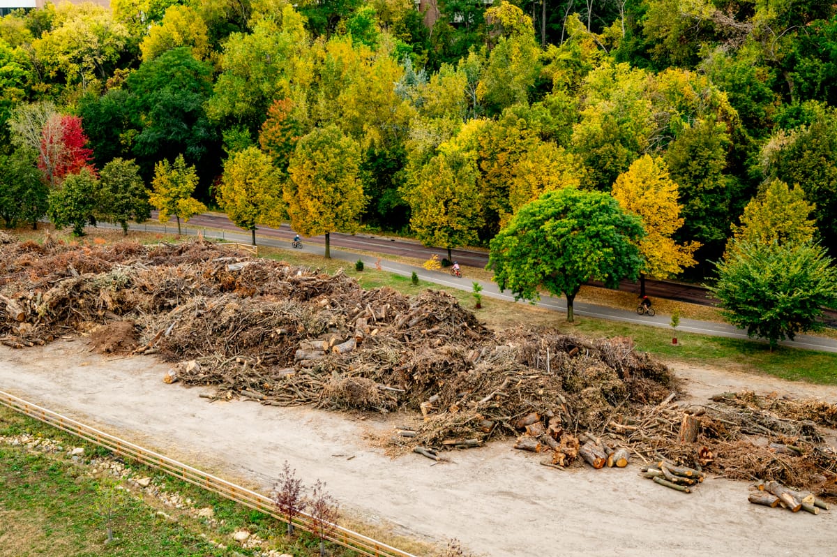
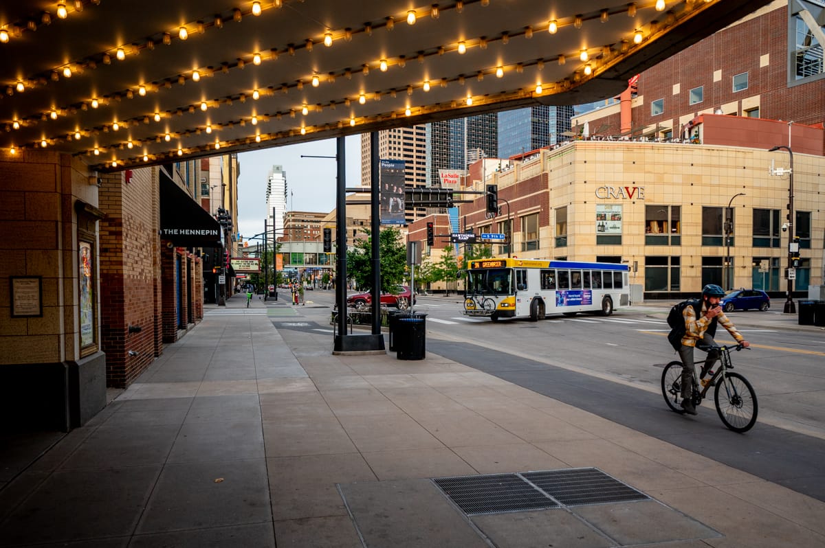
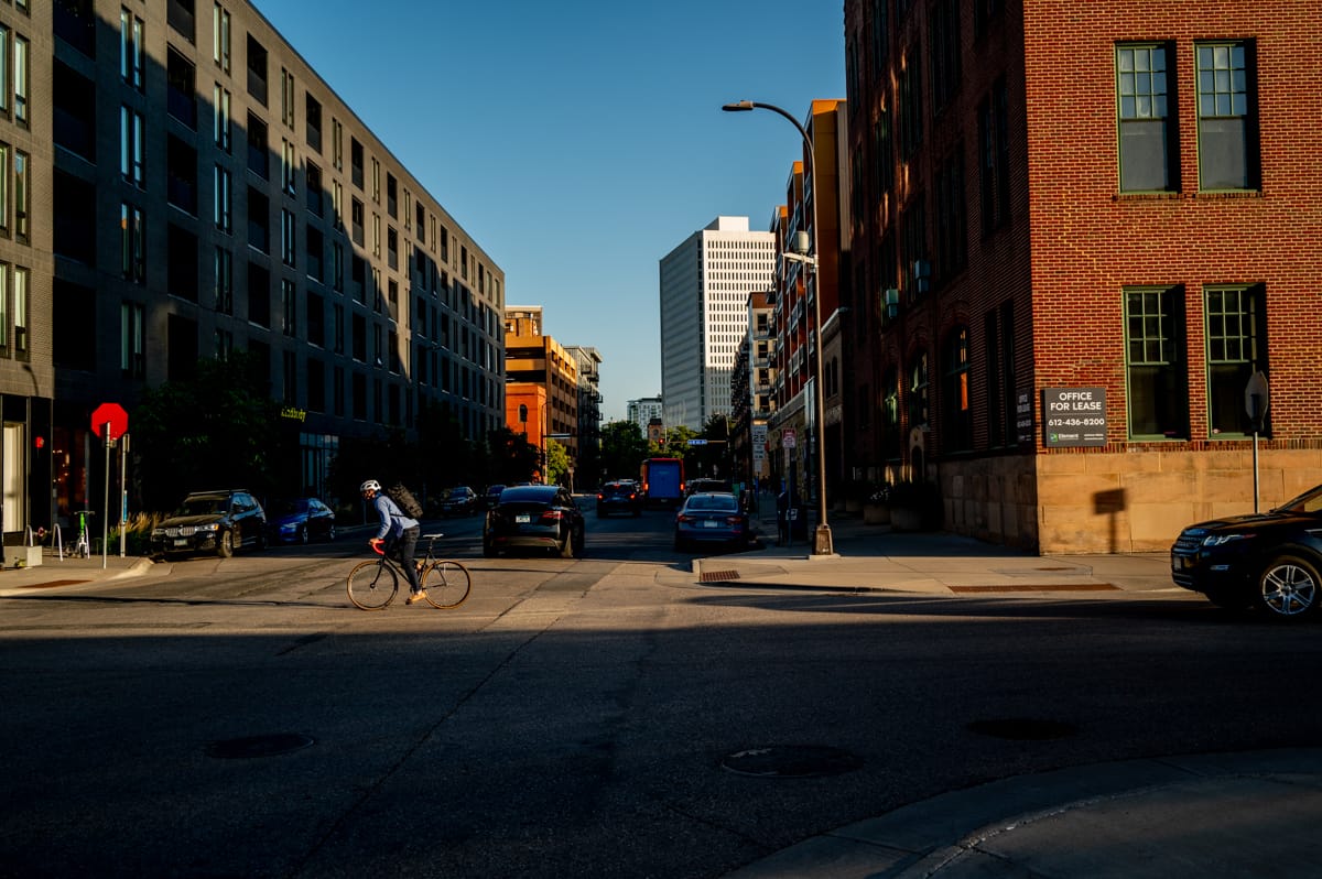
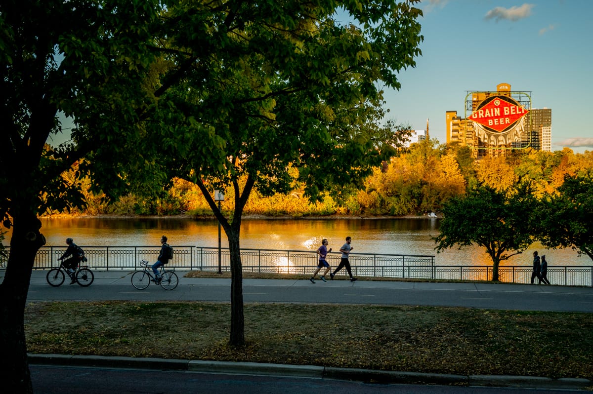
The Landscape of Minneapolis Cycling
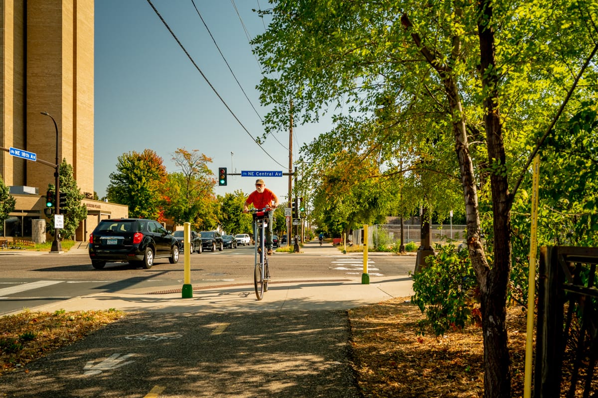
When I moved to Minneapolis in 2023 and began exploring the city on foot, I was quickly inspired by the bike culture. Through my work with Streets.mn, I have met many bike advocates and enthusiasts, whom I feel form the nucleus of the energy driving our efforts for equitable transit and infrastructure.
While walking, I began to reflect on how Minneapolis’ excellent bike infrastructure enhances the pedestrian experience. The network of dedicated bike lanes, greenways, parks and paths — and the integration with the broader transit system — both supports cycling and fosters a symbiotic relationship with pedestrian infrastructure. As I walked the city making landscape photographs, I was also inspired by how cyclists navigated the network. I’m drawn to the movement, energy and style of cycling. It brings a burst of energy and dynamism to public spaces that make them much more enjoyable. The strong sense of community, most visible in group bike rides, was contagious. As a pedestrian, I find no better allies and sources of inspiration than the cycling community.
Read the rest of the essay on streets.mn
I’m an photographer and marketing specialist living in Minneapolis. This is my newsletter on art, walking, urbanism and mindfulness.
Each issue, I share new work from my projects and try to make connections between ideas, articles and people that fascinate me. You can follow me on Instagram.