Dispatch from the Archive: The Boulder at Paidge Ave.
Early New York photographs made while walking the city. A closing image reframes the work and signals what follows.
I’ve been spending a lot of time this year working backward through the NYC Public Strata archive, re-sequencing early books, tightening the structure, and working to clarify the structure and sequence of the archive as a whole.
2025 has been a productive year for me in that regard. This is the fourth volume I’ve shared publicly this year from the archive. Others are still moving through different stages, but at this point the work feels oriented. Not finished, but aligned.
One thing that’s been especially revealing is returning to photographs from the beginning and reading them through the lens of everything that came later.
Learning the city before the project existed
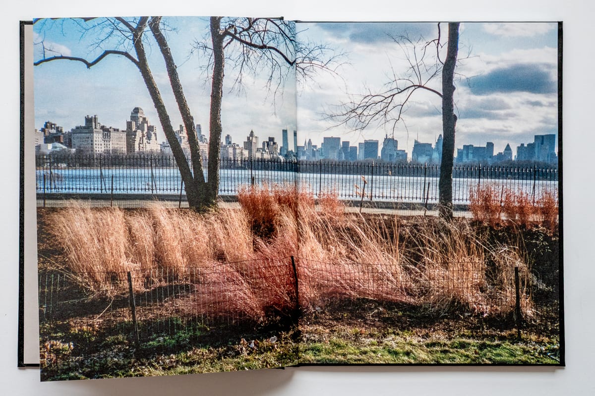
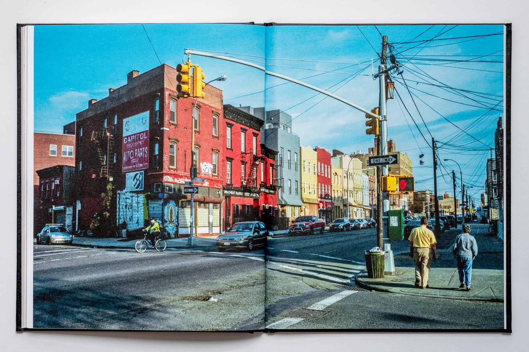
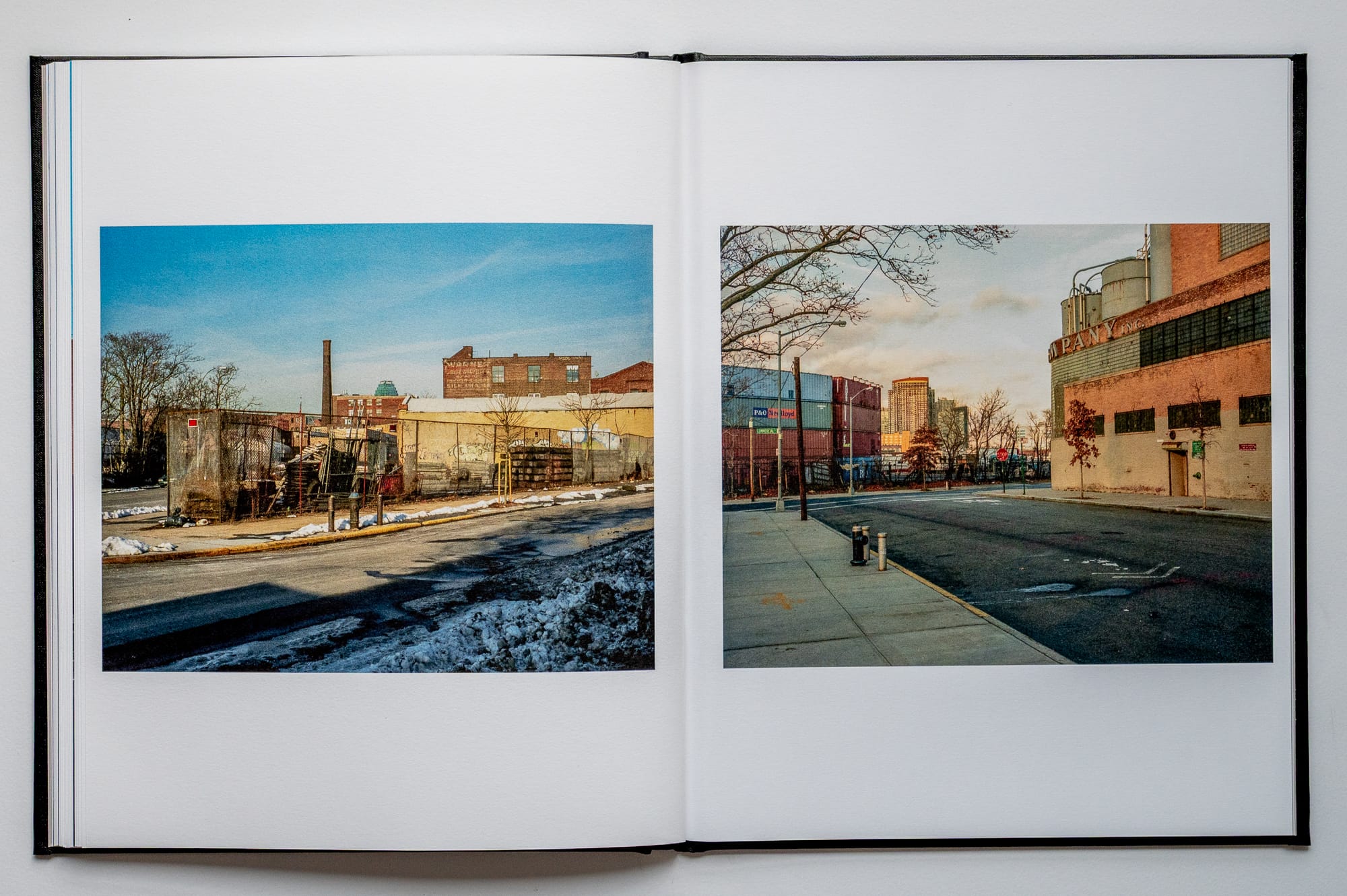
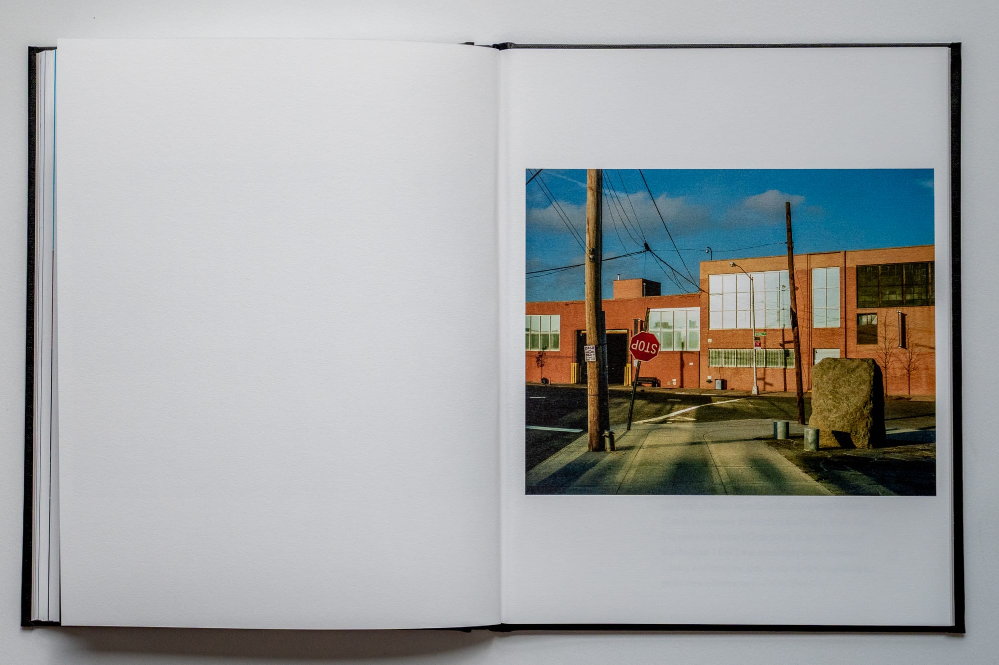
The Boulder at Paidge Ave. gathers photographs made between 2009 and 2011, during my first years living in New York, while moving through Brooklyn and Manhattan on foot. At the time, there was no defined project.
I was discovering the city through long, wandering walks, what I would later recognize as a kind of dérive, amplified by the city’s scale and the reach of the subway.
These images always felt unresolved to me, made while figuring things out, before there was a clear framework for what the work would become. They had a natural endpoint, but no obvious resolution. For years I kept revisiting them, trying to understand where they fit and what they were signaling for the larger project.
What eventually shifted things wasn’t a new photograph. It was research.
The hinge
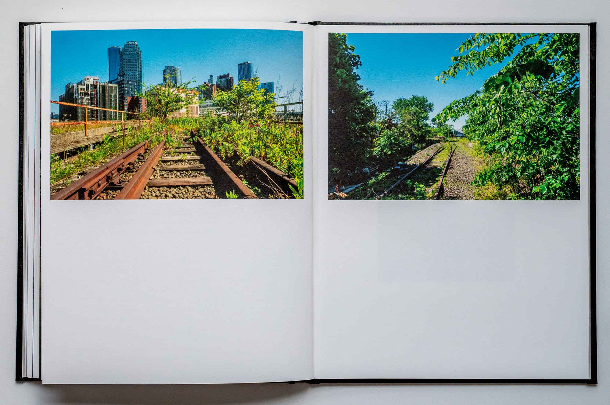
Near the end of the book, there’s an image of a large boulder near Paidge Avenue. When I made the photograph, it didn’t feel especially significant. It was just a photograph.
Years later, studying the image alongside maps and site history, I realized it marked the entrance to the Newtown Creek Nature Walk, a place I had unknowingly bypassed despite years of walking the surrounding neighborhoods. I had photographed the threshold and never stepped inside.
That realization changed how I understood the earlier work. The boulder became a hinge. It didn’t explain the photographs that came before it, but it reframed them. What once felt like drifting began to resolve as a pattern of attention toward pedestrian networks, overlooked green spaces, and the connective tissue of the city encountered at walking speed.
A decade later, while walking the abandoned Montauk Cutoff during the early months of the pandemic, I turned south toward Greenpoint, in the direction of that boulder. That movement closed a long loop in the work, one I couldn’t have recognized at the beginning.
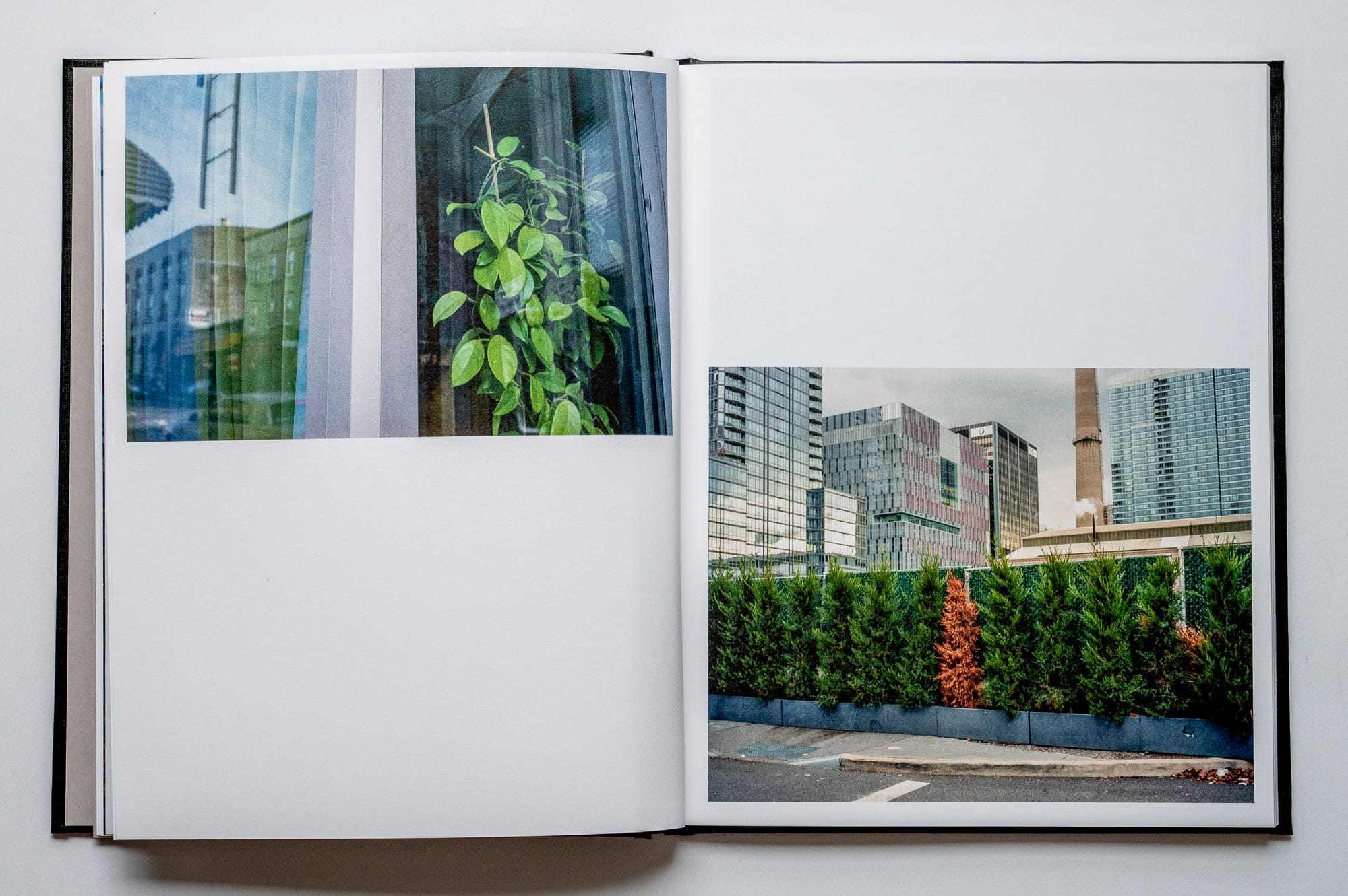
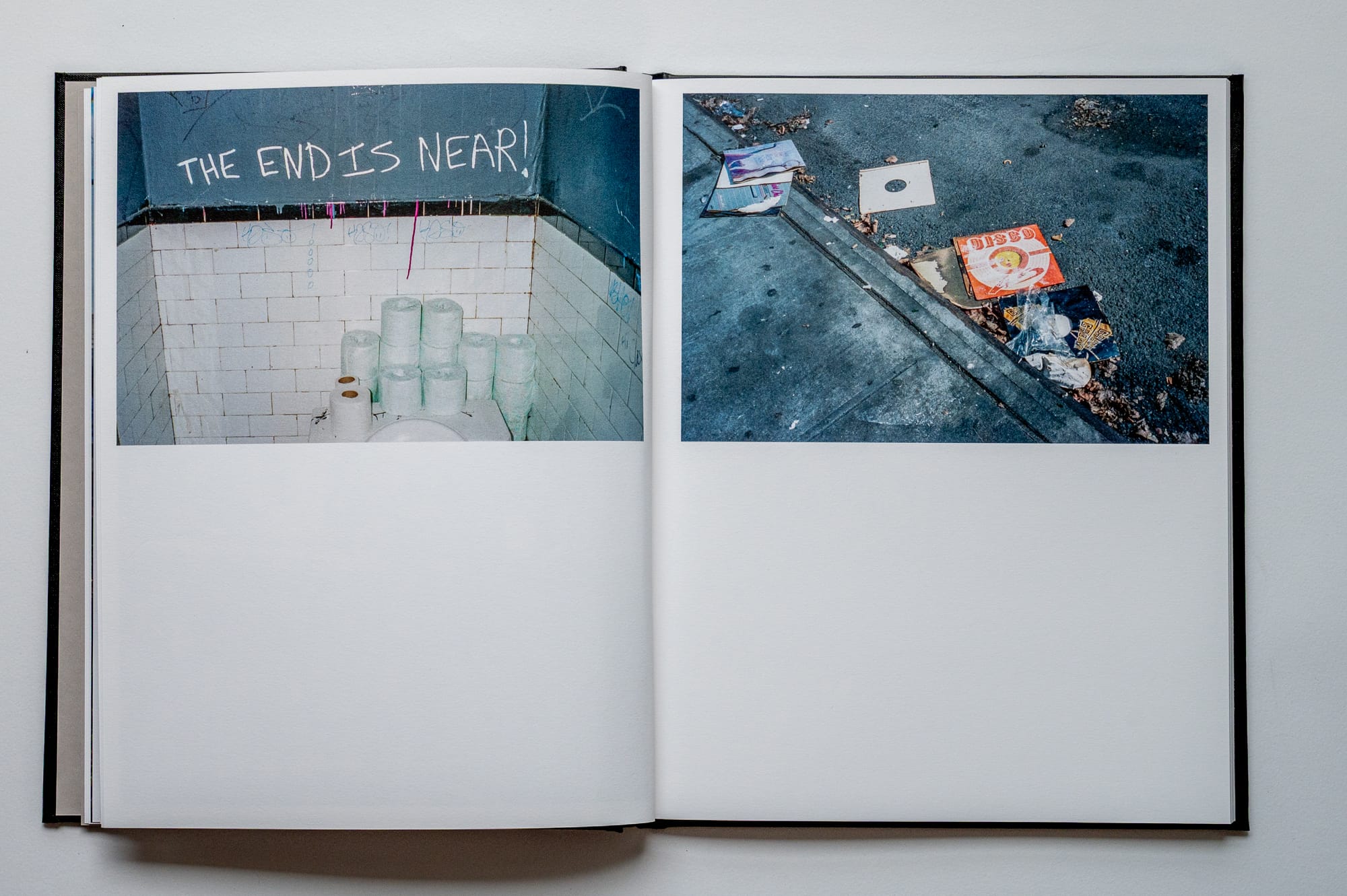
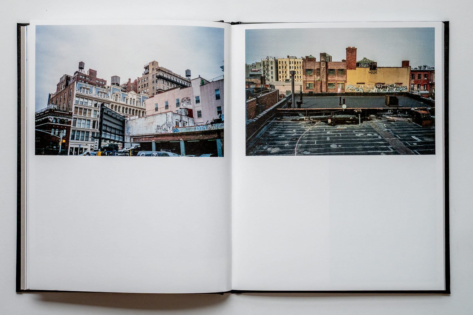
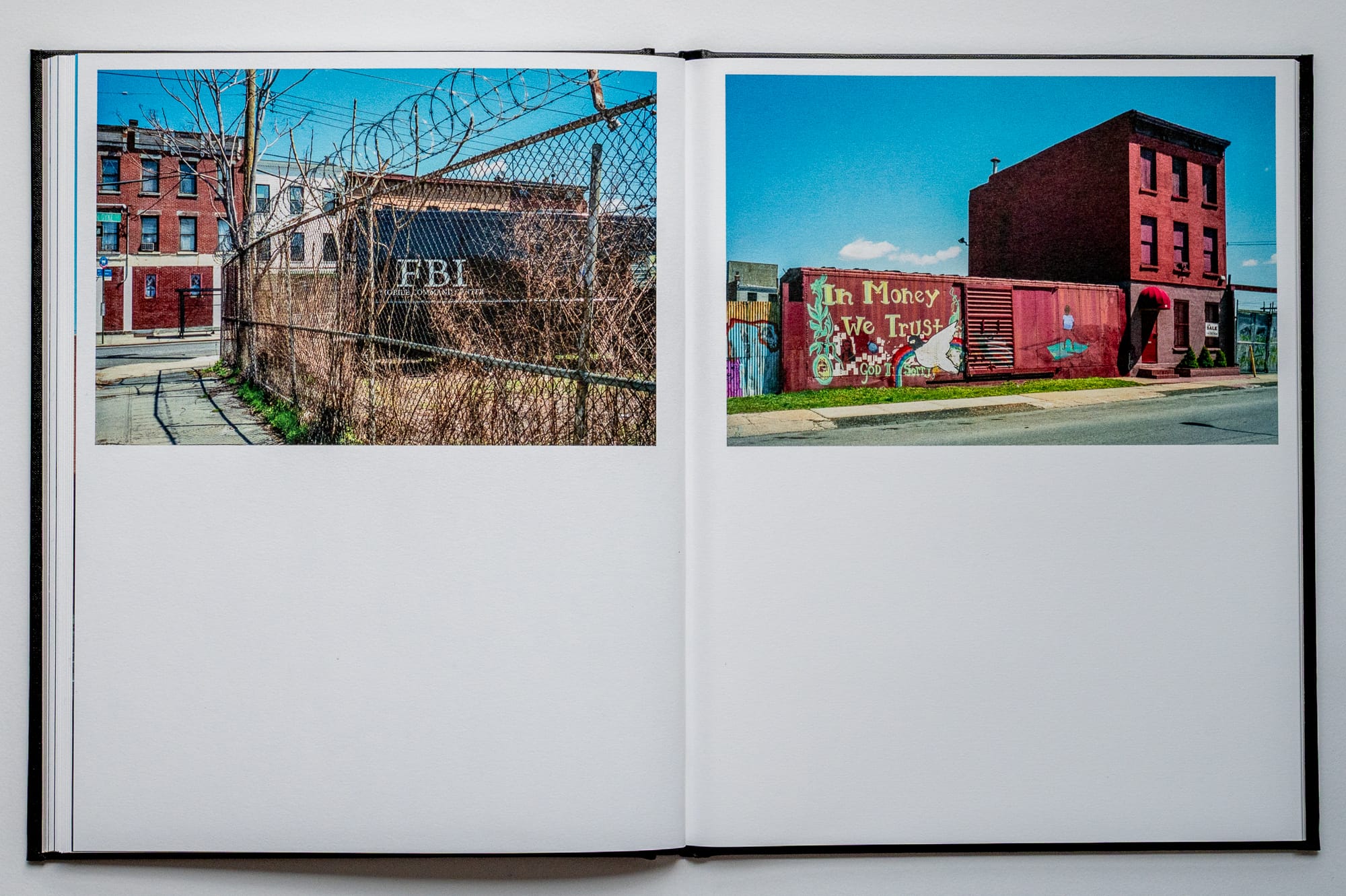
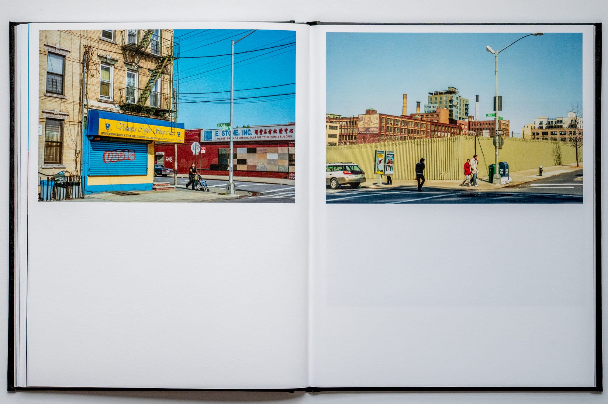
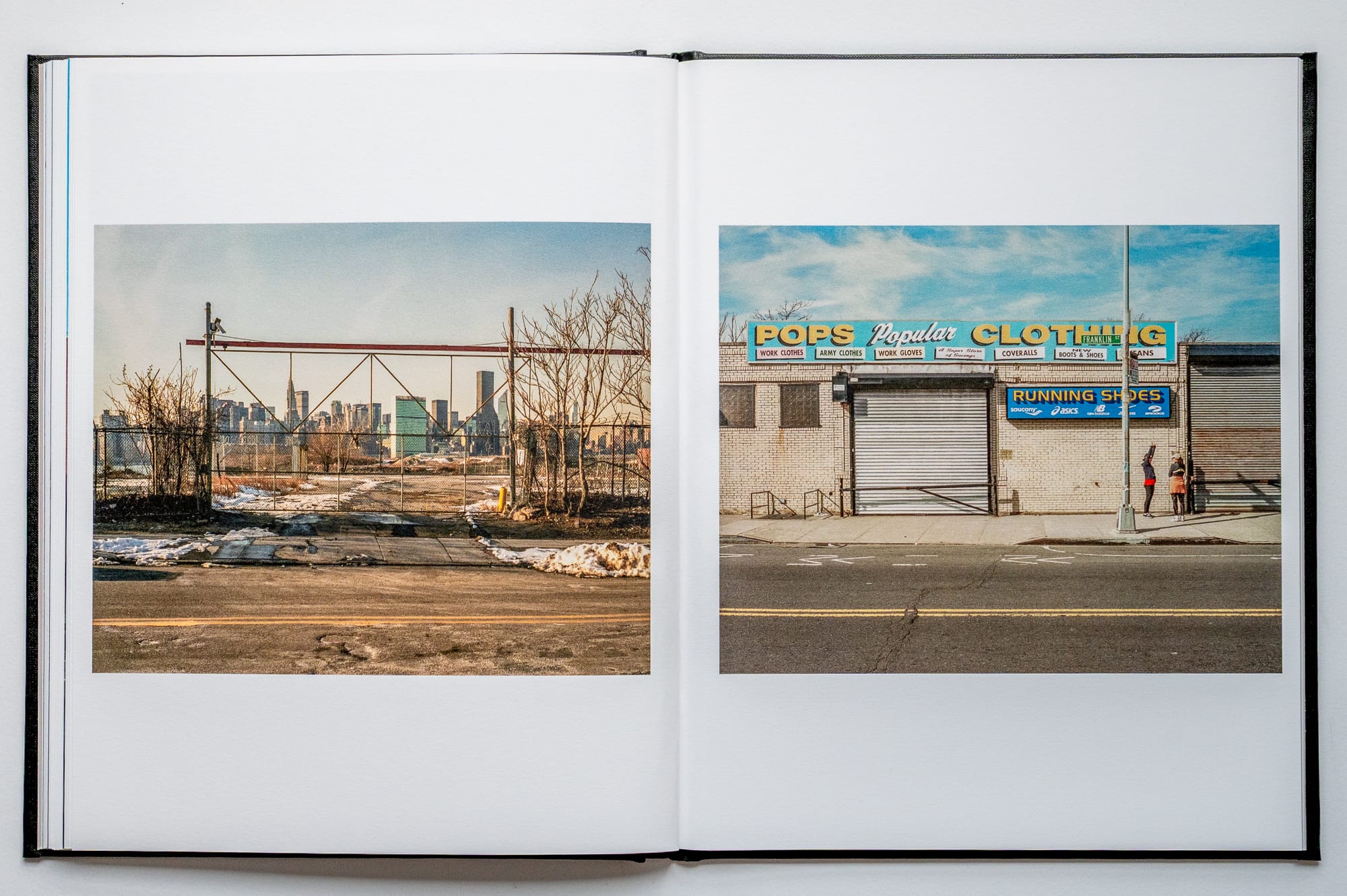
Selected Spreads
Alongside this volume
A few pieces of infrastructure history I’ve been thinking about while revisiting this book:
- Background on the Newtown Creek Nature Walk
- History of the Montauk Cutoff
- Newtown Creek’s industrial legacy and Superfund timeline
- Proposed Lower Manhattan expressway and mid-century infrastructure planning
The full sequence from The Boulder at Paidge Ave. is available on the site.
More from the archive soon.
Bryan
I’m a photographer based in Minneapolis working on long-duration projects centered on walking, cities, and public space. This newsletter shares periodic dispatches from that work, along with selected images and related references. Selected work also appears on Instagram.