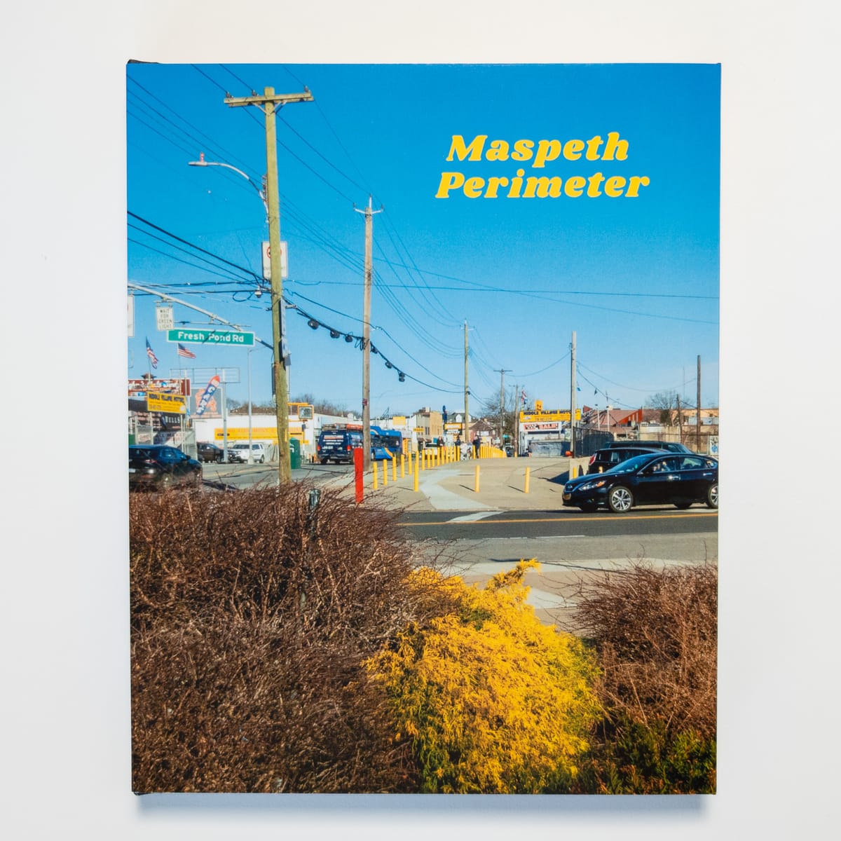
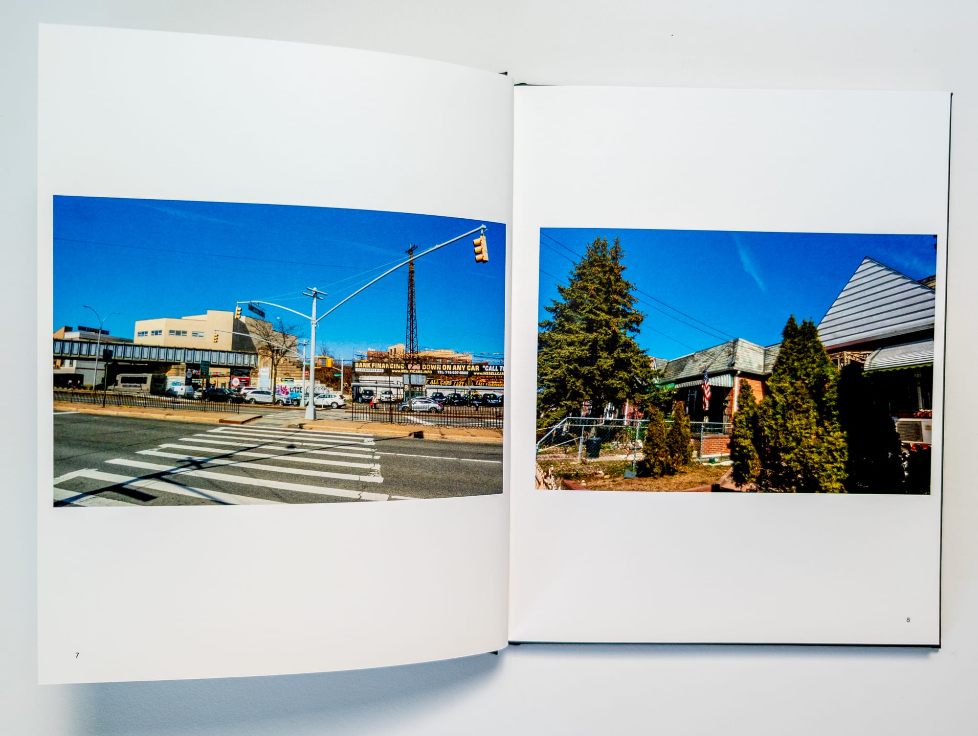
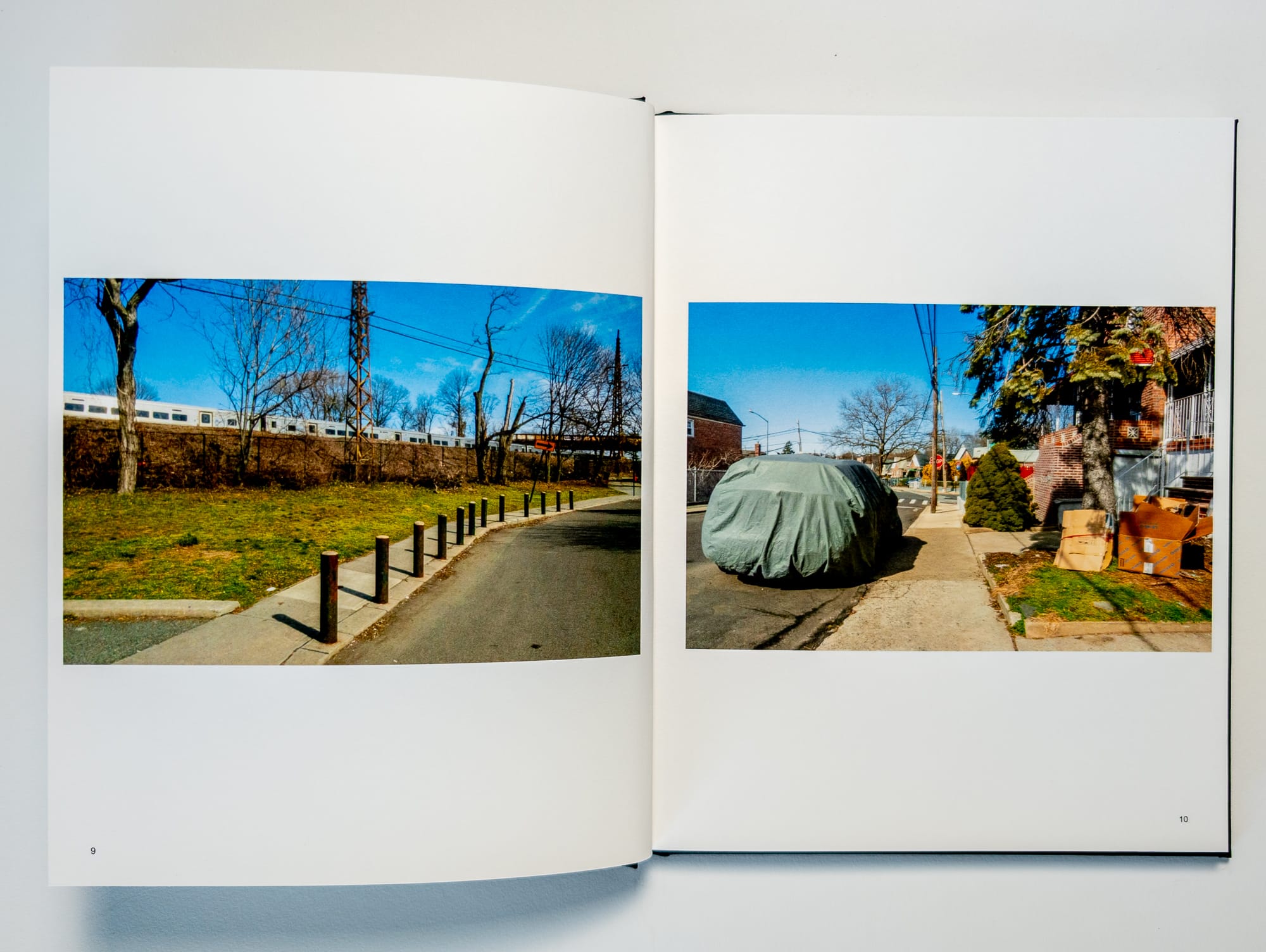
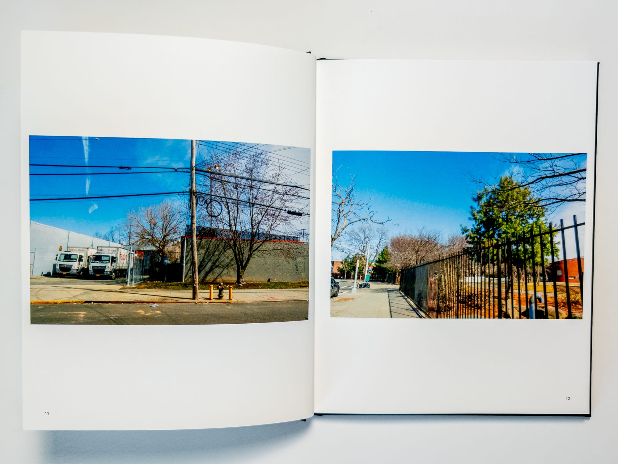
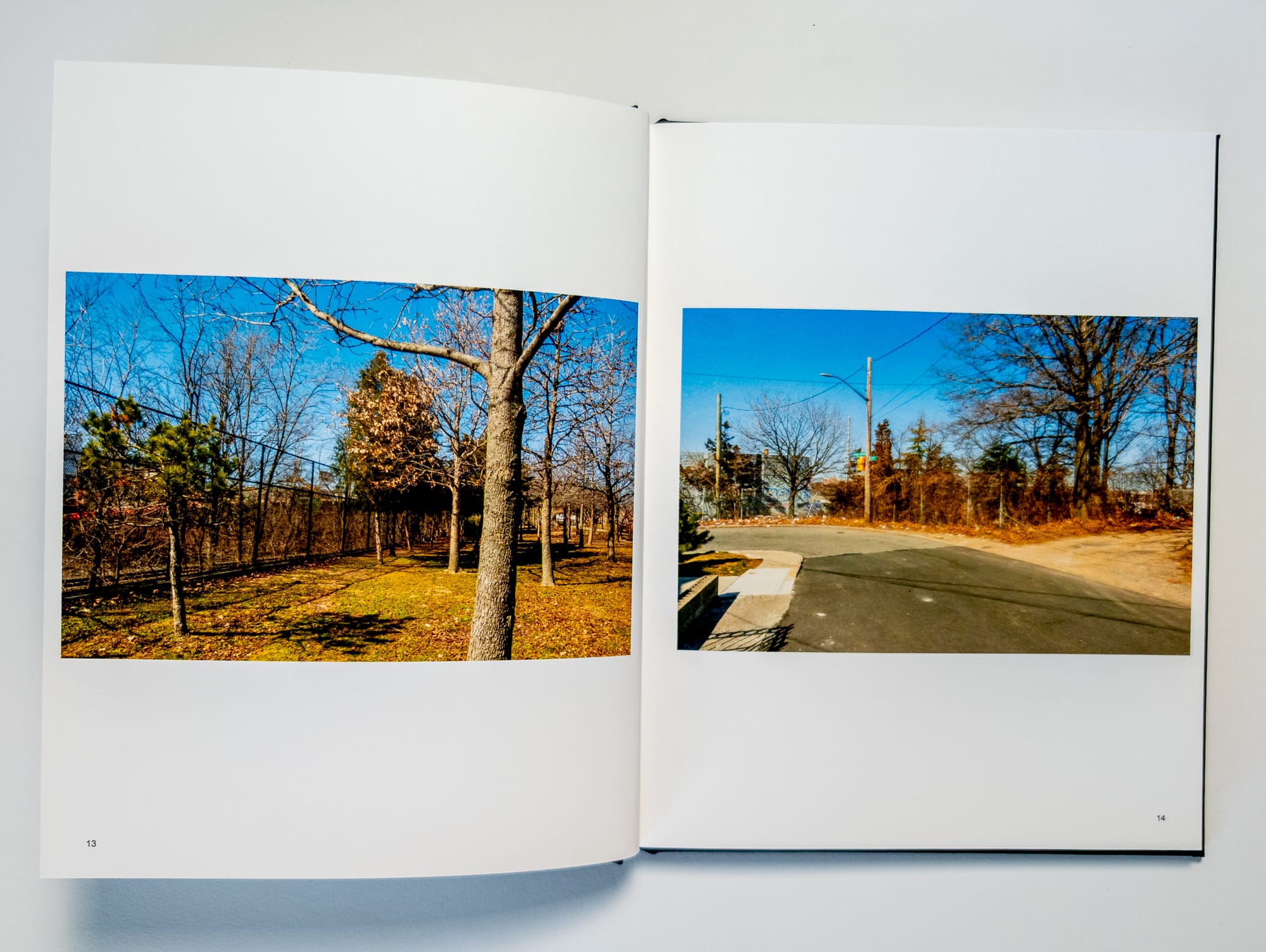
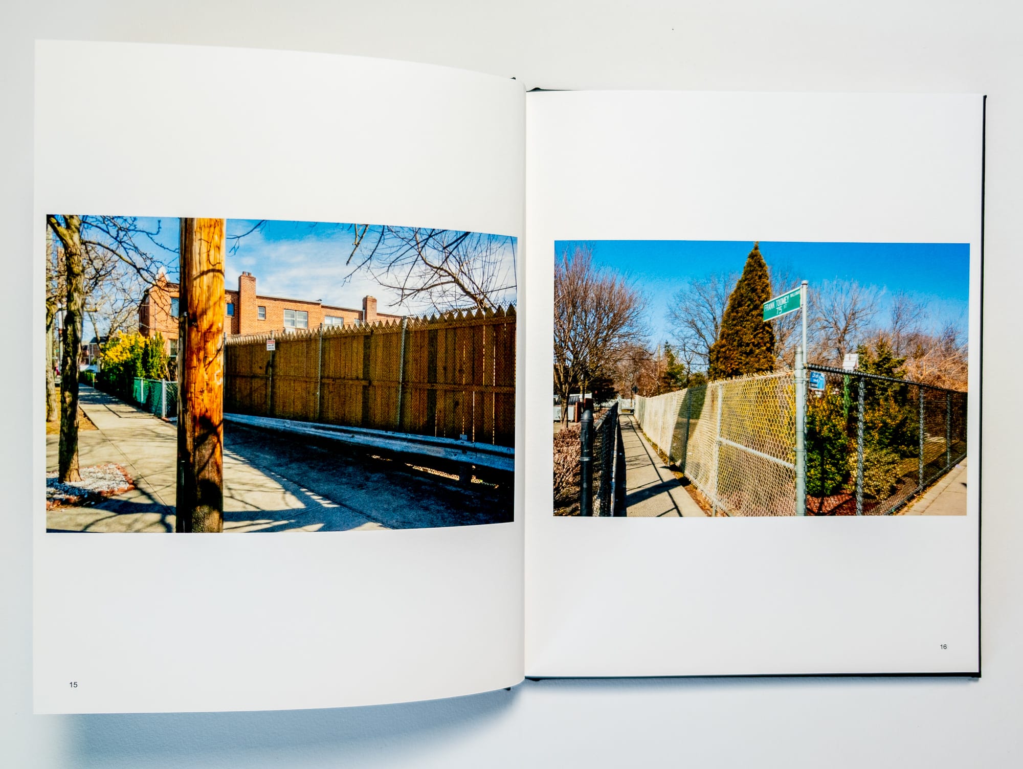
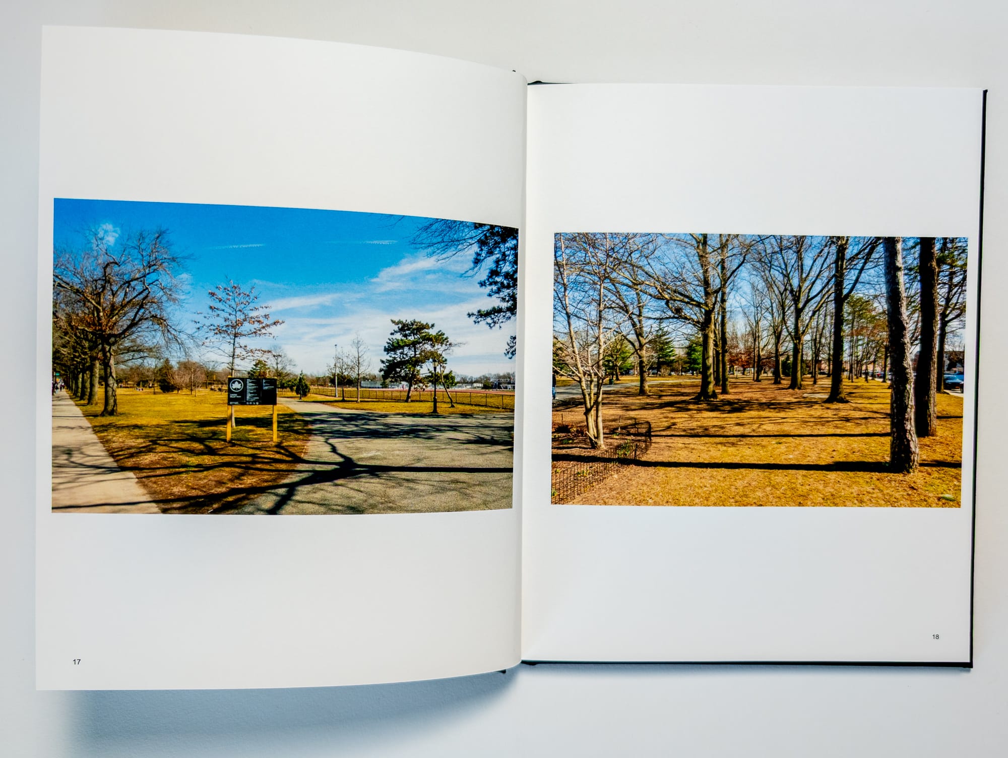
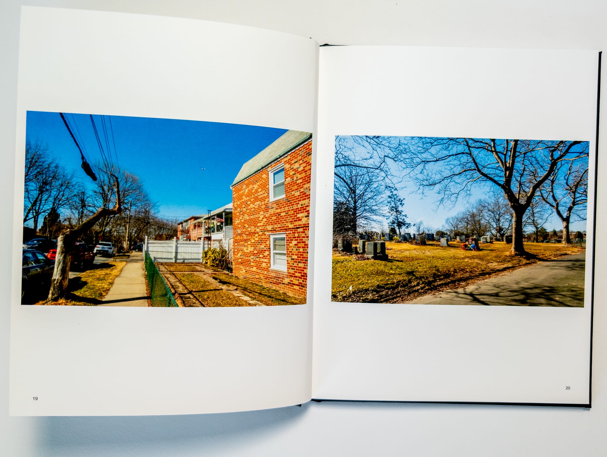
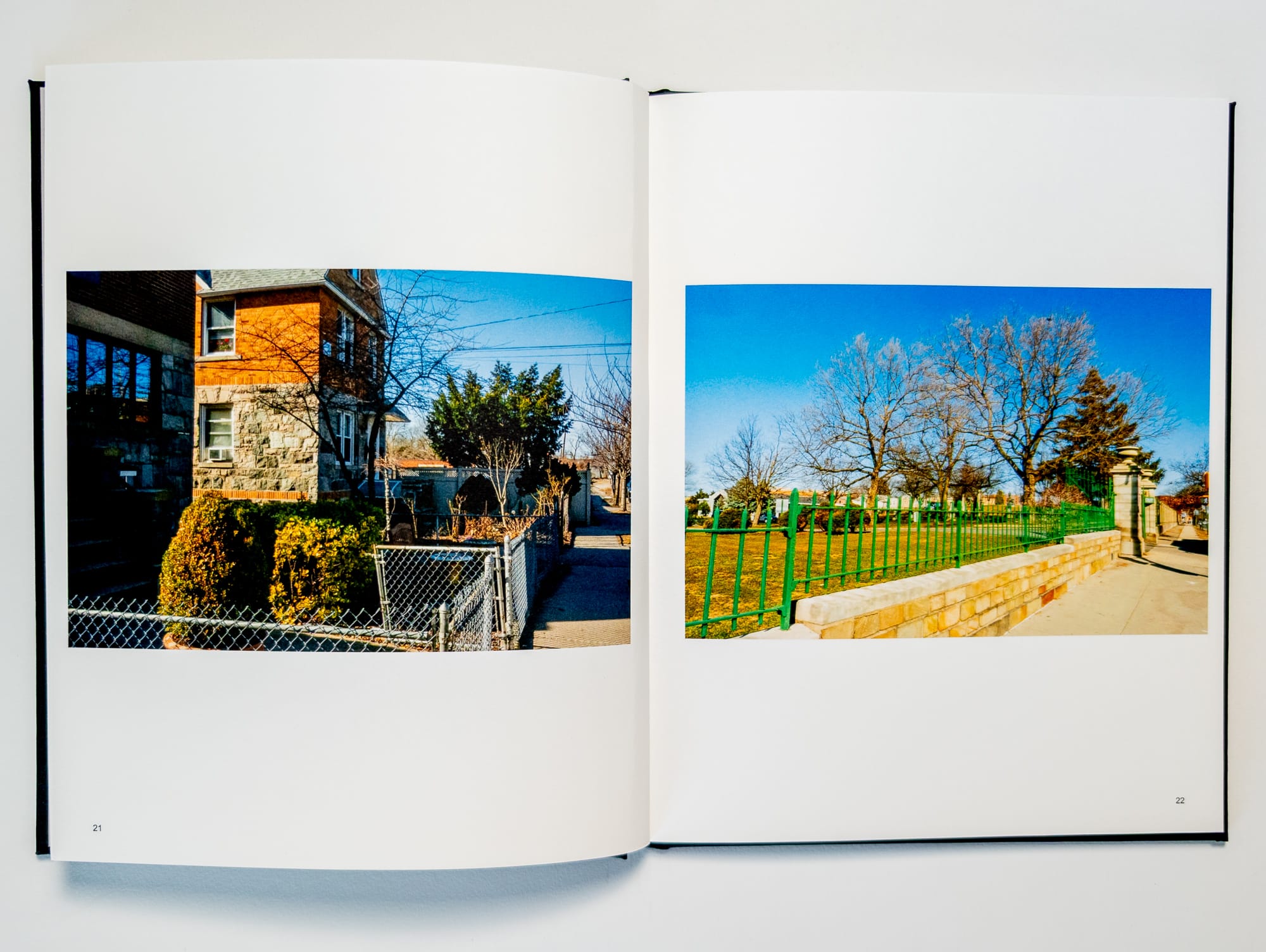
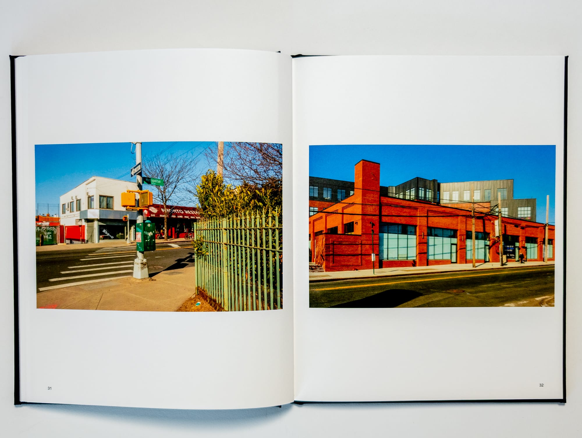
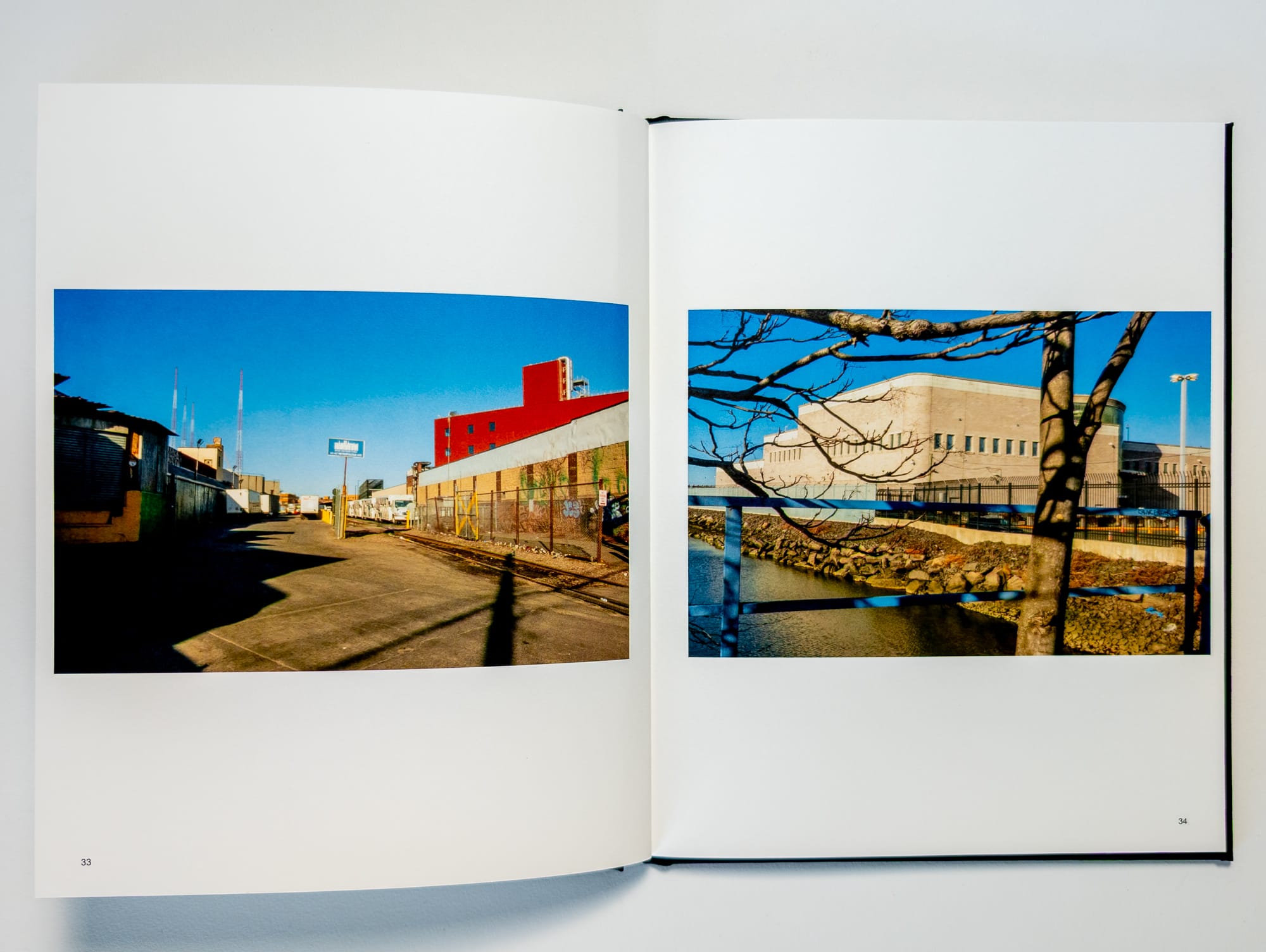
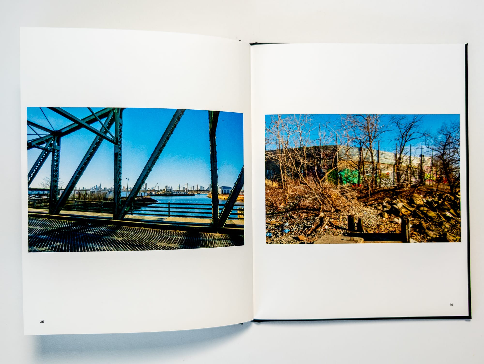
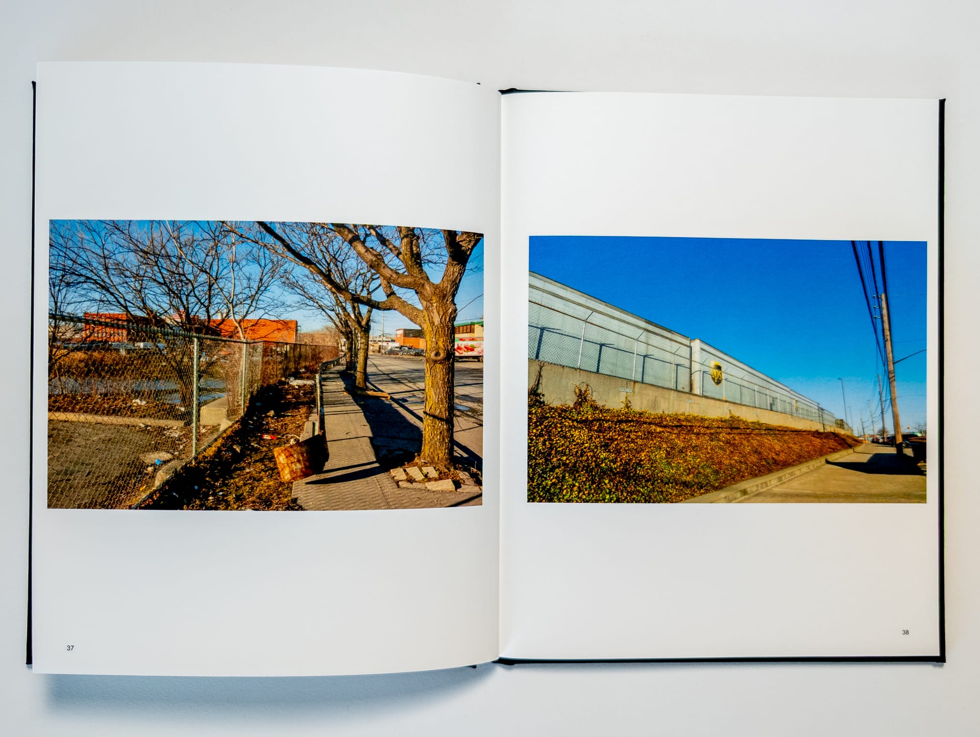
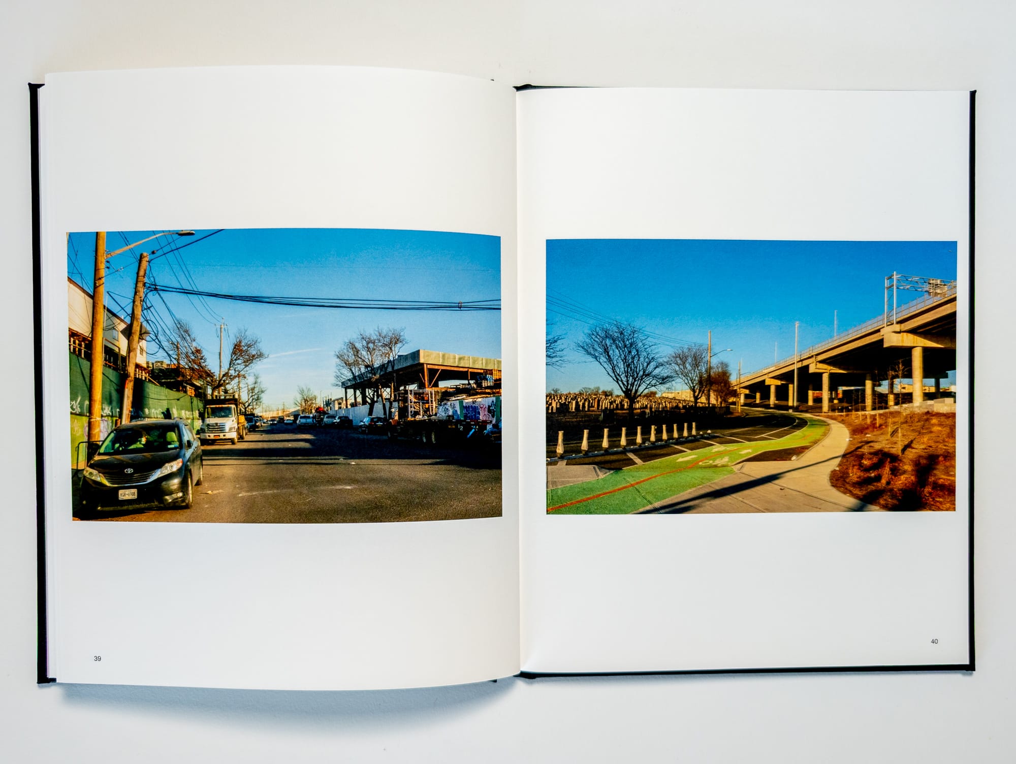
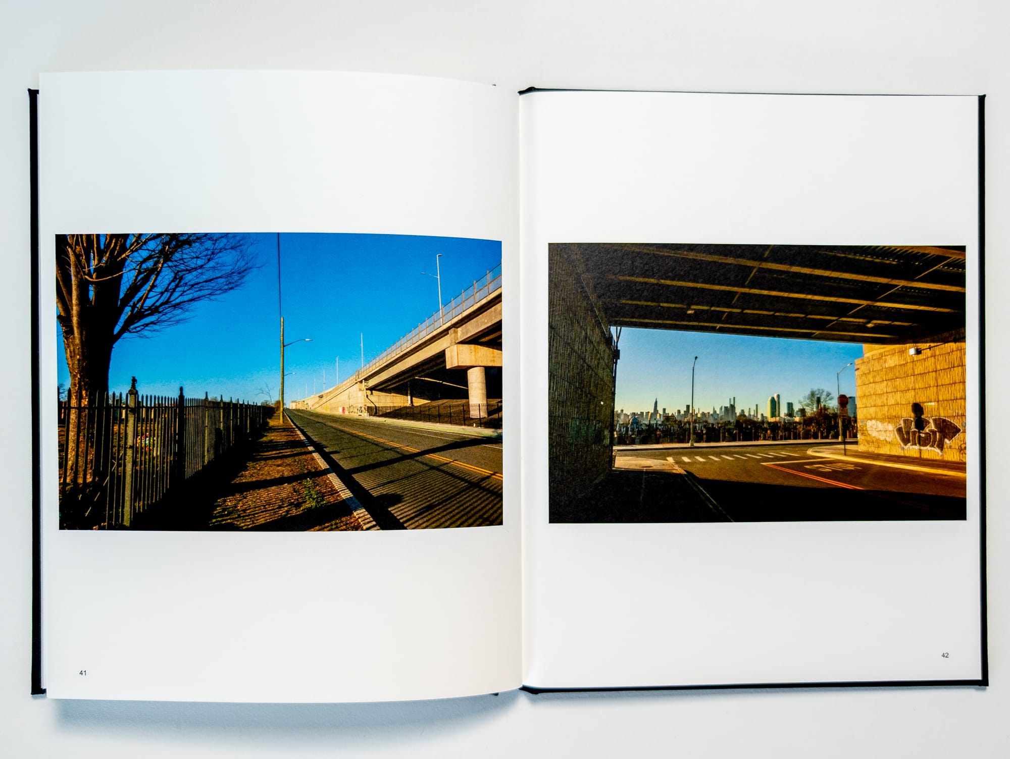
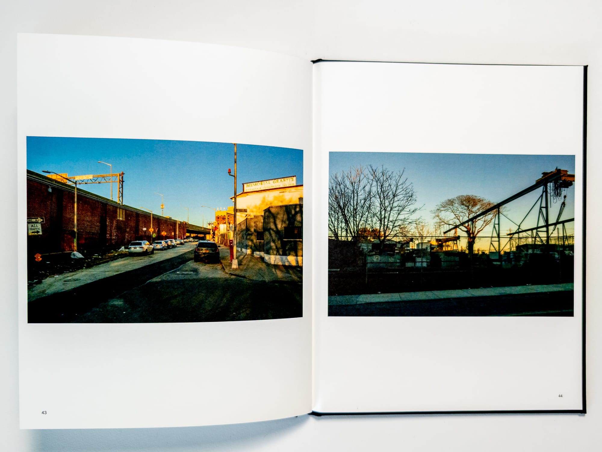
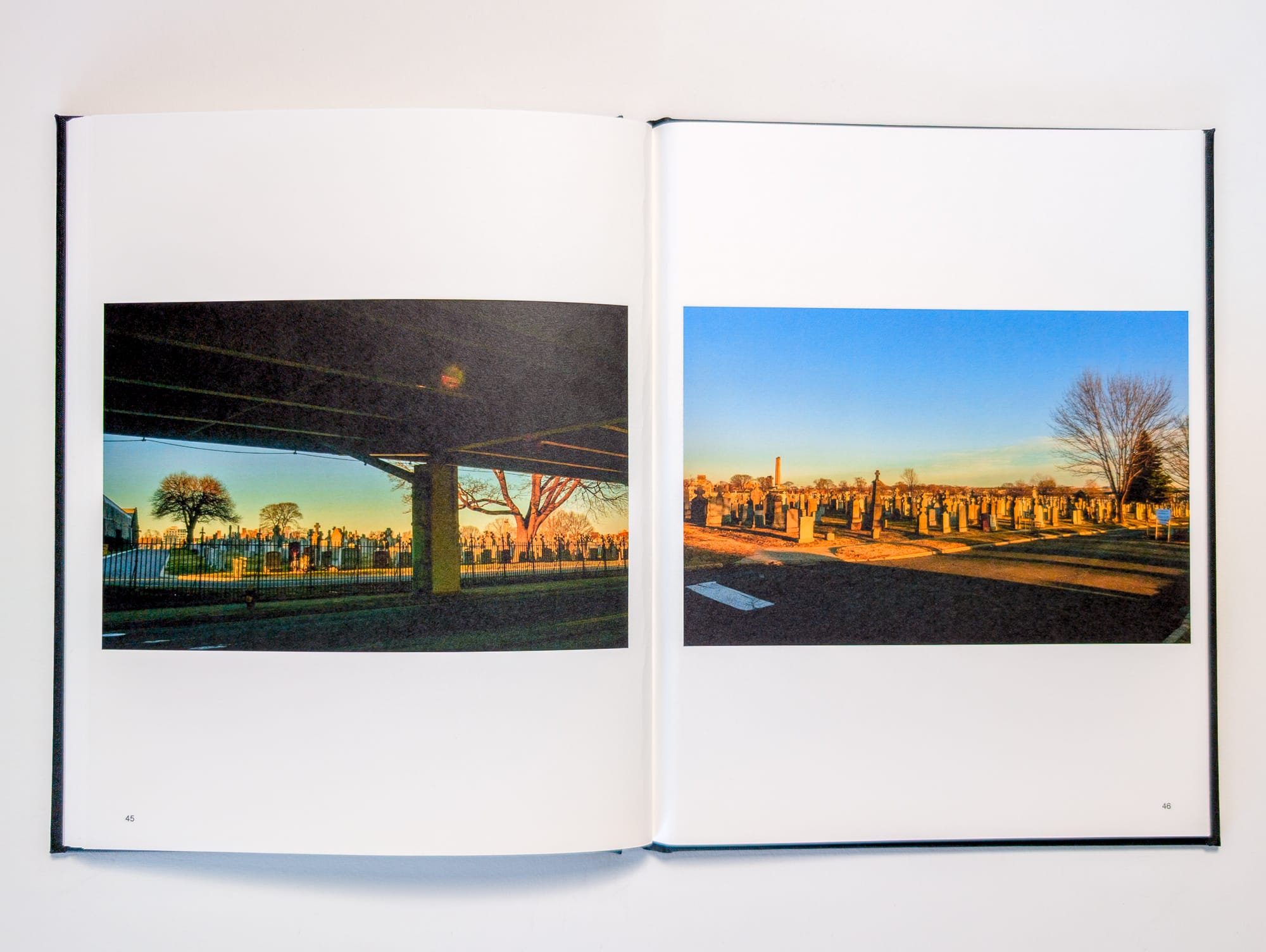
Maspeth Perimeter
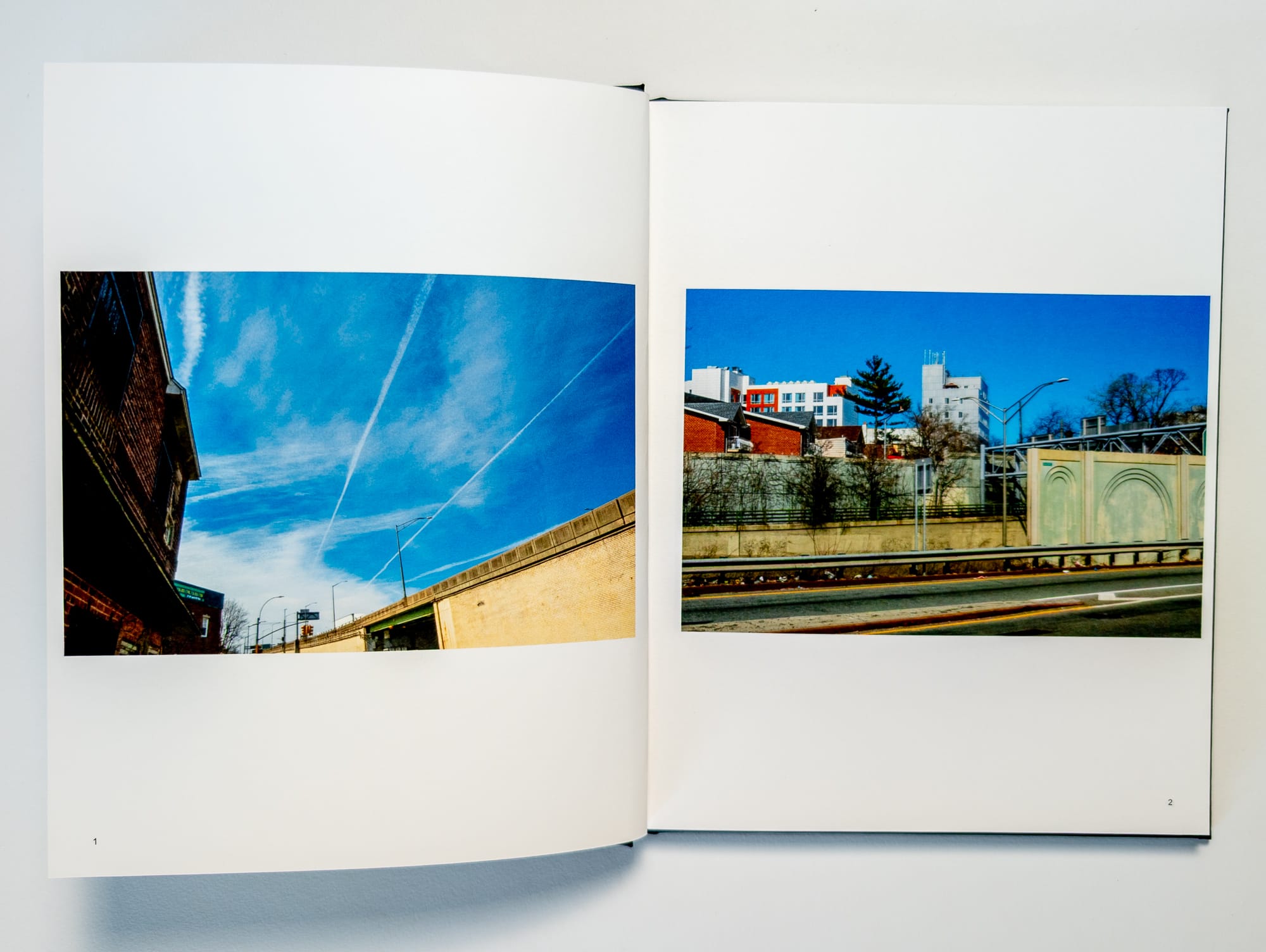
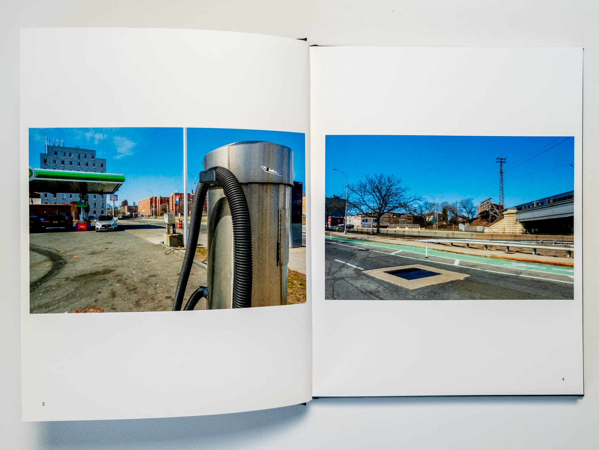
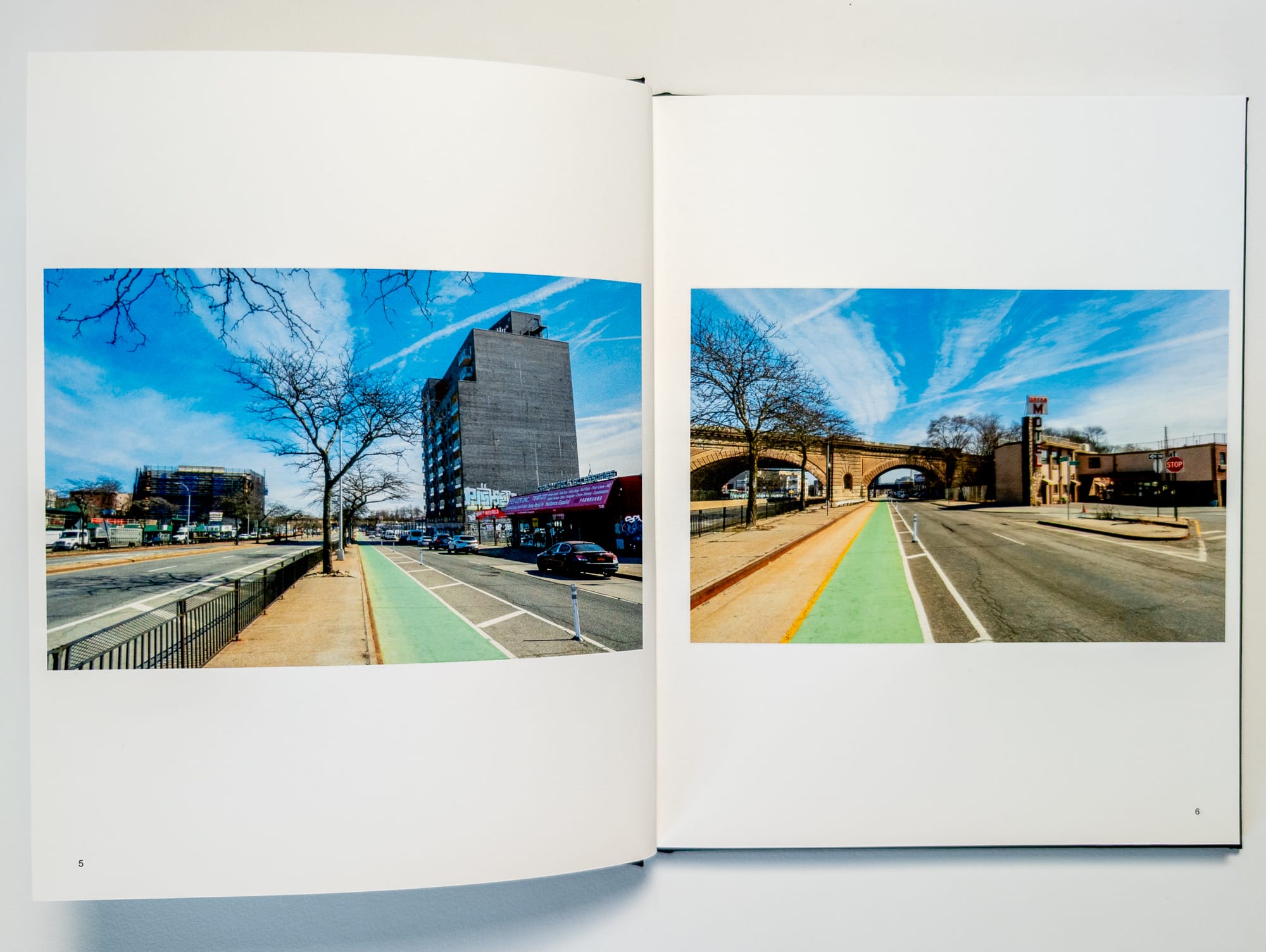
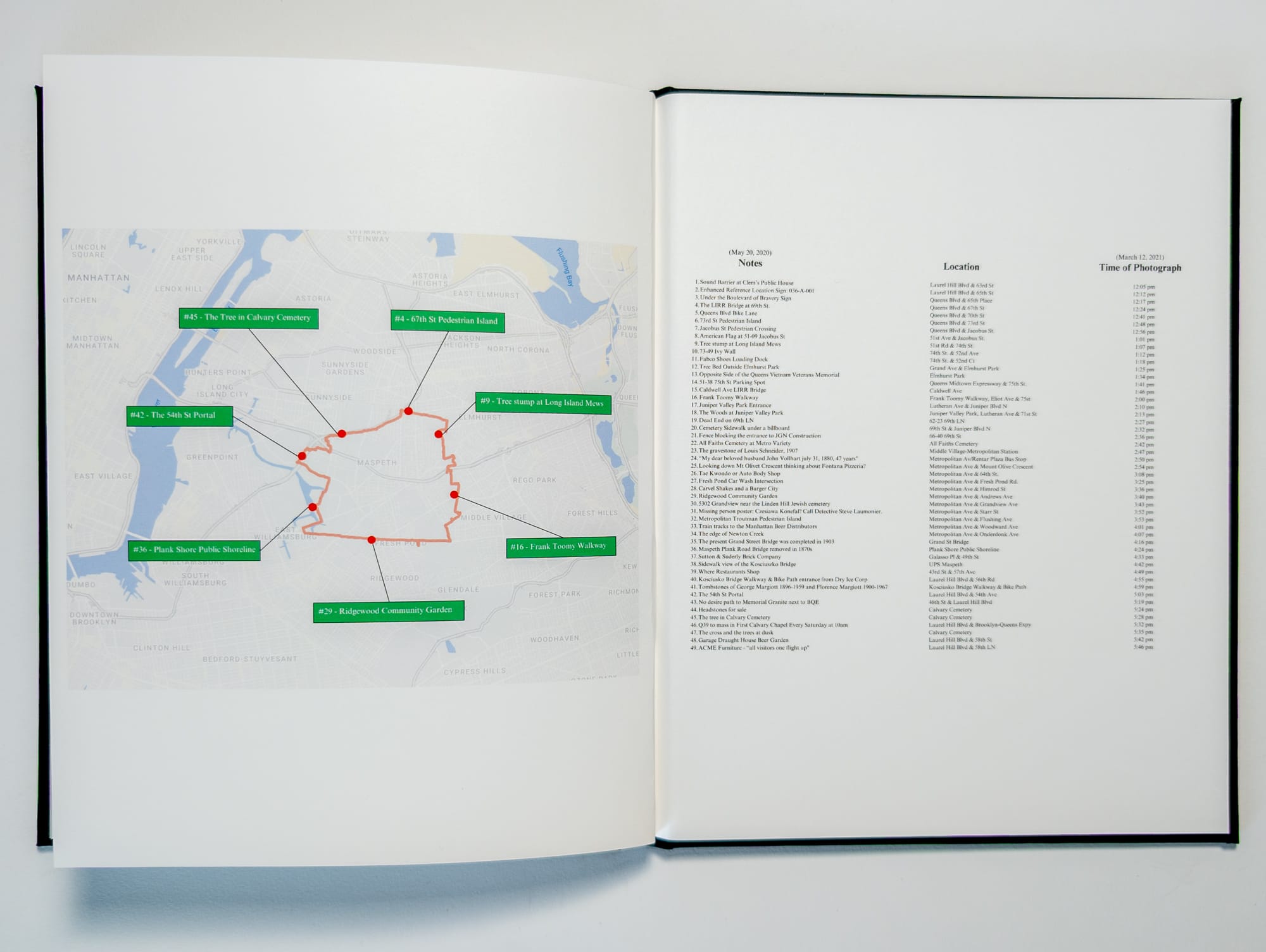
On May 20, 2020, I walked the perimeter of Maspeth, Queens, mapping 49 distinct locations. On March 12, 2021, I revisited each of these points, documenting them with both still photography and video. The still photographs were subsequently made into a photobook. This film presents the resulting video footage, capturing a visual and auditory record of the neighborhood's geography, pedestrian activity, and transit systems along its boundary.
Essay
It’s nearly impossible to construct a walk in the city without following existing corridors and designated pathways. For guidance, we turn to maps, which provide the ability to zoom in and out of certain geographies to understand how to navigate the terrain. For years now, I’ve been fascinated with using maps to understand where I might want to walk. Looking at maps almost instantly generates ideas for different routes. Finding order in these routes can swing wildly from highly structured to almost nonsensical. We look at maps to help organize our understanding of the city. One of the defining ways we group certain geographical areas of a city is by neighborhood. Every neighborhood has a unique boundary, which exists for various historical, political, geographic, and practical purposes.
Through my many walks in Western Queens, I would often cross multiple borders between neighborhoods. Often times, you might have no idea you’ve entered a new neighborhood, and there are many which have quite elastic borders depending on the culture of the area. Sometimes there will be signs alerting you that you are entering a new neighborhood, but more often than not, if you don’t really know the exact boundaries, you will have no idea.
The one neighborhood on my walks that always felt like it had distinct borders was Maspeth.
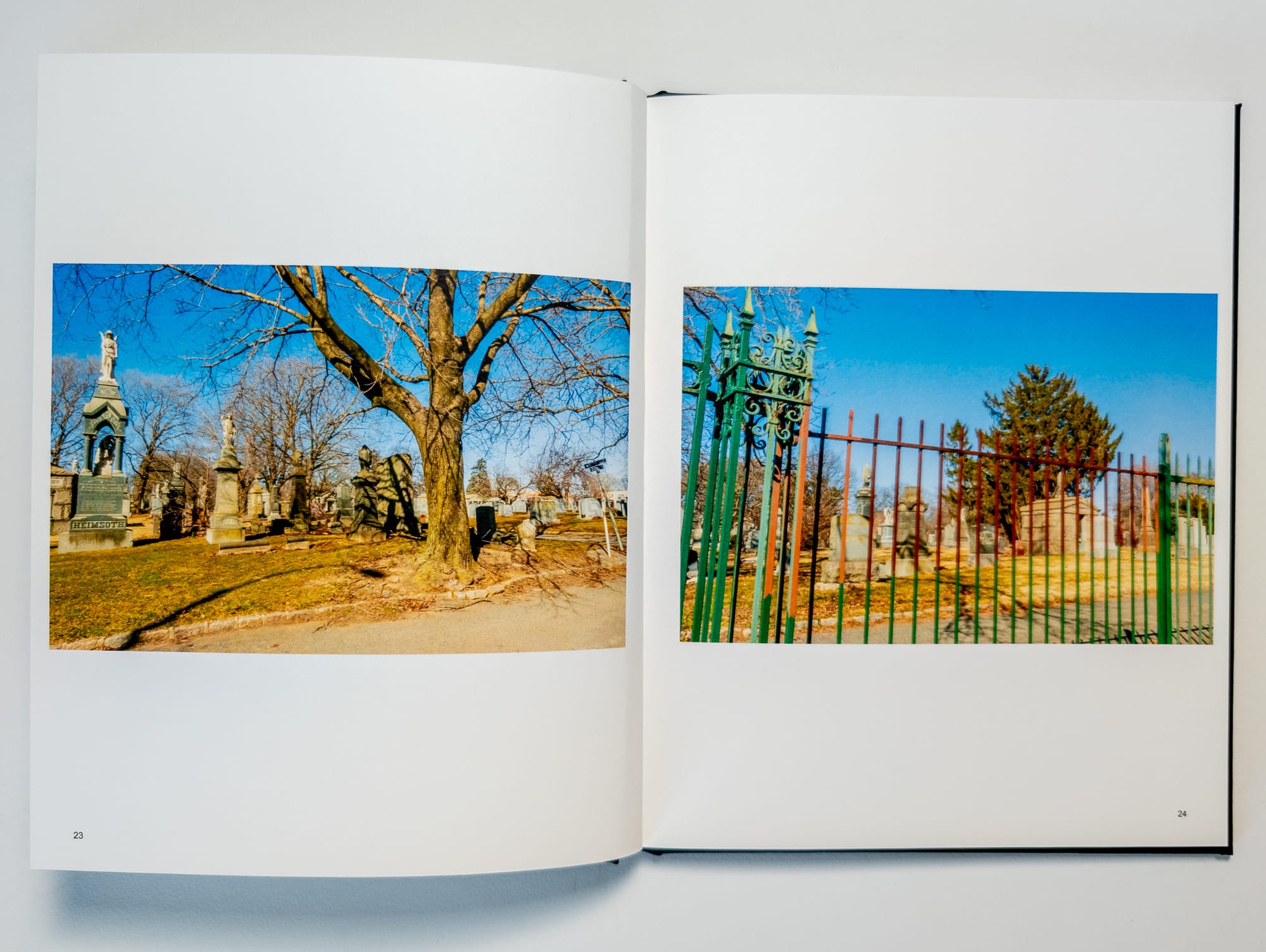
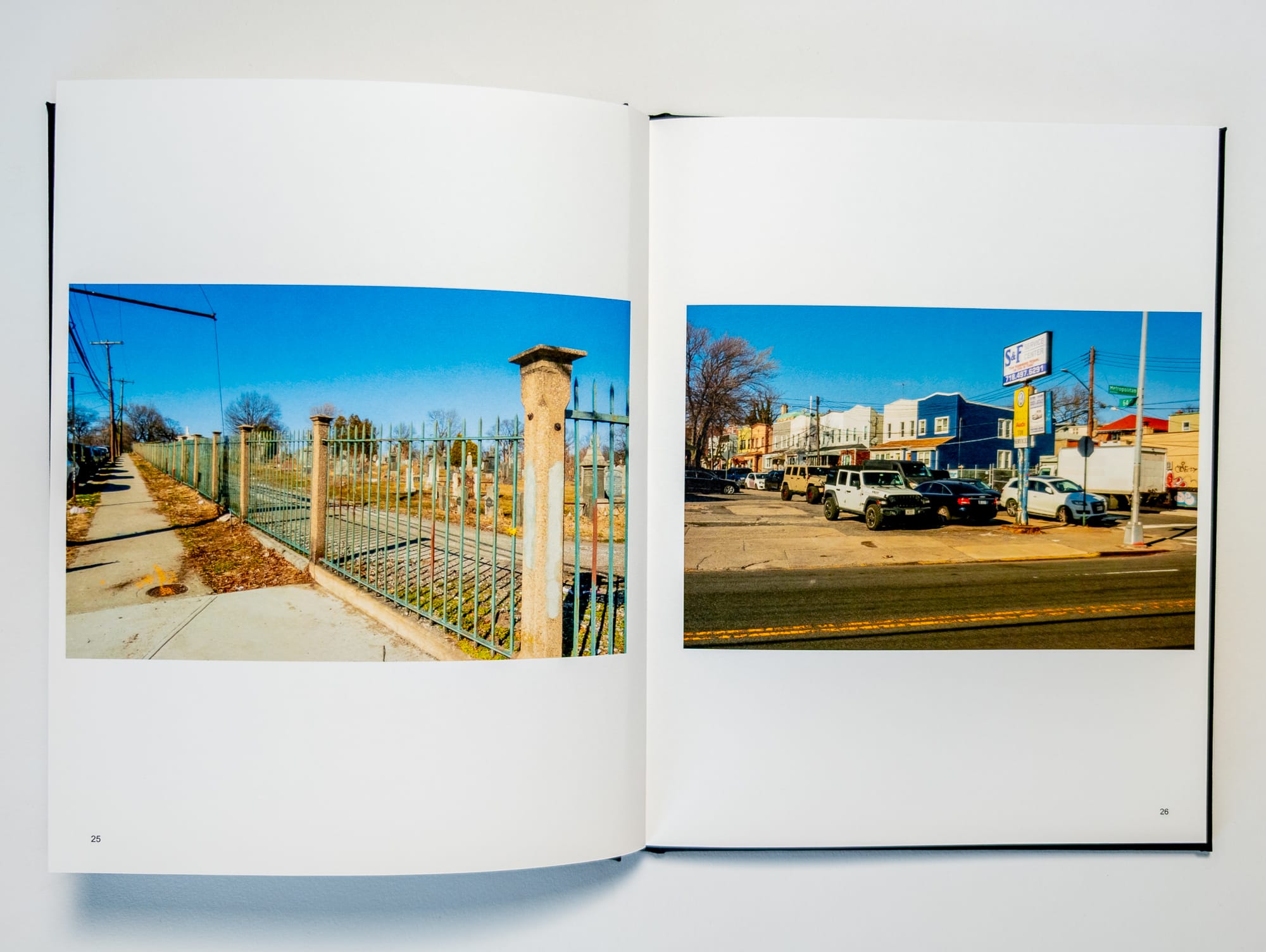
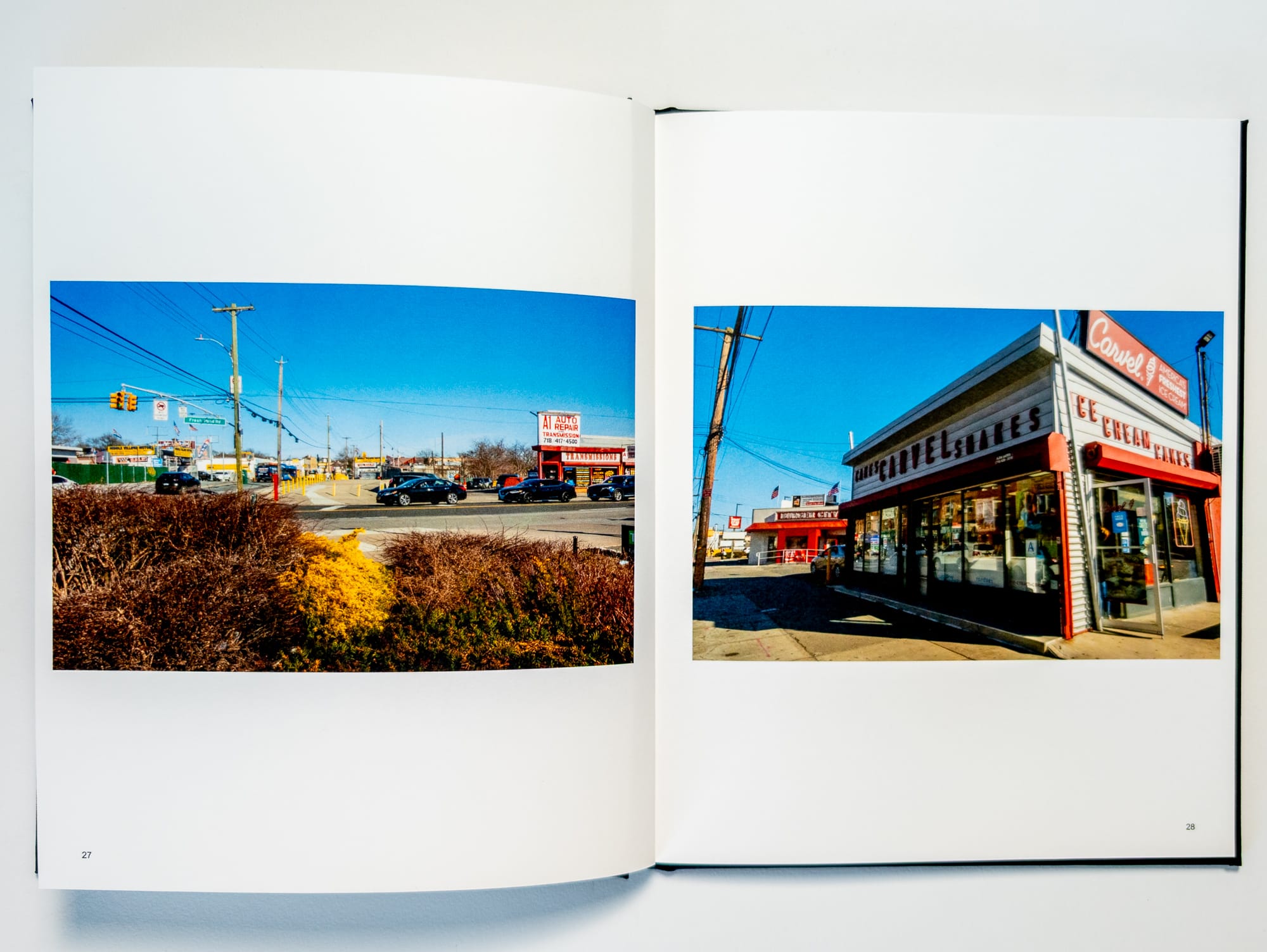
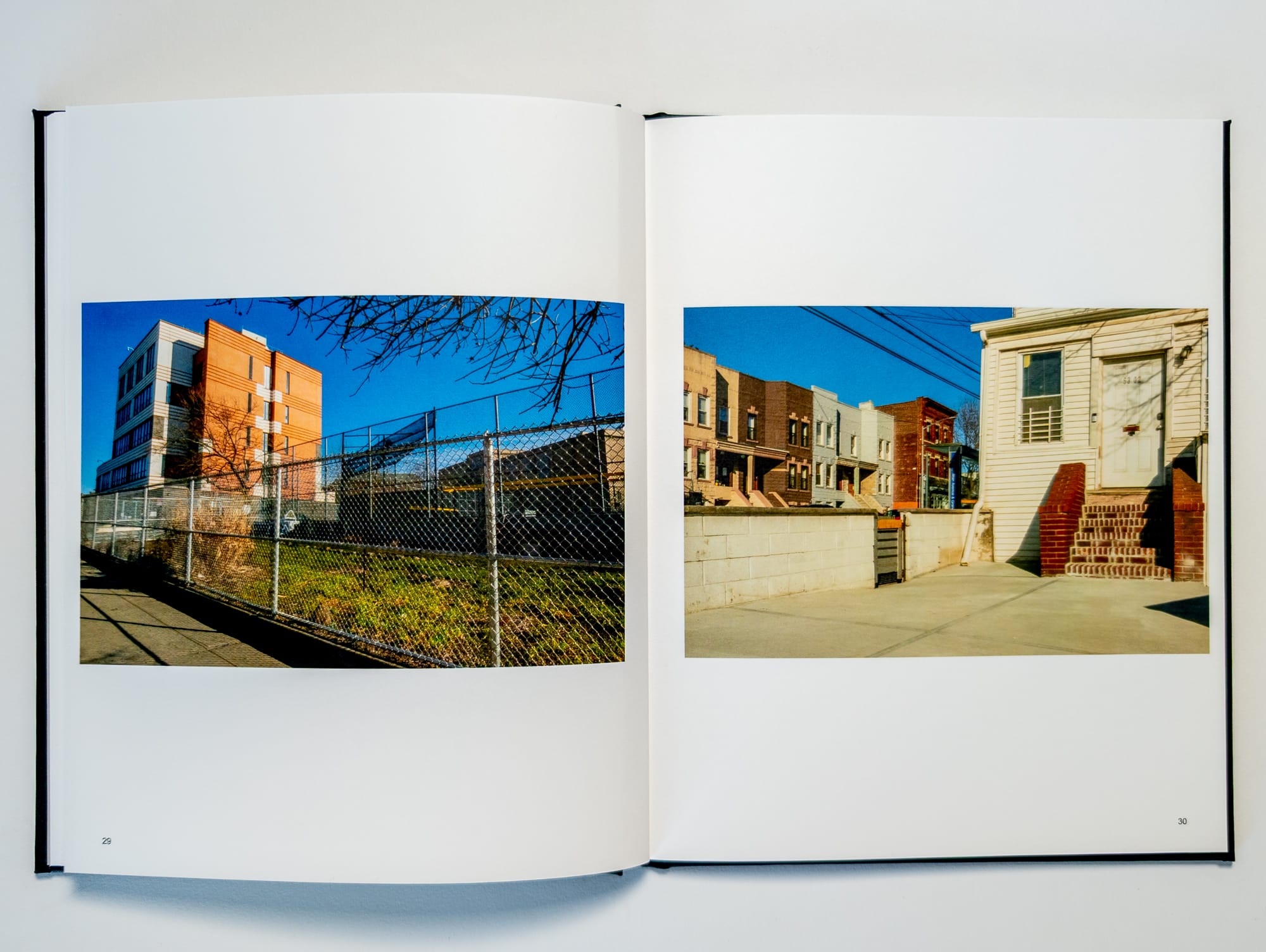
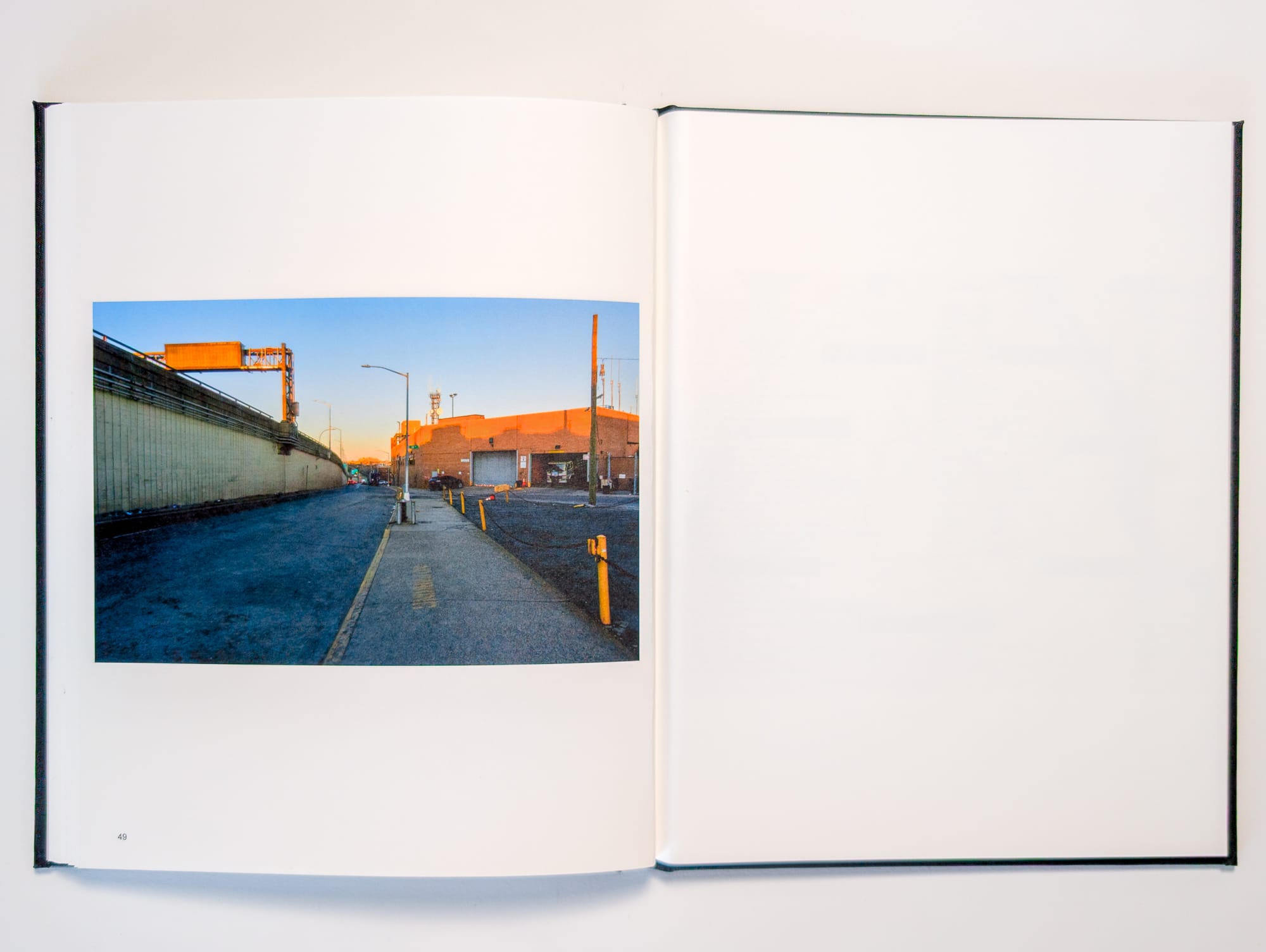
Maspeth caught my attention for a few reasons. It’s a sprawling area near Sunnyside, peppered with industrial zones, residential blocks, and commercial strips, all jumbled together in that “only in Queens it’ll never make logical sense” type of way. You can’t help but notice the Calvary Cemeteries as they dominate the skyline, plus there’s a lot of gritty industrial areas. There were several times when I took a turn and ended up walking down a sidewalk through one of these areas and would tell myself, "This is hell, why would anyone walk around here?" In fact, they probably don’t, but the pure existential disdain I felt for the landscape often compelled me to push through it.
After completing my walk around the perimeter of Manhattan, I became more interested in the idea of walking perimeters. The next natural idea would be to walk the perimeter of a neighborhood. During one of my nights scrolling through the maps of Western Queens, I decided that Maspeth would make a good subject for a perimeter walk. I didn’t spend much time pondering the idea; I immediately thought that since it would be a fixed route with specific locations, I could plot out exactly where I would make a photograph in an attempt to visually organize the walk in a symmetrical manner.
I had wanted to try this method of making photographs for several years, but my inability to organize my ideas kept me from executing. Choosing the perimeter of a neighborhood provided me with the structure and backbone I needed to try the idea. It’s not a novel approach. Plenty of photographers plot on a map where they want to make a photograph. Google Maps have given highly detailed perspectives on nearly every nook and cranny of a city at this point. You don’t even need to leave the apartment to walk the perimeter of a neighborhood.
In one inspired night, I quickly plotted the 50 locations on the perimeter of Maspeth and then made a plan to walk them. On the first walk, I would only stop to make a note at each location. I wanted to test out how it would change my perception of the walk and the locations to think about them without making any sort of photograph, which at that point went entirely against my documentary instincts since I had basically done nothing but make photographs as a method of documentation.
The first walk took place during the depth of the pandemic on May 20th, 2020. It’s highly likely the isolation, anxiety, and abundance of free time due to unemployment contributed to my desire for trying novel approaches. It was perhaps a way to keep my mind preoccupied on something I could control when everything else seemed chaotic. The streets of Queens were relatively calm and sedate during those days, which countered the doom you’d see on the news and social media.
I sat on the project for several months, and then in early 2021, when I decided I would be relocating from New York City, I felt a sense of urgency to finish the project. On March 12, 2021, I set out to revisit the 50 locations on the perimeter, this time making one photograph and recording one short video clip.
These type of purpose-driven walks have become the most thrilling for me the last few years. Adding to the intensity of this walk was the knowledge that it would likely be the last time I ever visited these locations. Creating these type of singular experiences of the urban landscape is something I know I want to continue exploring in my work.
Somewhere along the way, I missed one of the locations. It wasn’t until I started editing the book that I realized the error, which ended up teaching me another lesson about embracing the deviations and small mistakes that inevitably enter into the process. No matter how much I plan, something is always bound to go against my expectations and plans. It’s this duality between planning and chance that I find thrilling in all aspects of art.
The stakes might be relatively low, but the resulting book and video feel like an opening to explore more of these ideas, and will remain one of my favorite projects from my time in New York City.

I’m an photographer and marketing specialist living in Minneapolis. This is my newsletter on art, walking, urbanism and mindfulness.
Each issue, I share new work from my projects and try to make connections between ideas, articles and people that fascinate me. You can follow me on Instagram.